Pai Valley Viewpoint & Mountain Walk
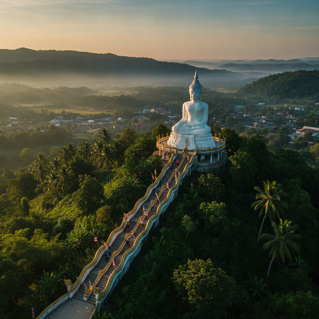
See Pai from above — the mountain ridges surrounding the narrow Pai valley provide panoramic viewpoints of one of the most dramatically situated small towns in Southeast Asia, accessible by the walking trails and motorbike roads that climb out of the valley into the forested highlands.
- 1
Yun Lai Viewpoint
Yun Lai Viewpoint on the hill north of Pai town provides the most popular panoramic view of the Pai valley — the viewpoint accessible by the steep road from the town centre (motorbike recommended in the dry season, 4WD only in the wet season) rises above the mist layer that fills the valley in the cool season mornings (November-February) to provide the classic image of Pai: the white mist sea covering the valley floor with only the mountain peaks and the town's temple spires visible above. The sunrise viewpoint experience at Yun Lai (requiring a 5am departure from town to be in position before the sunrise at around 6am) has become the most popular single activity at Pai and attracts the largest gatherings of visitors at any single point in the town's tourism economy.
- 2
Pai Canyon Viewpoint
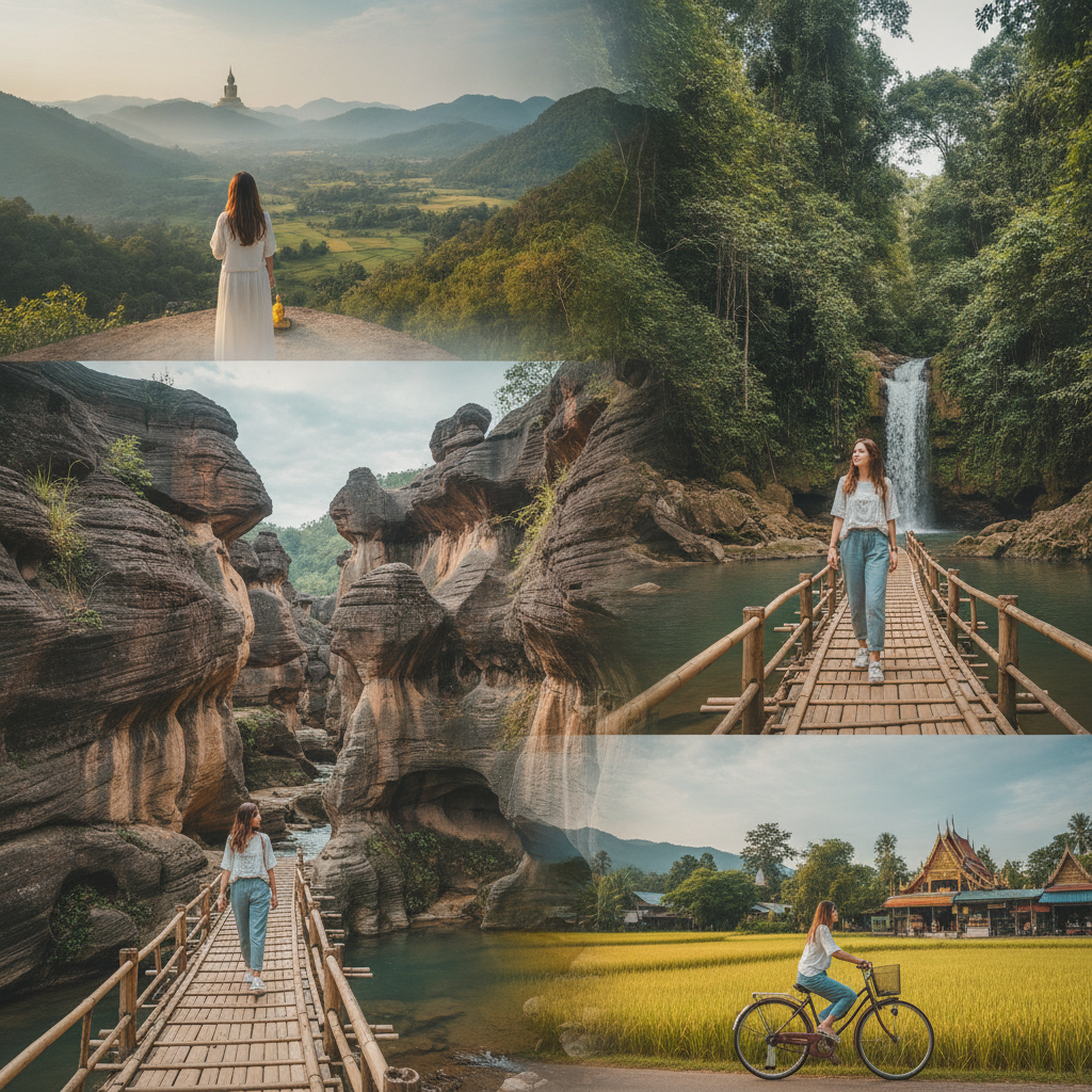
Pai Canyon (Kong Lan) south of town is a dramatic erosion landscape of narrow clay ridges, steep-sided gullies, and the bare reddish earth of the exposed laterite that creates a miniature badlands environment in the otherwise forested valley landscape — the ridge walking at Pai Canyon (the narrow paths along the top of the ridges, with steep drops on both sides and the valley visible in both directions) is the most adventurous accessible land activity in the Pai area. The canyon's dramatically contrasting environment (the bare eroded earth surrounded by the green rice fields and forested slopes of the surrounding valley) creates a geological curiosity that is unique in the northern Thai highlands.
- 3
Mountain Road 1095
The mountain road (Route 1095) connecting Pai to Chiang Mai via the Doi Chiang Dao range is one of the most celebrated motorcycle touring routes in Southeast Asia — the 762 curves over 135km (the mountain road's curve count is noted on a sign at the beginning of the descent into Pai) through the forested mountain landscape of the Mae Taeng valley and the Pai river watershed provides the most cinematic road journey accessible in northern Thailand. The road passes through the elevation changes from the Mae Taeng lowlands through the pine forest of the highland passes to the subtropical valley of Pai, with the vegetation and temperature changing dramatically over the ascent and descent.
- 4
Pai Valley Rice Fields
The rice fields of the Pai valley floor, planted in the narrow flat land between the mountain ranges on both sides, provide the most accessible agricultural landscape walking experience in northern Thailand — the seasonal cycle of the rice paddies (the transplanting of rice seedlings in May-June, the deep green of the growing crop through July-September, the gold of the ripening grain in October, and the harvest and the stubble-burning in November) creates a year-round visual engagement with the agricultural cycle that is the economic foundation of the valley community. The morning walk through the paddy fields east of the town centre (toward the distant mountains of the Myanmar border range) with the mist clearing from the field surface and the birds working the paddies provides the most peaceful start to a Pai day.
- 5
Sunset Ridge Hike
The sunset hike to the ridge above Pai town on the western side (accessible by the trail from the town's western residential area) provides the most accessible viewpoint of the Pai valley in the late afternoon light — the ridge is above the elevation at which the town's tourist activity is visible and provides a view of the valley from a natural rather than a developed perspective. The hike (approximately 45 minutes from the town centre to the ridge top, following the trail through the secondary forest above the last houses) passes the community of hill tribe farmers whose small-scale agriculture occupies the lower slopes between the town and the ridge forest.
- 6
Village Viewpoint Circuit
The circuit of viewpoints and villages in the hills north and east of Pai (accessible by motorbike on the network of concrete and dirt roads that connect the hill tribe communities to the town) provides the most comprehensive encounter with the geographical setting of the valley and the human communities that occupy the surrounding highland landscape — the Chinese Kuomintang village of Ban Santichon (the community of Yunnan Chinese refugees whose families came to Thailand via Myanmar in the 1950s), the various Karen and Shan villages on the slopes above the valley, and the viewpoints over the valley from the highland roads create a half-day circuit that reveals the ethnic and cultural complexity of the mountain landscape surrounding the town.
Walk this route with audio
Stories play automatically as you reach each stop — no tapping needed.