Merv Sultan Kala Medieval Islamic Capital
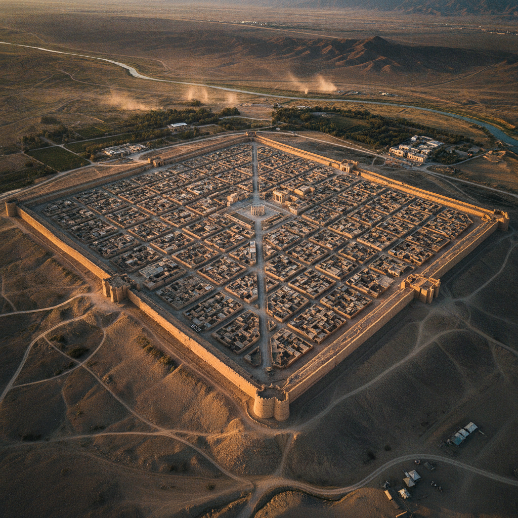
Explore Sultan Kala — the medieval Islamic city that was the largest of the Merv settlements and possibly the largest city in the world in the 12th century under the Great Seljuk Empire, the ruins covering several square kilometers of desert with traces of the city's bazaars, mosques, caravanserais, and residential quarters.
- 1
Sultan Kala Main Walls
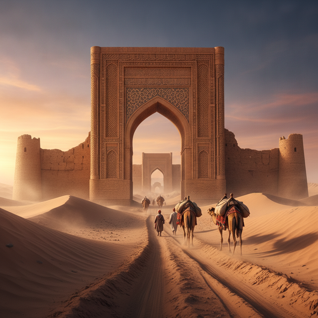
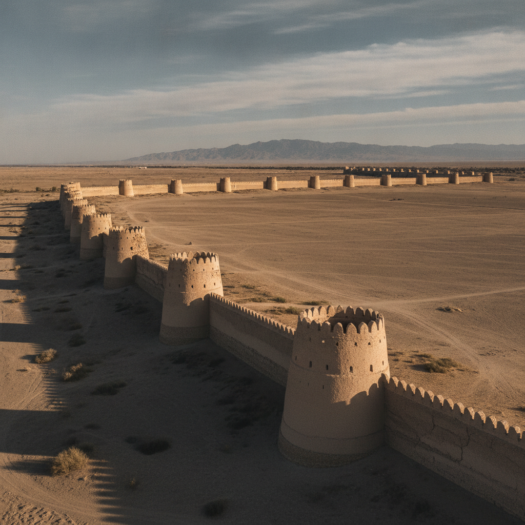
The main walls of Sultan Kala enclosing 1,200 hectares — the mud-brick defensive perimeter of the medieval city, the walls extending several kilometers across the desert with their original towers and gateways eroded but still recognizable, the scale of the enclosure giving a sense of the city's extraordinary medieval size.
- 2
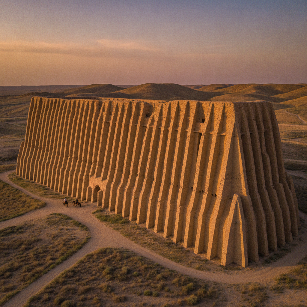
Great Kiz Kala Castle
The Great Kiz Kala castle within Sultan Kala — one of two corrugated-wall Sasanian buildings whose distinctive ribbed exterior walls survive as the most visually distinctive ruins at the Merv site, the castle built in the 6th-7th century CE as a noble residence, the corrugated pattern both decorative and structurally functional.
- 3
Ice House Yakhdan Medieval
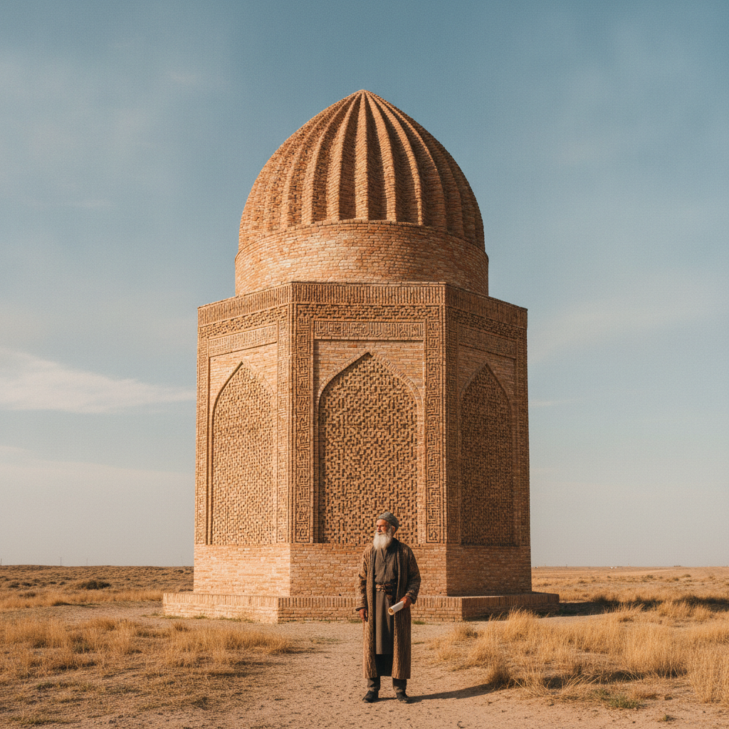
The medieval ice house (yakhdan) within Sultan Kala — the conical mud-brick structure designed to store winter ice for summer use, one of the best-preserved examples of medieval Central Asian food refrigeration technology, the building showing the sophisticated urban infrastructure of the Great Seljuk city.
- 4
Bazaar Quarter Remains
The bazaar quarter remains in central Sultan Kala — the raised mounds indicating the dense commercial district that served a population of hundreds of thousands, the ceramic sherds and architectural fragments visible on the surface showing the range of goods produced and traded at this Silk Road commercial hub.
- 5
Friday Mosque Foundation
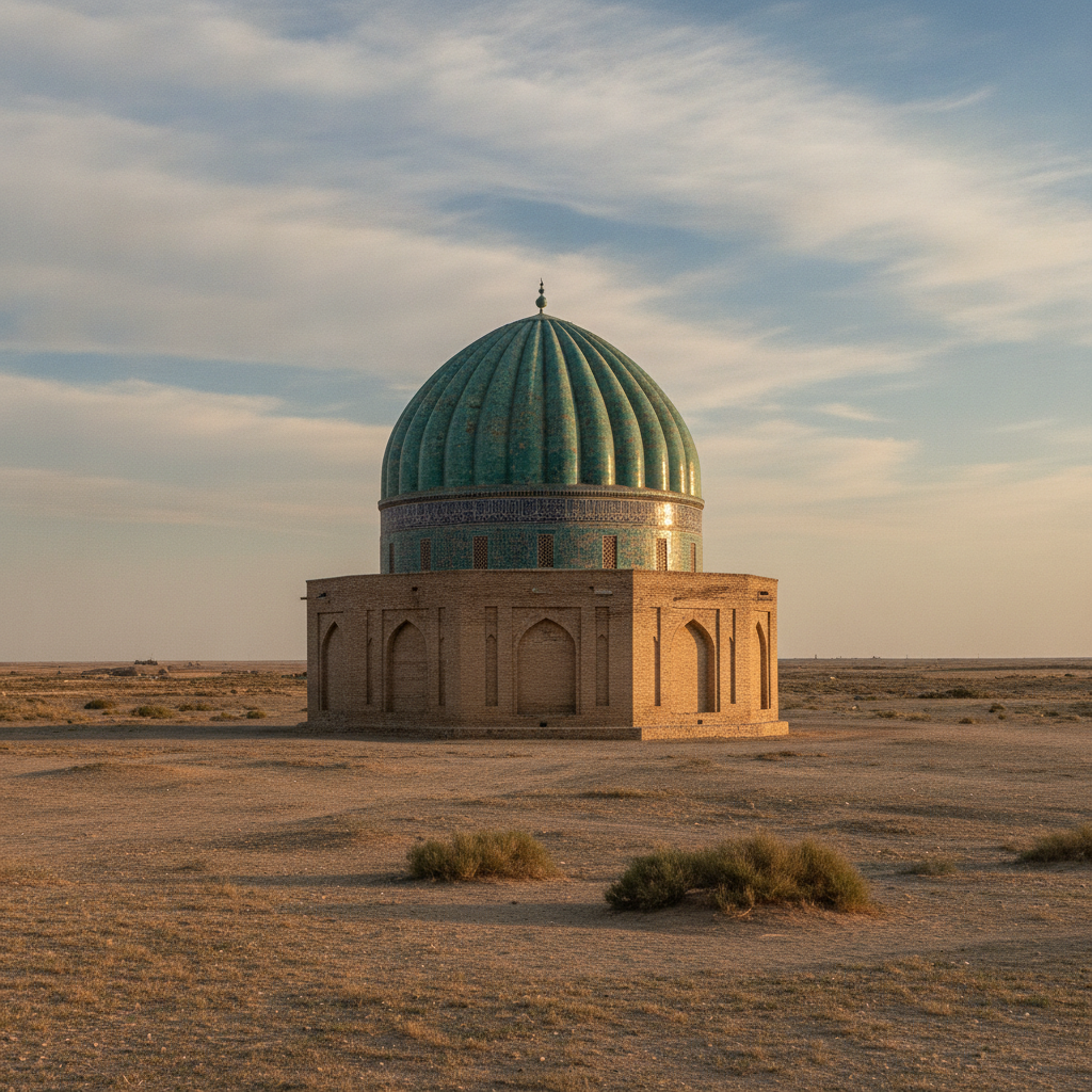
The foundation area of the Friday Mosque of Sultan Kala — the largest mosque of medieval Merv whose dimensions and location within the city are known from the 13th-century geographer Yaqut al-Hamawi's account, the mosque destroyed by the Mongols in 1221 but its position marking the religious and civic center of the medieval city.
- 6
Mongol Destruction Layer
The Mongol destruction layer visible at excavated sections — the burned destruction level of 1221 when Tolui Khan's forces systematically demolished the city after a siege, the archaeological evidence of the massacre that killed an estimated 700,000 people and ended Merv's role as a major urban center.
Walk this route with audio
Stories play automatically as you reach each stop — no tapping needed.