Vang Vieng Nam Song River Tubing Walk
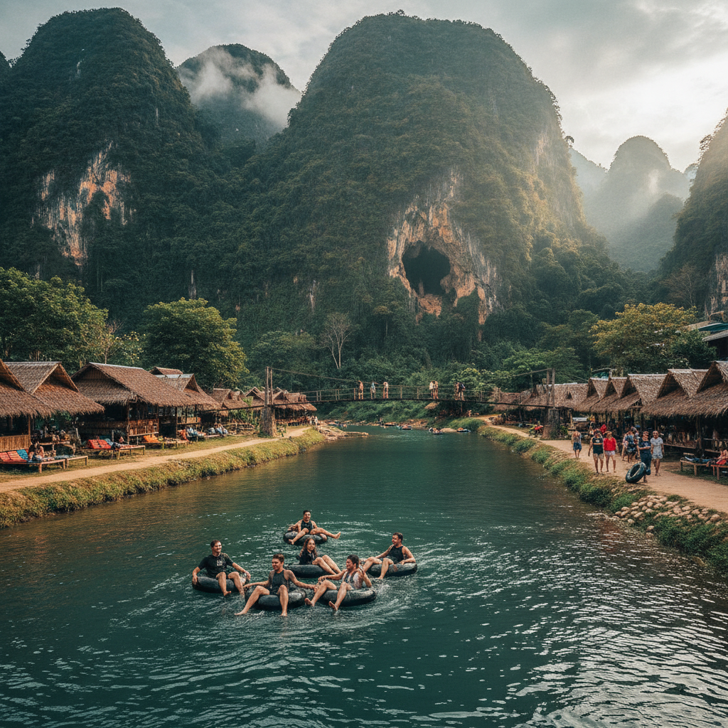
Float the Nam Song — the inner tube float down the Nam Song River through the limestone karst landscape around Vang Vieng is the activity that put this small Lao town on the backpacker map and remains the most iconic experience in the Laos tourist circuit.
- 1
Vang Vieng Tubing Start
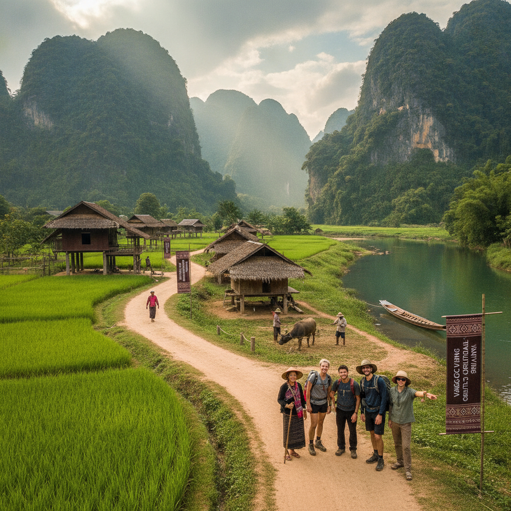
The tubing operations in Vang Vieng town (the rental shops providing the rubber inner tubes, the waterproof bags, and the life jackets for the Nam Song River float) are the primary commercial activity of the Vang Vieng tourist economy — the tube rental price includes the tuk-tuk transport to the upstream start point approximately 4km north of town, from which the natural current carries the tuber back to the town area over a 2-3 hour float. The tubing experience's current form (focused on the river scenery and the cave stops after the removal of the riverside bar infrastructure following the tourist safety incidents of 2012) is a more contemplative and more genuinely river-focused experience than the bar-hopping float that made Vang Vieng famous in the 2000s — the karst limestone cliffs, the cave mouths visible in the cliff faces above the river, and the rural landscape of rice paddies and village communities visible from the water are the current primary attractions of the float.
- 2
Nam Song Karst Cliffs
The Nam Song River's limestone karst cliffs (the dramatic vertical walls of grey limestone rising directly from the river bank, with the cave openings and the tropical vegetation growing in the cliff face crevices) are the defining natural feature of the Vang Vieng landscape — the karst formation (the limestone dissolved by rainwater over millions of years to create the characteristic haystack towers and the cave systems visible throughout the Vang Vieng basin) is the same geological process responsible for the dramatic limestone landscapes of Halong Bay in Vietnam and the Guilin landscape in China, but is accessible here at the level of the river surface from the floating tube. The cliff faces' height (some towers rising 200-300 metres above the river) and the variety of cave openings visible in the cliff walls create the most dramatic enclosed river landscape accessible in Laos.
- 3
Tham Phu Kham Blue Lagoon
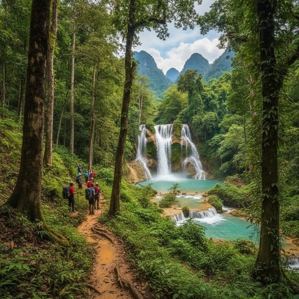
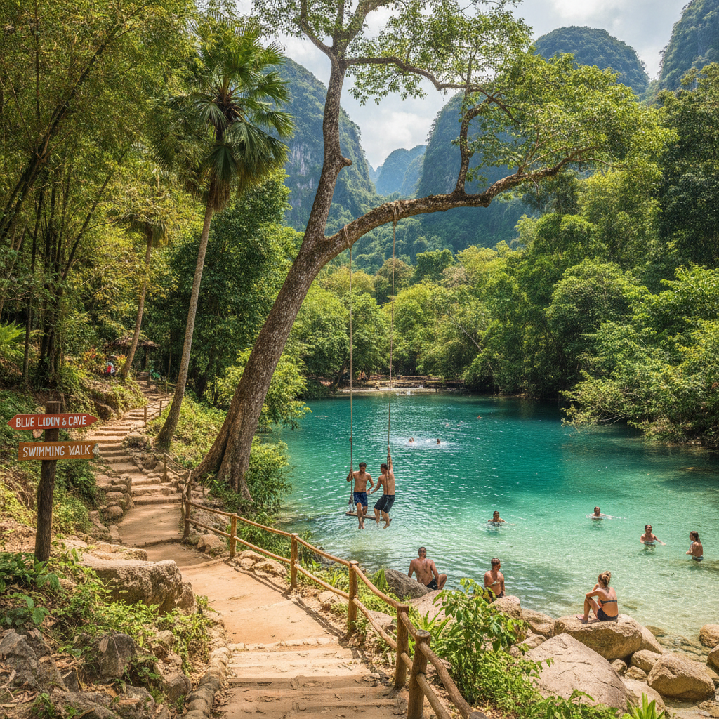
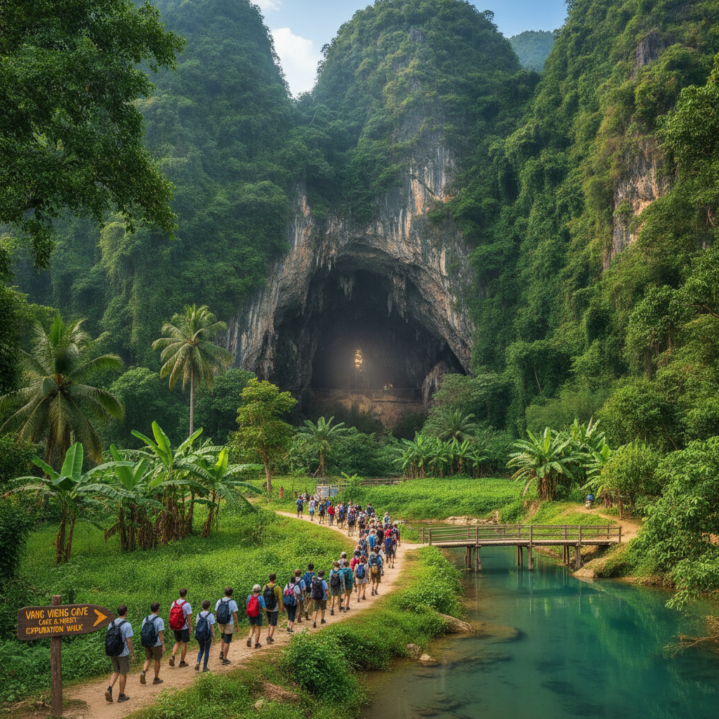
Tham Phu Kham cave and the Blue Lagoon (the natural swimming pool at the base of the limestone hill, with the emerald-blue water of the spring-fed pool providing the most inviting swimming accessible near Vang Vieng) is the most visited single attraction in the area — the 20-minute walk from the road to the lagoon (through the rice fields at the base of the karst hills) and the climb to the cave entrance above the lagoon (the cave containing a large reclining bronze Buddha and the stalactite chambers that extend into the limestone hill) constitute the most complete single excursion accessible from the Vang Vieng town base. The Blue Lagoon's water (the clear turquoise spring water whose colour comes from the dissolved limestone minerals in the same manner as the Erawan Falls in Thailand) is at its most vivid in the dry season (November-April) when the recent rains have not disturbed the water clarity.
- 4
River Kayaking Route
The kayaking on the Nam Song River (the guided kayak tour offered by the Vang Vieng operators as an alternative to the tubing, using hard-shell or inflatable kayaks on the same river section between the upstream starting point and the town) provides the most active and most complete encounter with the river environment accessible from Vang Vieng — the kayak's higher vantage point (above the water surface level of the inner tube) and the paddler's ability to control direction and pace (stopping at the cave entrances, exploring the river margins, and accessing the shallower channels inaccessible to the tubing) creates a fundamentally different river experience from the passive float of the tube. The kayaking tour typically includes stops at the riverside caves, the local fishing communities visible on the river bank, and the Blue Lagoon for swimming.
- 5
Sunset Viewpoint Vang Vieng
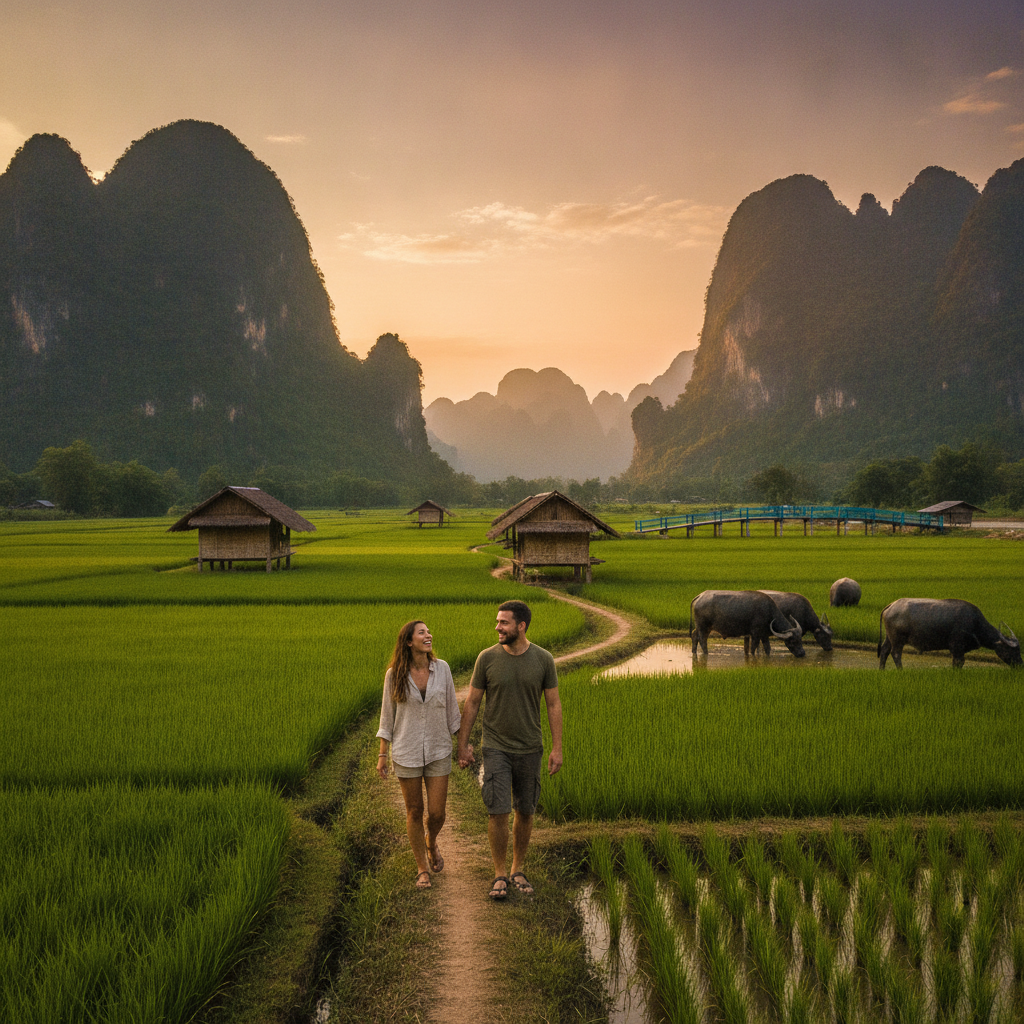
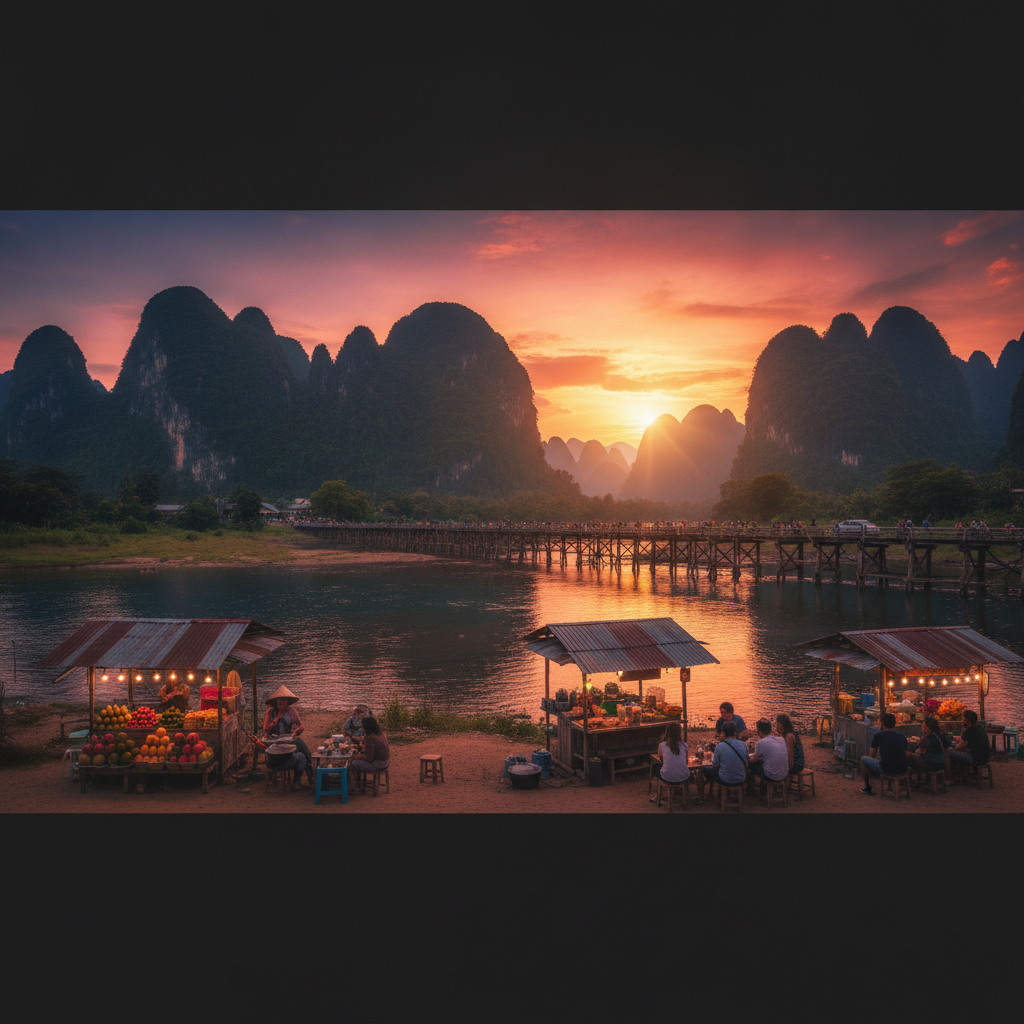
The sunset viewpoint from the various hill positions around the Vang Vieng basin (the karst hills immediately accessible from the town provide elevated viewpoints that reveal the full panoramic scale of the valley — the Nam Song River visible as a silver curve through the green rice paddy plain, the limestone towers rising above the flat valley floor, and the distant mountains of the Annamite Range visible at the eastern horizon) is the most photogenic single experience accessible in Vang Vieng. The most popular sunset viewpoint (the rocky hilltop above the town accessed by a short but steep walk from the road near the market area) provides the most comprehensive panorama of the karst landscape accessible without professional climbing equipment.
- 6
Nam Song Fish Farm
The traditional fish farming operations on the Nam Song River (the bamboo fish traps and the net enclosures visible in the shallow sections of the river used by the village communities along the river bank for the traditional freshwater fish aquaculture) represent the most directly observable food production accessible from the Vang Vieng tourist base — the fish farming tradition (the Lao freshwater fish species bred in the river pen enclosures and harvested for the local market) is the most important single protein production activity of the village communities in the Nam Song valley. The fish available at the riverside restaurants of Vang Vieng (grilled river fish, the fish laap using the fresh catch, and the fish soup preparations of the Lao kitchen) are sourced from these same river farm operations visible during the tubing and kayaking journey.
Walk this route with audio
Stories play automatically as you reach each stop — no tapping needed.