Kakadu 4WD Floodplain & Estuarine Walk
Explore Kakadu's accessible estuarine areas in the north — the tidal flats of the Van Diemen Gulf where the South Alligator River meets the sea, for mud-flat birdwatching and estuarine crocodile encounters.
- 1
South Alligator River Mouth
The South Alligator River enters the Van Diemen Gulf through a vast estuarine delta — the tidal flats extend for kilometres at low tide, and the river mouth is one of the most productive estuarine habitats in northern Australia.
- 2
Field Island View
Field Island in the river mouth is a significant nesting site for flatback sea turtles — the island is accessible by boat and the tidal channels between the island and the mainland are prime saltwater crocodile habitat.
- 3
Estuarine Crocodile Mud Flats
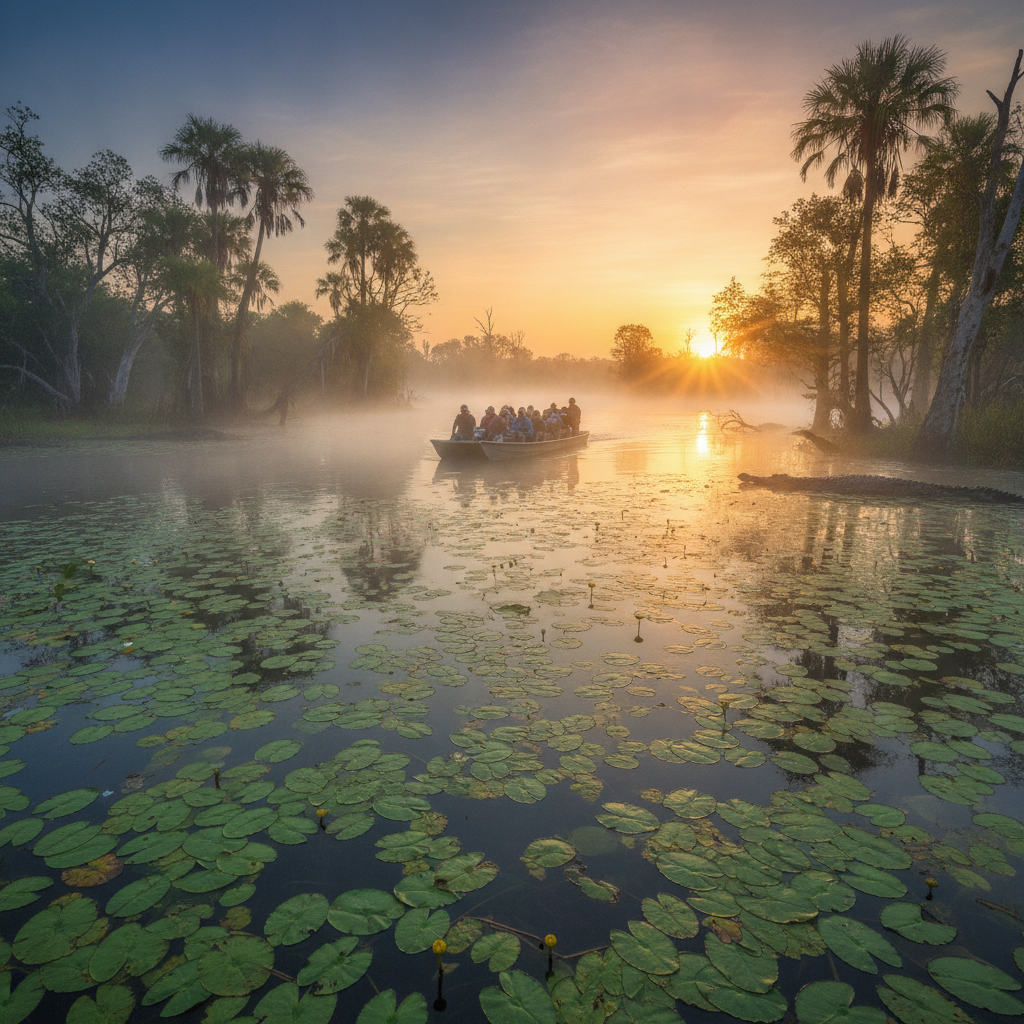
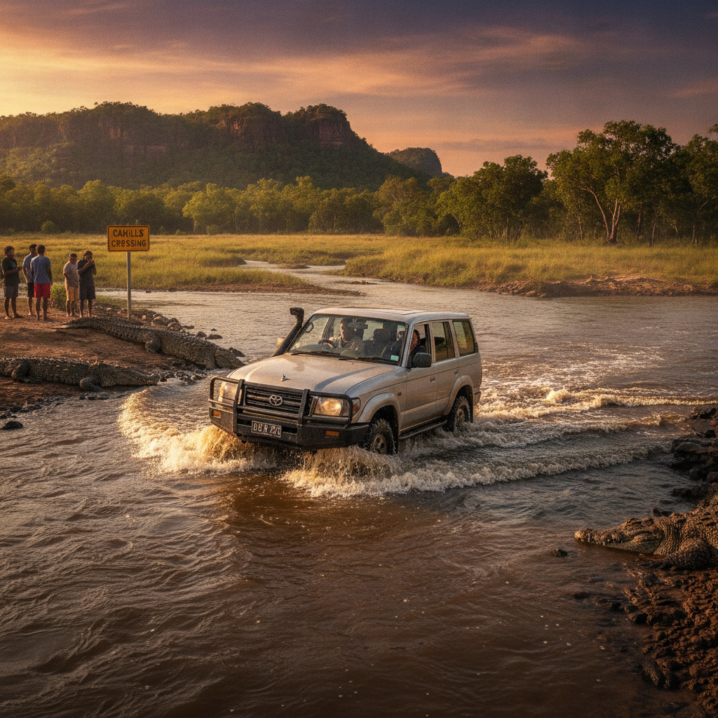
Estuarine crocodiles bask on the tidal mud flats of the river mouth — the populations in the tidal reaches of the South Alligator River are among the densest in the Territory, with large animals regularly observed.
- 4
Mangrove Kingfisher Zone
The mangrove forest around the river mouth supports the full suite of mangrove-specialist birds — yellow-billed kingfisher, mangrove golden whistler, and the large-billed gerygone are all found in these mangroves.
- 5
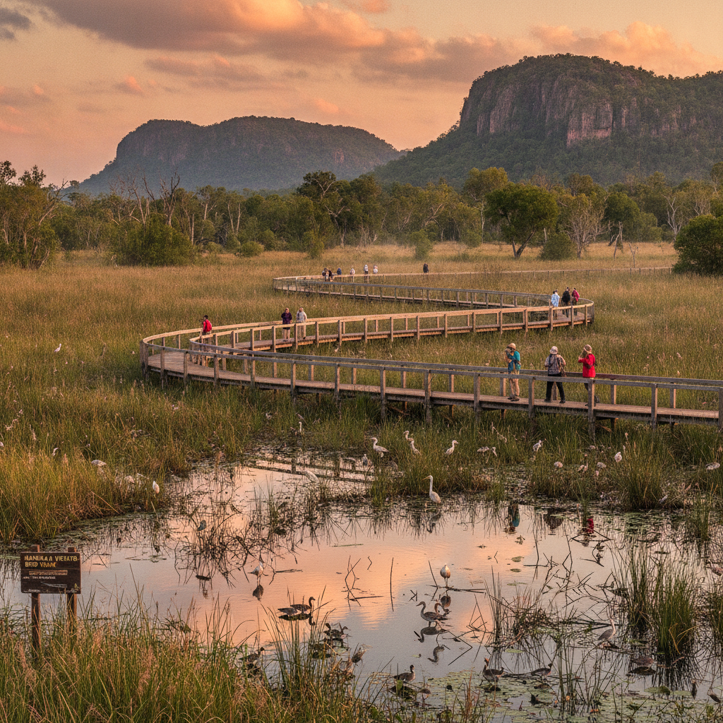
Tidal Flat Migratory Birds
The exposed tidal flats of the Van Diemen Gulf attract enormous numbers of migratory shorebirds — in the wet-dry transition, the flats can hold tens of thousands of godwits, sandpipers, and plovers on their annual migration.
- 6
Arnhem Land Escarpment Horizon
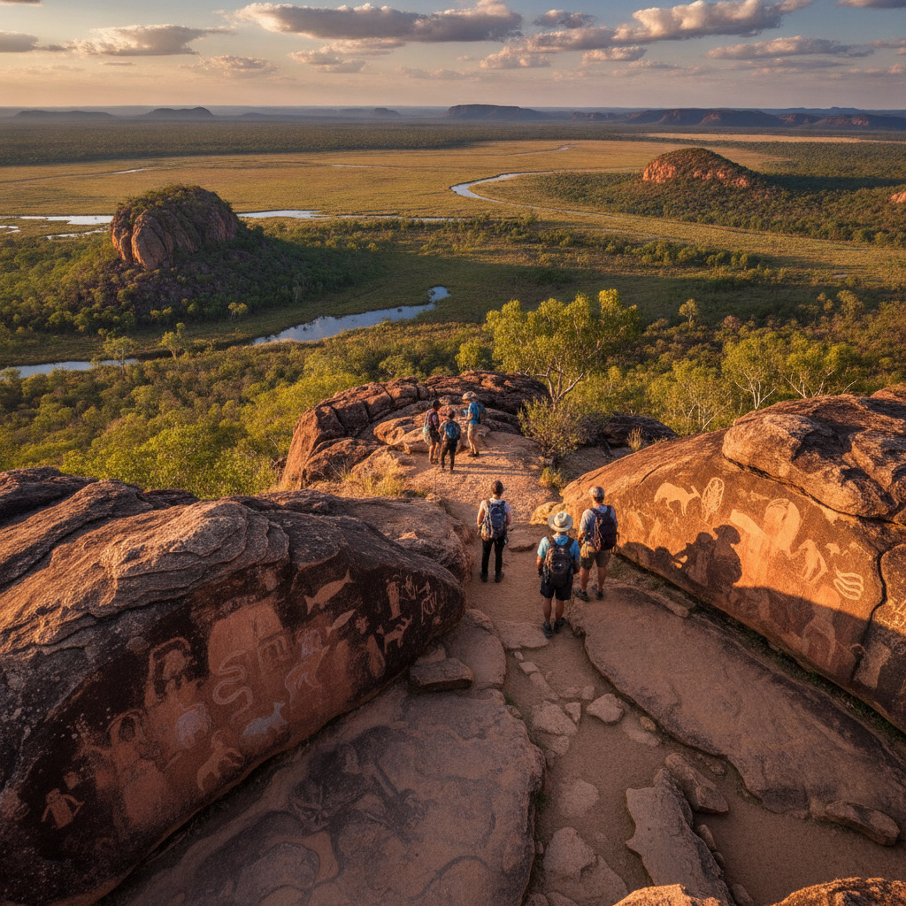
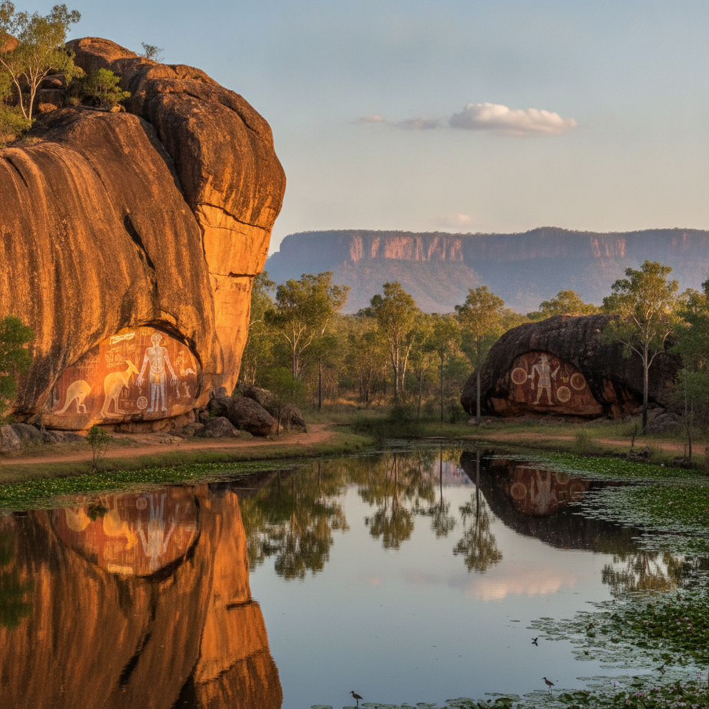
From the coastal plain north of Kakadu, the Arnhem Land escarpment is visible on the eastern horizon — the ancient sandstone plateau has been the backdrop to human habitation in this region for 50,000 years.
Walk this route with audio
Stories play automatically as you reach each stop — no tapping needed.