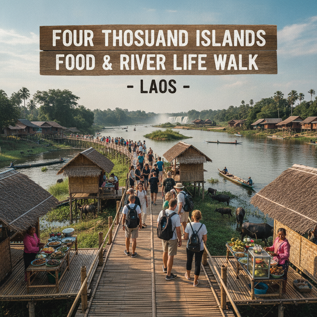
Four Thousand Islands Laos-Cambodia Border Walk
Reach the southern limit of Laos — the Four Thousand Islands are the southernmost accessible destination in Laos before the river crosses into Cambodia, and the border crossing environment, the Cambodian-side Stung Treng, and the sense of geographical finality create the most frontier-adjacent experience in the Lao tourist circuit.
- 1
Don Det Southern Crossing
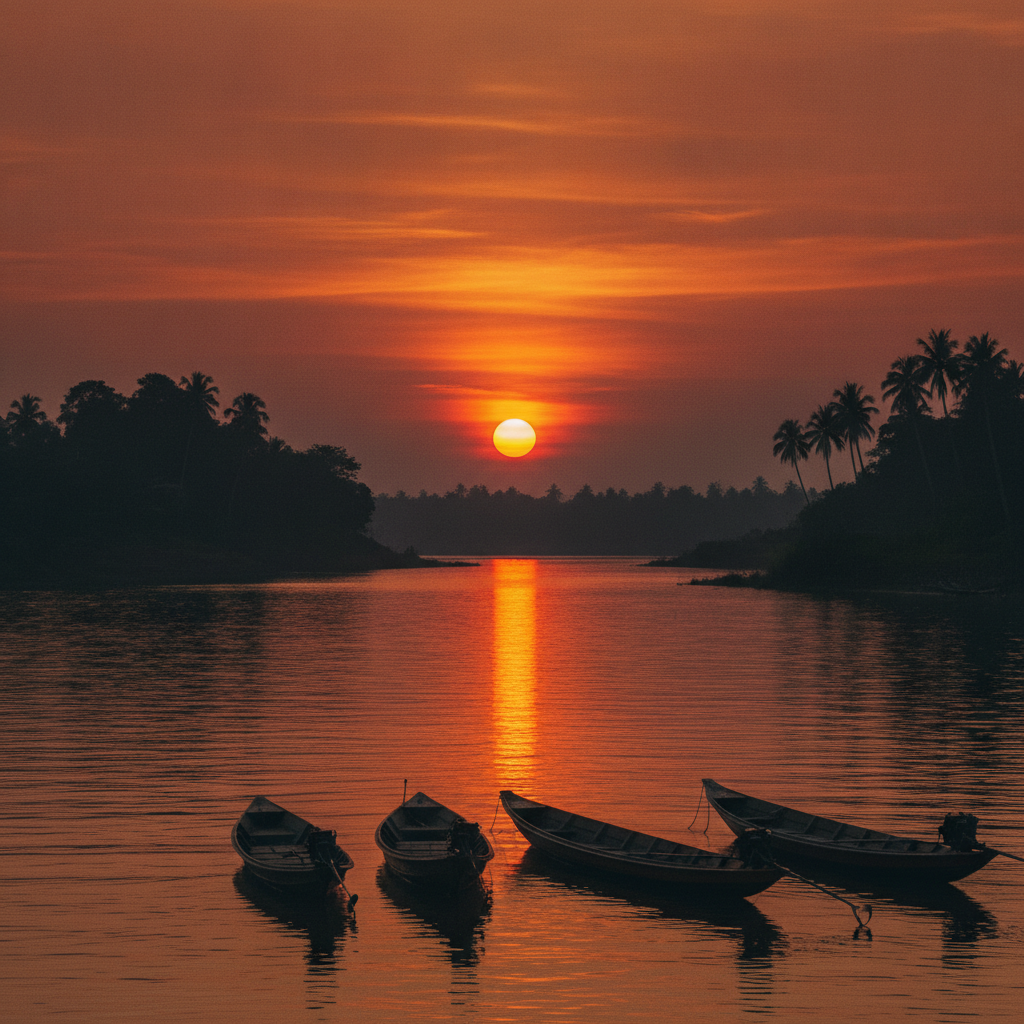
The boat service from the Don Det pier to the Cambodian border crossing point at the end of the Si Phan Don archipelago (the local boat that carries the border crossers from the island cluster south through the Mekong channels to the official border point) is the most dramatically positioned international border crossing in Southeast Asia — the Mekong River at the Lao-Cambodian border (the river flowing from the thousands of islands of Si Phan Don into the broader, calmer Cambodian section of the Mekong that will eventually fan into the Tonle Sap lake and the Mekong delta) is the most geographically significant single river crossing point accessible on the entire Southeast Asian backpacker circuit. The border crossing (the Lao exit stamp at the Lao immigration post, the boat journey across the border zone, and the Cambodian entry stamp at the Cambodian immigration post) transitions the traveller between the two most relaxed countries in mainland Southeast Asia.
- 2
Stung Treng Cambodia
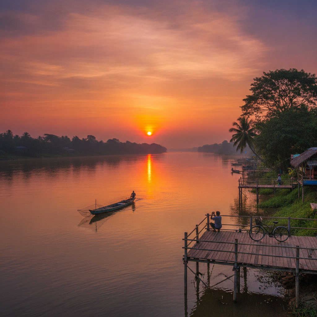
Stung Treng (the first Cambodian town accessible from the Si Phan Don border crossing, 40km south of the border on the Cambodian section of the Mekong) is the most rarely visited provincial capital in Cambodia — the town's character as a transit point (the travellers arriving from Laos continue almost immediately south toward Kratie and Phnom Penh, making Stung Treng a one-night stop at most in the typical itinerary) has preserved it as the least touristified town in the Cambodian Mekong corridor. The Stung Treng waterfront (the Mekong and the San River visible at their confluence near the town centre) and the boat tours to the Ramsar wetland (the internationally recognised wetland habitat in the Stung Treng province) provide the most ecologically significant natural environment accessible from the first Cambodian town after the Lao border.
- 3
Geographical Finality Don Det
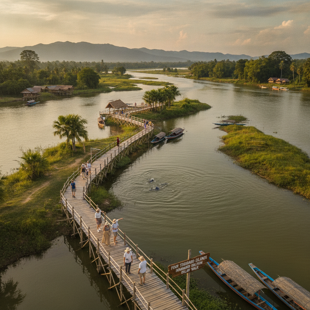
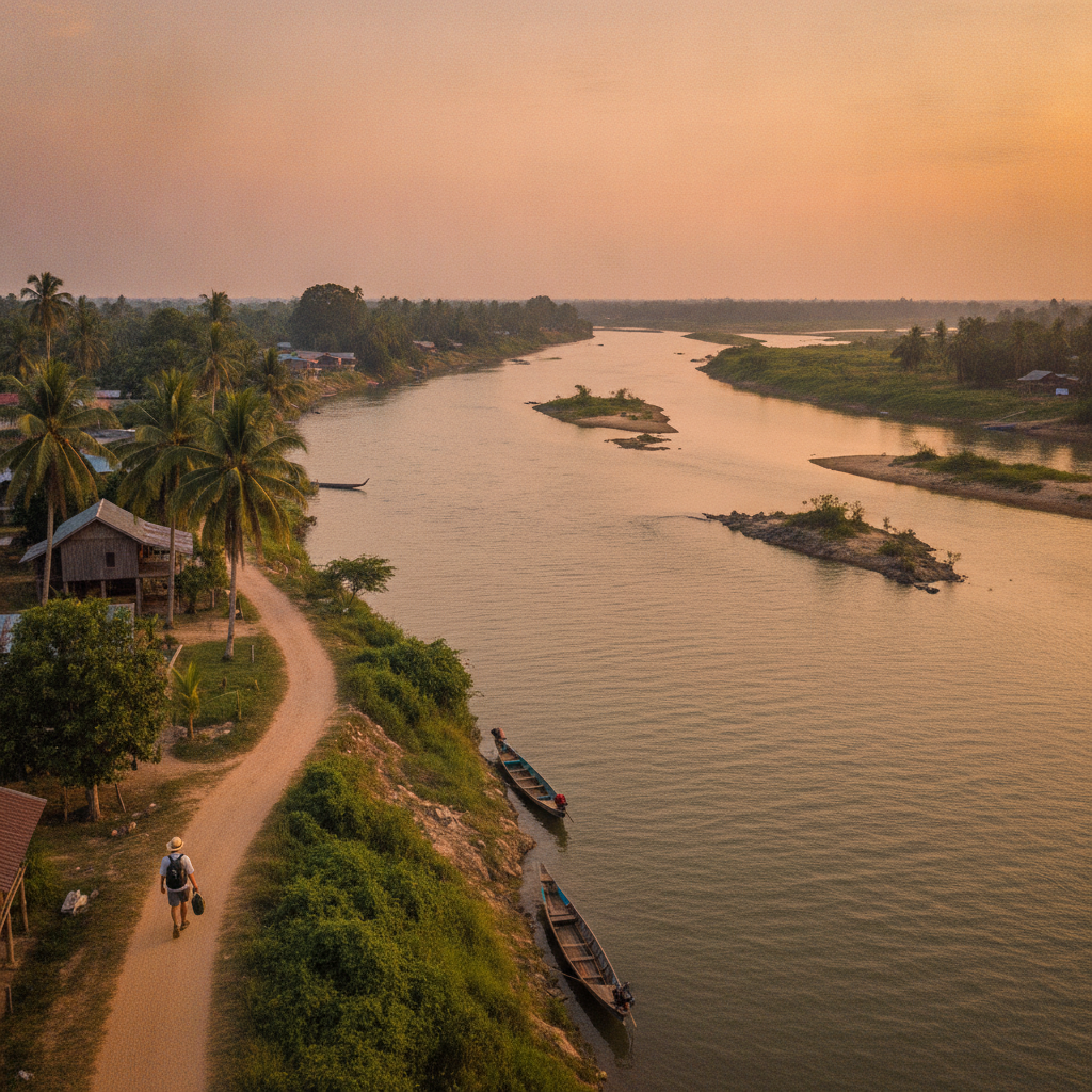
The perspective from the southernmost accessible point of the Don Det island circuit (the furthest southern point reachable on the island's cycling or walking path before the channel between Don Det and the adjacent islands becomes too wide to cross on foot) provides the most directly felt geographical finality accessible in the Si Phan Don tourist experience — the view south from this point (the Mekong channels extending downstream toward Cambodia, with no more accessible islands between this point and the border, and the sense of the river system flowing away from Laos and into the broader Cambodian plain) is the most immediately spatial expression of the traveller's position at the geographical extremity of the country. The southernmost island viewpoint's dual function (the most southern accessible point in Laos's tourist infrastructure AND the wildlife observation spot for the river species moving between the Lao and Cambodian sections of the river) makes it the most geographically and ecologically significant single viewpoint in Si Phan Don.
- 4
Mekong River Kilometre Zero
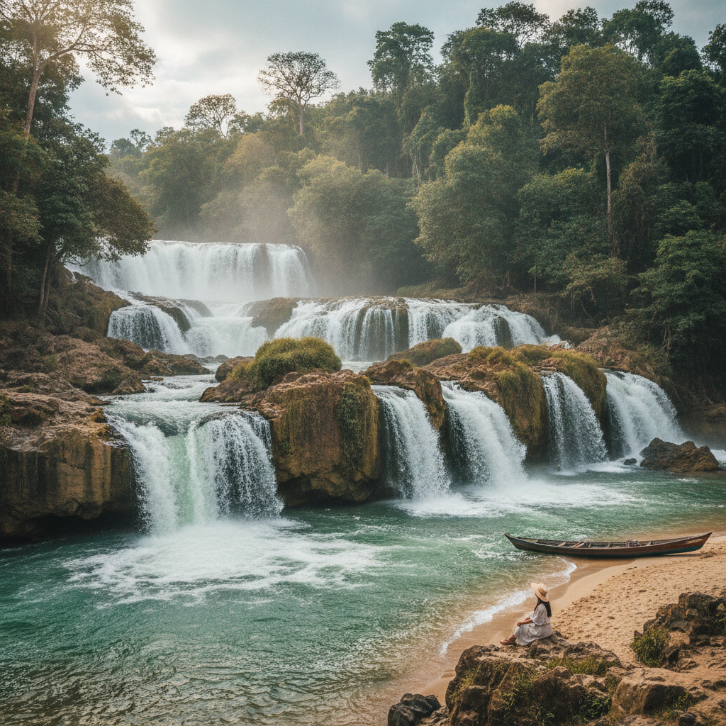
The Khon Falls marks the point where the commercial navigation of the Mekong (the boats carrying trade goods between the Vietnamese river mouth and the Cambodian, Lao, and Thai hinterlands) was halted by the natural barrier of the falls — the French colonial project of the Si Phan Don railway (the bypass railway around the falls, whose remains are visible on Don Det and Don Khon) was the attempt to extend navigable commerce past this point, making Khon Phapheng the most commercially significant single waterfall in the history of Southeast Asian trade. The falls' position as the last obstacle before the Mekong's generally navigable Cambodian section (the river from Stung Treng south to the Vietnamese delta being navigable for commercial craft of various sizes) makes it the commercial gateway between the landlocked Lao interior and the maritime trade networks of the lower Mekong.
- 5
Border Zone Wildlife
The Lao-Cambodian border zone at Si Phan Don (the section of the Mekong between the southernmost Lao islands and the first Cambodian territory, including the Hou Sahong deep pool where the Irrawaddy dolphins are concentrated) is the most biodiversity-significant single river section accessible in the tourist area — the border zone's relative inaccessibility (the immigration control that limits free movement in the zone and the restricted access to certain areas near the official border point) has inadvertently created a buffer zone that provides additional protection for the wildlife (particularly the Irrawaddy dolphins) that use the deep pools of the border section. The border zone's ecological function as the connecting habitat between the Lao and Cambodian sections of the Irrawaddy dolphin's range (the Cambodian population in the Mekong between Kratie and the Lao border being the largest remaining Irrawaddy dolphin population, estimated at 80-100 individuals) makes it the most critical single river section for the species' survival.
- 6
Slow Boat to Pakse
The slow boat journey north from Si Phan Don to Pakse (the Lao provincial capital 130km north of the Four Thousand Islands, accessible by the Mekong passenger boat service that operates the upstream journey in 5-6 hours) provides the most atmospheric river transit departure from the Four Thousand Islands — the boat journey upstream (the Mekong narrowing as the boat travels north from the broad braided channels of Si Phan Don to the more confined river of the Champassak and Savannakhet provinces) traces the geographical transition from the archipelago landscape to the more conventional river valley of the northern Lao Mekong. The Pakse boat arrival (the provincial capital's waterfront visible from the approaching boat, with the French colonial Champassak district buildings and the modern Pakse commercial riverfront creating the first urban arrival after the island isolation) provides the most dramatic urban reentry available after the Si Phan Don experience.
Walk this route with audio
Stories play automatically as you reach each stop — no tapping needed.