Climbing El Misti: The Volcano Above Arequipa
El Misti — the 5,822m active volcano that defines Arequipa's skyline — is one of the world's most climbed high-altitude volcanoes; the 2-day guided ascent from base camp to the sulphurous crater offers extraordinary views over the Atacama desert and the Andean chain
- 1
Two day ascent
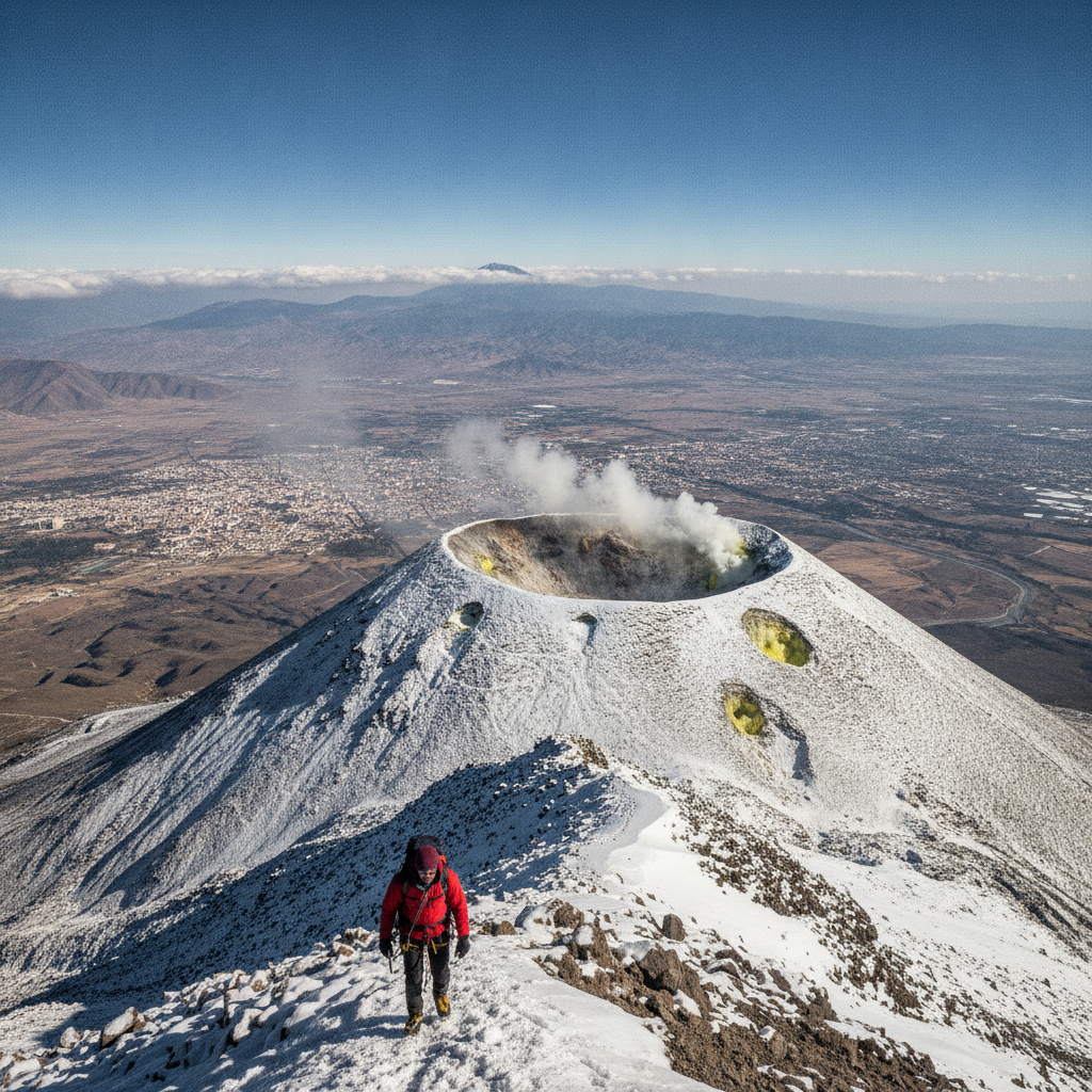
The standard ascent to El Misti is a 2-day ascent — camp at 4,600m base camp after the first day's approach, then summit stop starting at midnight to reach the crater at sunrise; the total elevation gain is 3,500 m; acclimatization in Arequipa (2,335 m) is essential before attempting the summit
- 2
Summit Crater
El Misti crater - 1 km in diameter - has sulfur fumaroles, volcanic gases and remnants of ancient lava; the interior of the crater is an active volcanic environment; the edge provides a 360° view of the Atacama Desert, the Andean chain and the city 3,500m below
- 3
Misti in Inca History
El Misti was sacred to the Incas - "Putina" (the mountain of fire); the Incas used the summit for human sacrifice (capacocha); frozen mummies of Inca children have been found on Andean volcanic summits (most famously on the Ampato volcano near Arequipa); the summit's spiritual significance preceded mountain climbing
- 4
Chachani Ascent
Chachani (6,057m) - Misti's neighbor - considered one of the world's easiest peaks at 6,000m at best; the non-technical climb through high altitude desert landscape is available to suit acclimatized hikers with no mountaineering experience; the view from the summit is outstanding
- 5
Ampato and Juanita
Ampato Volcano – adjacent to Misti – was the site of the discovery of "Juanita", a perfectly preserved Inca mummy of a young girl; the discovery (1995) is one of the most famous archaeological finds in America; Juanita show in Arequipa's Santuarios Andinos Museum
- 6
El Misti Ash and Arequipa Risk
El Misti last erupted in 1948 and the geological record shows major eruptions every few centuries; the city of Arequipa – with 1 million people – is directly in the volcano's potential risk zone; the monitoring program and contingency planning is an ongoing problem for the region's geologists
Walk this route with audio
Stories play automatically as you reach each stop — no tapping needed.
More in Arequipa
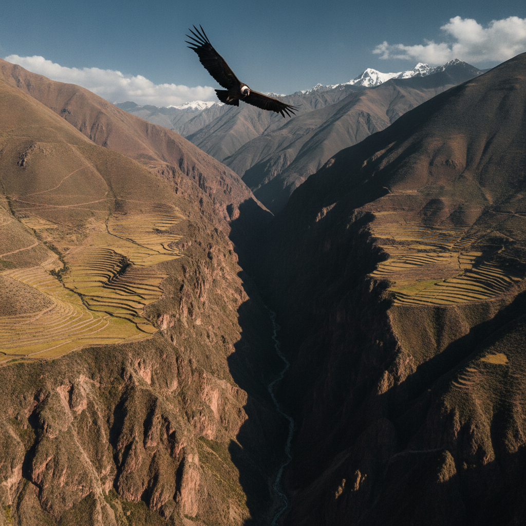
Colca Canyon: Condors Above the World's Deepest Gorge
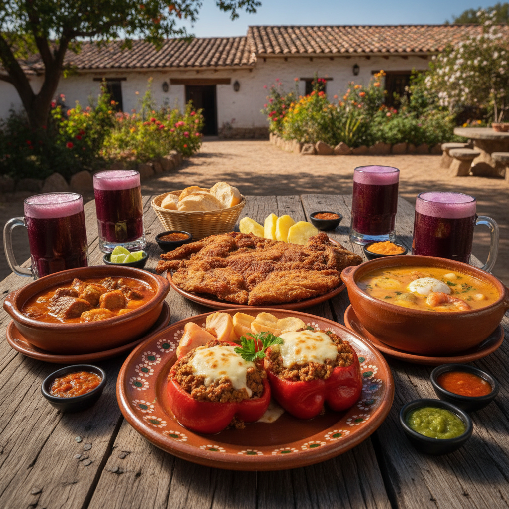
Arequipa Cuisine: Peru's Second Capital of Gastronomy
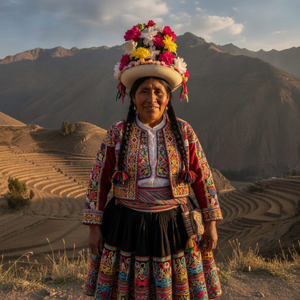
Collagua Textiles: The Living Art of the Colca Valley
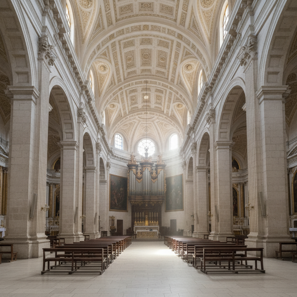
Arequipa's Mestizo Baroque: Churches of Sillar Stone
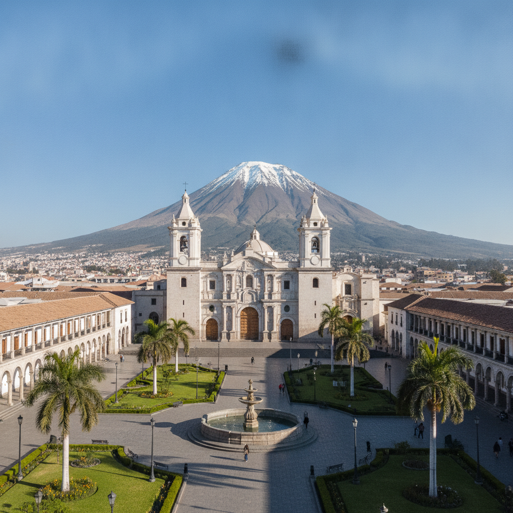
Arequipa: Peru's White City Under Three Volcanoes