Nukus Amu Darya River Delta Wetlands
Explore the Amu Darya river delta around Nukus — the lower course of the ancient Oxus River as it splits into multiple channels crossing the flat Karakalpak steppe toward the dying Aral Sea, the remaining wetlands and lakes of the delta that support significant birdlife despite the massive reduction in water flow caused by Soviet irrigation diversions.
- 1
Amu Darya Riverbank Nukus
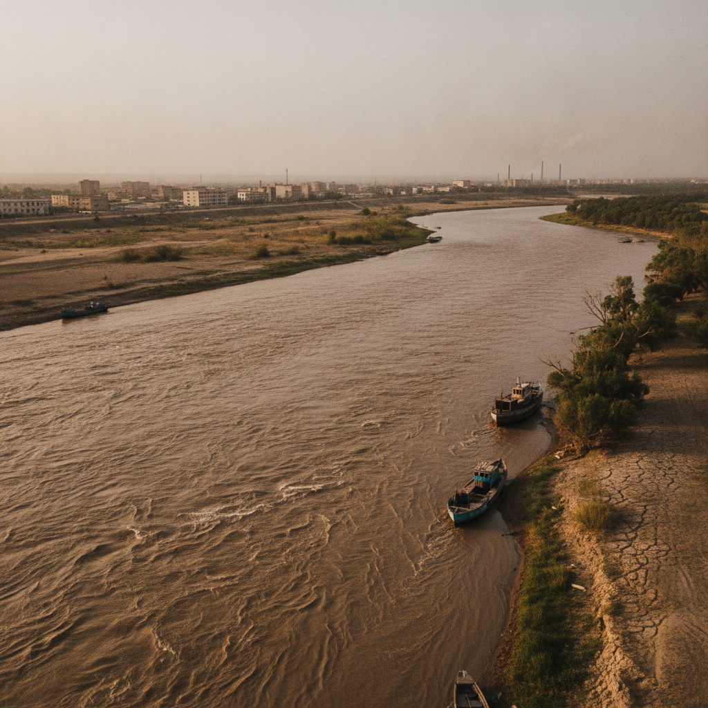
The Amu Darya riverbank at Nukus — the ancient Oxus of classical geography, one of the two great rivers of Central Asia, the turbid brown water carrying the silt of the Hindu Kush and Pamir mountains across the desert to the dying Aral Sea, the river that sustained the Khorezm civilization and has been the lifeblood of the Karakalpak people for centuries.
- 2
Delta Wetland Reed Beds
The delta wetland reed beds of the lower Amu Darya — the extensive Phragmites reed marshes that support breeding populations of waterfowl and wading birds despite the massive reduction in delta flooding, the reed beds used by local communities for thatching and basket weaving, the wetland habitat providing refuge for wildlife in an increasingly arid landscape.
- 3
Migratory Bird Watching
Migratory bird watching at the delta lakes near Nukus — the remaining lakes of the former Aral Sea delta serving as staging points for waterfowl on the Central Asian Flyway, the flamingos, pelicans, egrets, and waders visible during migration seasons, the birding site of international significance despite the massive ecological damage of the Aral Sea disaster.
- 4
Traditional Fishing Communities
The traditional fishing communities of the Amu Darya delta — the Karakalpak villages along the remaining river channels and lakes where fishing has continued despite the collapse of the Aral Sea fishery, the small-scale fishing for carp and catfish in the delta waters providing subsistence for the communities that have remained in the depopulated delta region.
- 5
Irrigation Canal System
The irrigation canal system of the lower Amu Darya visible from Nukus — the network of main canals and distribution channels that divert water from the river to the cotton and rice fields of Karakalpakstan, the same irrigation system that has depleted the Aral Sea by taking 90% of the river's flow for agriculture, the diversion infrastructure stretching for hundreds of kilometers across the flat steppe.
- 6
Sunset Delta Landscape
The sunset over the Amu Darya delta landscape from Nukus — the vast flat horizon of the Karakalpak steppe turning gold and red in the desert sunset, the river gleaming in the low light, the reed beds and water channels catching the color of the sky, the melancholy beauty of a landscape that has been dramatically altered by human intervention but retains its desert grandeur.
Walk this route with audio
Stories play automatically as you reach each stop — no tapping needed.