Larapinta Trail Section Walk
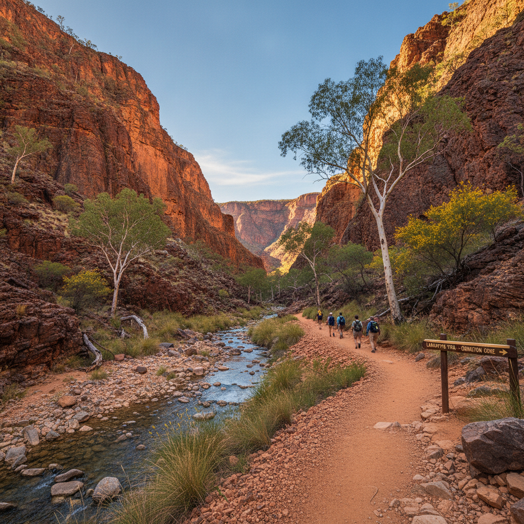
Walk a section of the Larapinta Trail — one of Australia's great long-distance walks, 223 km through the West MacDonnell Ranges — for a day hike on one of the most beautiful desert mountain tracks in the world.
- 1
Larapinta Trail Start — Alice Springs Telegraph Station
The Larapinta Trail begins at the Alice Springs Telegraph Station — the historic building marks the eastern end of the 223-km walk that traverses the ancient MacDonnell Ranges to Mount Sonder in the west.
- 2
Section 4: Standley Chasm to Birthday Waterhole
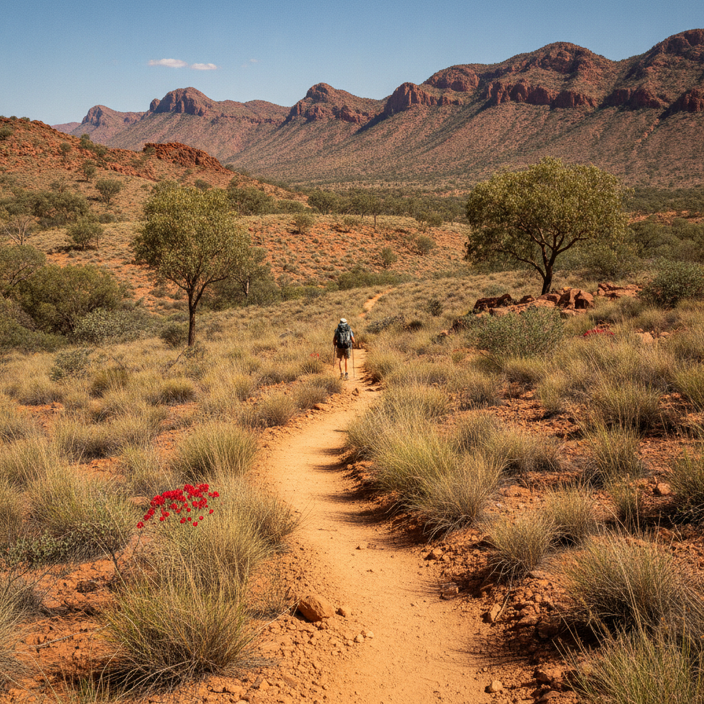
Section 4 between Standley Chasm and Birthday Waterhole is considered the most beautiful day section — the track crosses rocky ridgelines with panoramic views and descends to a permanent waterhole at the end of the day.
- 3
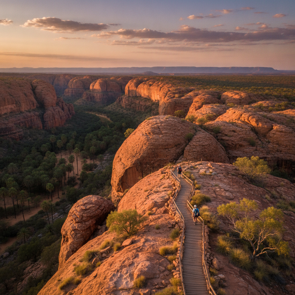
Ridgeline Walk View
Walking the quartzite ridgeline above the MacDonnell valleys gives a complete picture of the range — the ancient folded mountains, red valleys, and occasional flashes of silver from permanent waterholes below compose a desert palette.
- 4
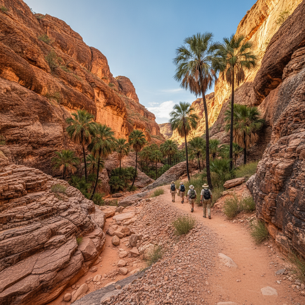
Inarlanga Pass
Inarlanga Pass cuts through the range at an ancient gap used by Aboriginal people for thousands of years — the pass gives access to the southern side of the ranges and a completely different landscape of mulga woodland.
- 5
Mount Sonder Summit
Mount Sonder at 1,380 metres is the highest accessible peak in the Territory — the dawn walk to the summit for sunrise is one of the most sought-after experiences on the Larapinta Trail, with views extending hundreds of kilometres.
- 6
Glen Helen Trail End
Glen Helen Resort marks the western terminus accessible to day walkers — the gorge and waterhole here provide a dramatic end point, and shuttle services return walkers to Alice Springs through the ranges.
Walk this route with audio
Stories play automatically as you reach each stop — no tapping needed.