 Bolivia
Salar De Uyuni
Discover routes, attractions, and guides in Salar De Uyuni.
8 routes
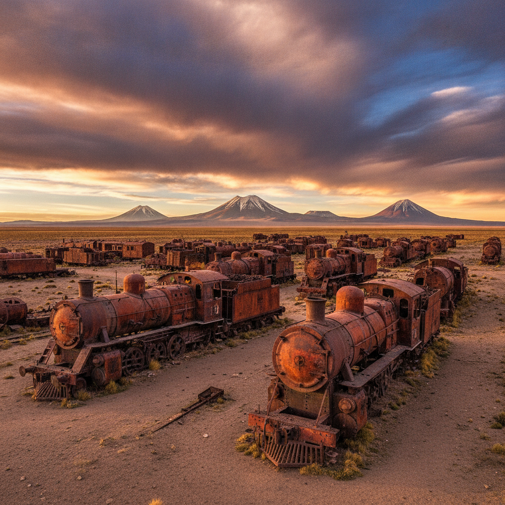
Salar de Uyuni History: Pre-Columbian Peoples, Colonial Routes, and Bolivian Independence
The Salar de Uyuni and the surrounding southwestern Bolivian altiplano have been inhabited and traversed by human populations for at least 12,000 years, with evidence of hunter-gatherer camps around the prehistoric lake shores that preceded the modern salt flat. The region was part of the Tiwanaku cultural sphere from approximately 400 to 1000 CE and subsequently absorbed into the Inca empire that used the altiplano roads, the qhapaq nan, to connect the silver and copper mining regions to the administrative centers of Cusco and Quito. The Spanish colonial economy transformed the altiplano into a labor extraction zone serving the Potosi silver mines, with devastating population consequences for the indigenous communities. Bolivian independence in 1825 brought new political structures but perpetuated many of the economic patterns that continue to shape the region.
Salar de Uyuni Practical Guide: Getting There, Tour Types, Packing, and Safety
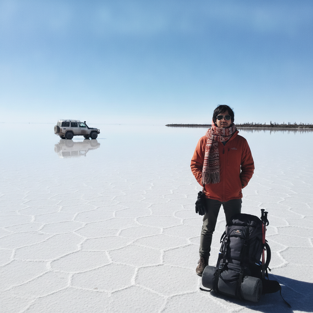
Reaching the Salar de Uyuni requires either an overnight bus from La Paz taking approximately ten hours on a road that climbs over the altiplano, or a short domestic flight to Uyuni airport on BoA or Amaszonas airlines from La Paz or Sucre. The town of Uyuni is the undisputed hub for all salt flat and Eduardo Avaroa Reserve tours, with dozens of competing agencies offering similar products at similar prices; the main differentiator is vehicle quality and guide experience. Cold temperatures, high UV radiation, and the disorienting featurelessness of the salt flat require specific preparation. The border crossing to Chile at the end of the three-day tour is popular but requires advance planning for transport and visa arrangements.
Wildlife of the Bolivian Salt Flat Region: Vicunas, Viscachas, and Desert Adaptations
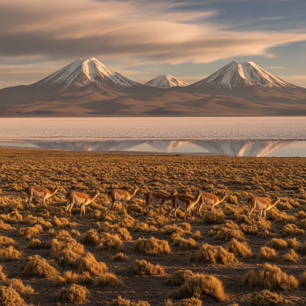
The seemingly barren landscape of the Bolivian altiplano around the Salar de Uyuni supports a surprisingly rich fauna adapted to extreme altitude, cold, drought, and the mineral-rich but nutrient-poor environment. The vicuna, the smallest and most elegant of the four South American camelids, grazes the dry grasslands of the altiplano in family groups and was hunted to near-extinction before international protection in the 1960s allowed a recovery to over 300,000 animals. The viscacha, a long-tailed rabbit-like rodent related to the chinchilla, inhabits rocky outcrops throughout the altiplano and Eduardo Avaroa Reserve and is among the most photographed mammals of the region. The three flamingo species of the colored lagoons represent the most spectacular wildlife concentration in the region, but the altiplano also hosts Andean condors, puna hawks, and dozens of other bird species adapted to the high-altitude environment.

Stargazing at the Salar de Uyuni: One of the Best Night Skies on Earth
The Salar de Uyuni combines several factors that make it one of the premier stargazing destinations in the world: altitude at 3,656 meters reduces atmospheric interference, the extreme aridity of the southwestern Bolivian altiplano minimizes cloud cover for most of the year, the complete absence of light pollution across hundreds of kilometers of uninhabited salt flat and puna, and the reflective white surface of the salt that in the dry season appears to merge the sky above with the ground below, creating the sensation of floating in stars. The Milky Way rises directly over the flat with a clarity rarely seen outside of high-altitude observatories. The salt flat is additionally one of the few places where the southern Milky Way core, the Large and Small Magellanic Clouds, and the full southern celestial sphere are visible together without horizon obstruction.
Uyuni Tour Logistics: Jeep Tours, Seasons, and the Three-Day Itinerary
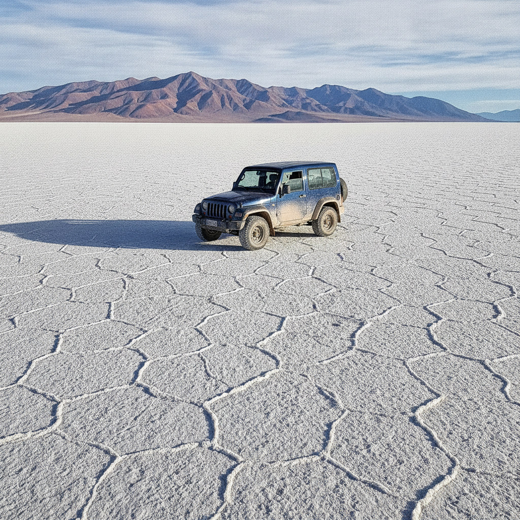
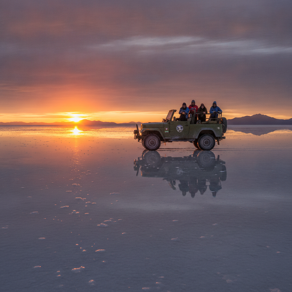
The vast majority of visitors to the Salar de Uyuni travel on organized jeep tours departing from the town of Uyuni, sharing a 4x4 vehicle with up to five other travelers and a local driver-guide who navigates the unmarked salt flat and the gravel tracks of the Eduardo Avaroa Reserve. The one-day tour covers the salt flat itself; the two or three day tour extends south through the reserve to the colored lagoons, geysers, and the Chilean border, with overnight stops in basic hostels or salt hotels. The wet season from November to March offers the mirror reflection but makes roads in the reserve muddy and occasionally impassable; the dry season from April to October gives reliable access and clear skies with the characteristic white salt surface and no reflection. Sunrise and sunset on the salt flat in any season are among the most dramatic natural light events possible to witness.
Geology of the Bolivian Altiplano: Volcanoes, Minerals, and the Andean Plateau
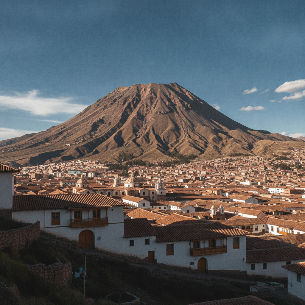
The southwestern Bolivian altiplano where the Salar de Uyuni sits is one of the most geologically active and mineralogically rich regions on Earth. The plateau itself formed by the uplift of the Andes as the Nazca tectonic plate subducts under the South American plate, a process that has raised the entire region from sea level to over 3,500 meters over the past 25 million years. The subduction process drives active volcanism along the volcanic arc that forms the Bolivian-Chilean border, with dozens of peaks above 5,000 meters including several that have erupted in historical times. The mineral wealth of the region is extraordinary: silver at Potosi, tin and zinc throughout the altiplano, sulfur from the volcanic fumaroles, and the lithium brines beneath the Salar itself represent multiple overlapping resource categories that have shaped Bolivian economic history.
Salar de Uyuni: The Worlds Largest Salt Flat and Its Volcanic Altiplano Landscape
The Salar de Uyuni covers approximately 10,582 square kilometers of the Bolivian altiplano at 3,656 meters altitude, making it by far the largest salt flat in the world and one of the most visually extraordinary landscapes on Earth. The flat formed when a series of prehistoric lakes evaporated, leaving behind a crust of salt and minerals that in the wet season becomes a thin mirror of reflective water and in the dry season reveals its pure white crystalline surface stretching to a horizon that appears to curve with the Earth. The salt flat sits above the worlds largest known lithium reserve, an economic reality that shapes Bolivian national politics. The surrounding region extends into the Eduardo Avaroa Andean Fauna Reserve, which contains high-altitude lagoons in improbable shades of red and green, active geysers, hot springs, and the volcanic peaks of the Bolivian-Chilean border.
Oruro Carnival and the Bolivian Altiplano Festival Calendar
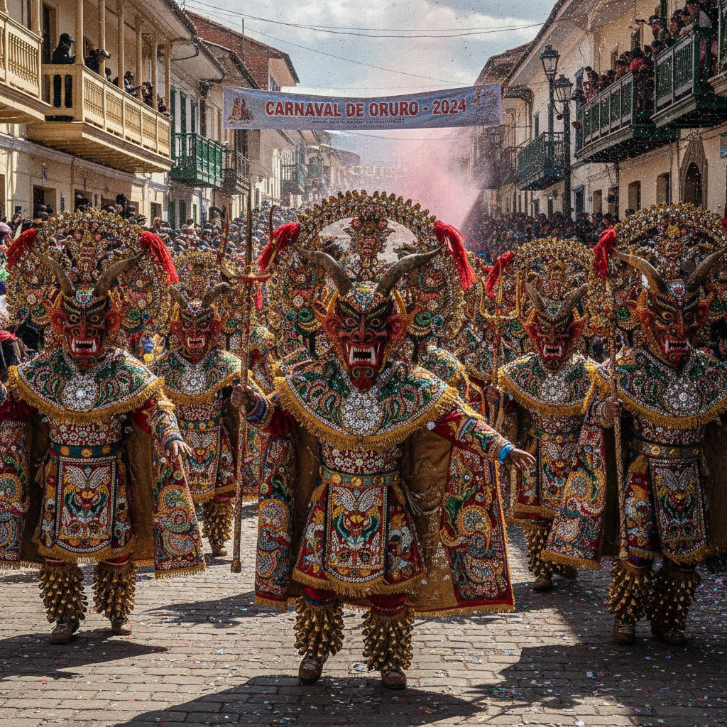
The Oruro Carnival, held annually in the city of Oruro approximately 200 kilometers north of Uyuni on the altiplano, is recognized by UNESCO as an Intangible Cultural Heritage of Humanity and is the most spectacular festival in Bolivia, drawing hundreds of thousands of visitors for its Diablada devil dance processions, elaborate costumes, and multi-day street celebrations. The festival has pre-Hispanic indigenous roots that were overlaid with Catholic imagery after the Spanish conquest, creating a syncretic celebration in which the devil dancers represent evil defeated by the Virgin of Candelaria. The altiplano calendar extends beyond Oruro to include the Tinku ritual combat festival in Potosi department, the Alasitas miniature fair cycle, and the harvest and planting ceremonies that structure agricultural life throughout the highland year.