

Ziplining, ATV Tours, and the Adventure Activity Economy of La Fortuna
La Fortuna operates as the adventure activity capital of Costa Rica, with a denser concentration of tour operators and activity options per square kilometer than anywhere else in the country. The combination of the volcano, rainforest, rivers, and caves within an hour of town has enabled the creation of a full-service adventure tourism ecosystem. This route maps the activity landscape from the high-adrenaline options like canyon rappelling and white-water kayaking to the more accessible family activities like the hanging bridges and night wildlife walks.
Arenal Lake, Windsurfing, and the Tilaran Highlands Connection
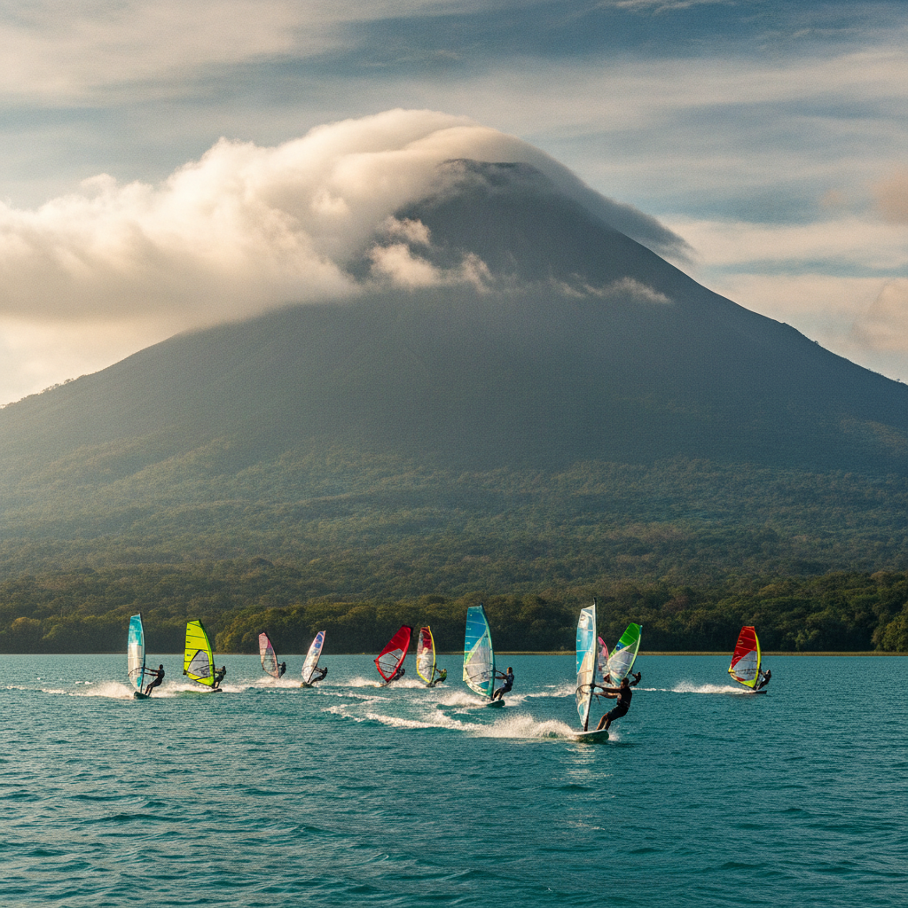
Lake Arenal, the largest lake in Costa Rica, was created in 1979 by the damming of the Arenal River for the La Garita hydroelectric complex that generates approximately 70 percent of Costa Rican electricity during normal rainfall years. The lake's geography and the funneling of Pacific trade winds through the Tilaran gap has made Arenal Lake one of the premier windsurfing and kitesurfing destinations in the world. The town of Nuevo Arenal on the western shore and the Tilaran highlands beyond form a different landscape from the volcanic tourism zone around La Fortuna.
Sarapiqui Lowlands: Rainforest, Rivers, and the Caribbean Slope from La Fortuna
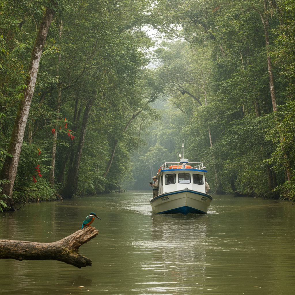
The northern lowlands stretching from the Arenal foothills to the Caribbean coast form one of the most biologically rich and least-visited landscapes in Costa Rica. The Sarapiqui river basin, accessed from La Fortuna over the Volcan Arenal and through the highland passes, drops through cloud forest into lowland rainforest before reaching the Caribbean lowland mosaic of pineapple plantations, secondary forest, and protected river corridors. La Selva Biological Station, one of the most studied tropical forest sites in the world, anchors the scientific research infrastructure of the zone.
Volcanism, Geology, and the Tectonic Story of Arenal and Northern Costa Rica
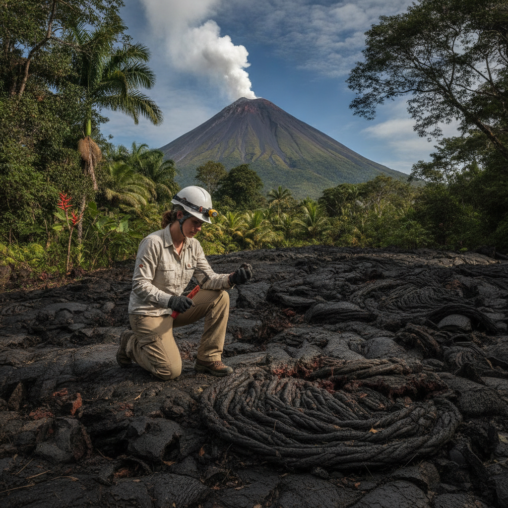
Costa Rica sits on one of the most tectonically active sections of the American continental margin, where the Cocos tectonic plate subducts beneath the Caribbean plate at a rate of approximately 8 centimeters per year. This subduction drives a chain of active volcanoes running through the country from the Guanacaste range in the northwest to the Turrialba volcano east of San Jose. Arenal is one node in this system. This route examines the geological processes that created the Arenal landscape, the history of the 1968 eruption, and the geothermal resources that have shaped both the economy and the ecology of the northern lowlands.
La Fortuna Practical Guide: Accommodation, Seasons, Costs, and Scams to Avoid
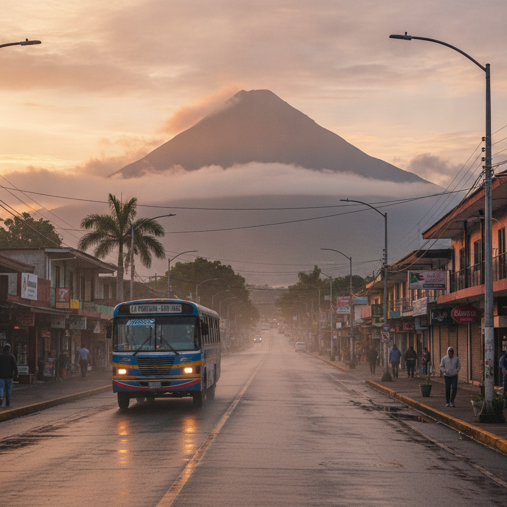
La Fortuna receives over 300,000 visitors annually and has developed a mature tourism infrastructure with a corresponding range of pricing and quality. The high competition between operators has produced both genuine value and a layer of misleading marketing and inflated pricing that catches first-time visitors off guard. This route provides the practical framework for visiting La Fortuna: where to stay, when to go, what things actually cost, how to book activities without overpaying, and which common tourist pitfalls to avoid.
La Fortuna: Arenal Volcano, Thermal Springs, and the Rainforest Adventure Hub
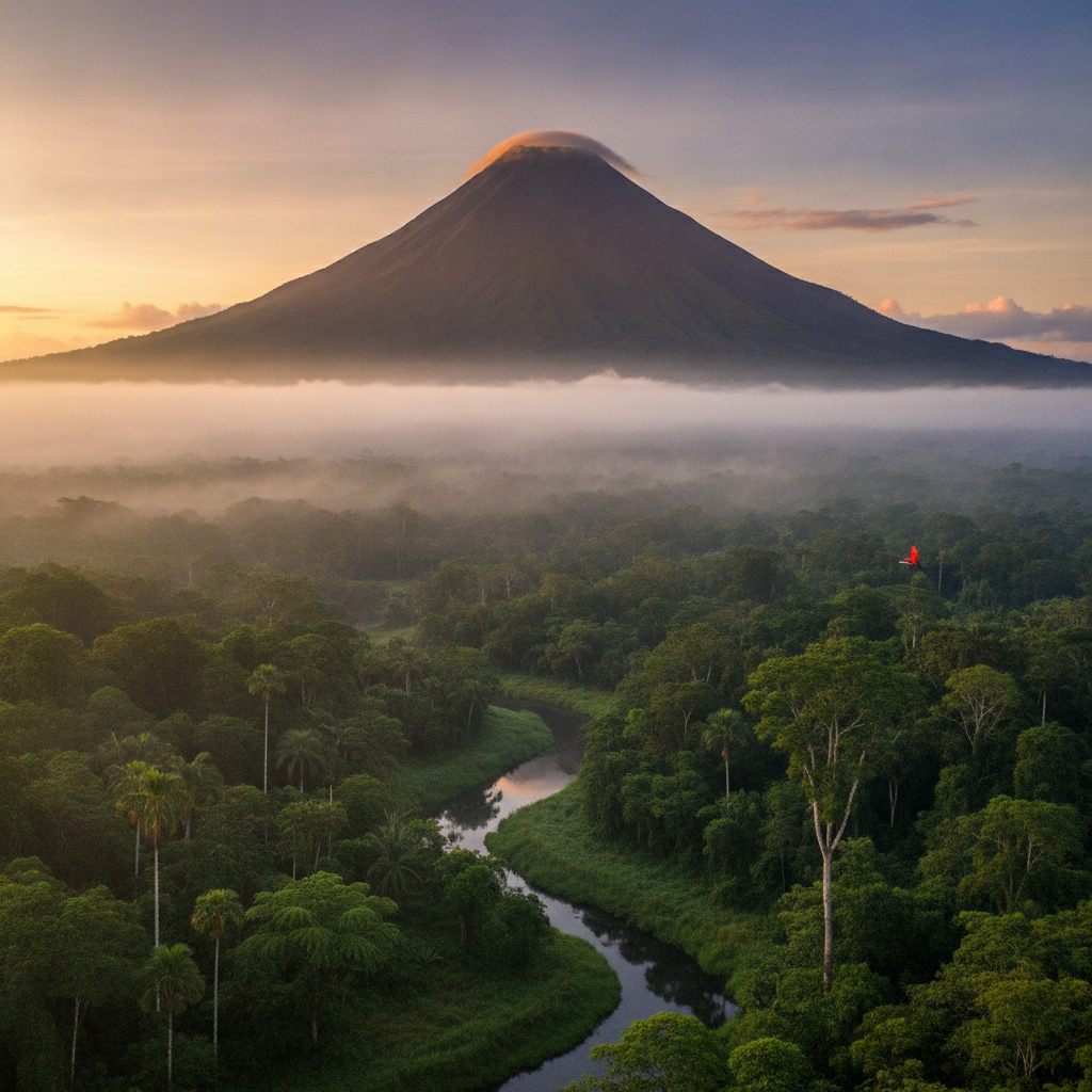
La Fortuna is the most popular adventure tourism destination in Costa Rica, built around the Arenal Volcano that was continuously active from 1968 to 2010. The town sits at the base of the volcano's western flank with the Arenal Lake, a reservoir created by the La Garita hydroelectric dam, visible to the south. The thermal spring system heated by residual geothermal activity, the Catarata del Toro and La Fortuna waterfalls, white-water rafting on the Toro and Sarapiqui rivers, and the hanging bridge canopy walks of the Arenal Volcano National Park make La Fortuna the single most activity-dense destination in Costa Rica.
Food, Nightlife, and the La Fortuna Town Experience
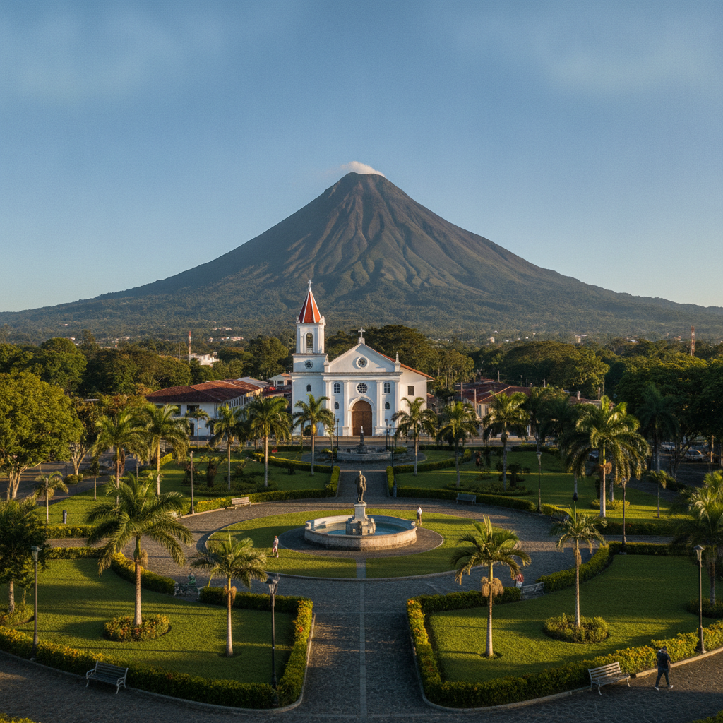
La Fortuna de San Carlos is a small agricultural town that has been transformed by two decades of heavy tourism into one of the most service-dense destinations in Costa Rica. The central park and surrounding streets contain the highest concentration of restaurants, tour operators, souvenir shops, and accommodation per capita of any Costa Rican town outside San Jose. This route covers the food landscape from traditional sodas serving the local farming community to the tourist restaurants that have emerged around the volcano experience, and examines the economic and social transformation of the town.
Wildlife of the Arenal Area: Sloths, Tapirs, Jaguars, and the Corridor
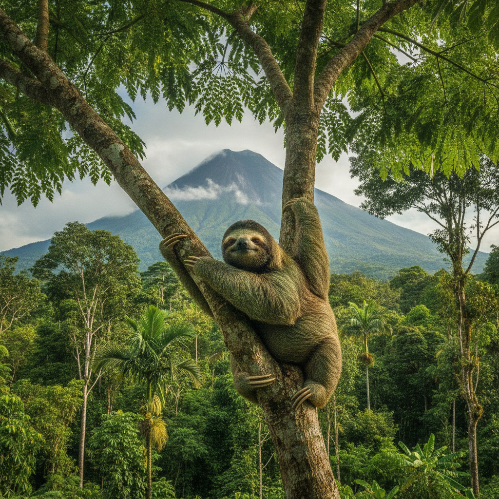
The Arenal Volcano National Park and surrounding private reserves form a critical node in the Mesoamerican Biological Corridor, the network of protected and semi-protected land intended to maintain wildlife movement between North and South America. The corridor through the northern highlands of Costa Rica connects the Pacific slope forests with the Caribbean lowland reserves and provides sufficient territory for species requiring large home ranges including tapirs, pumas, and jaguars. This route examines the specific wildlife of the Arenal area and the conservation challenges of maintaining corridor function in a heavily touristed landscape.