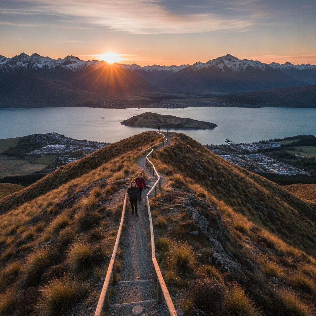
Mount Iron Summit Walk
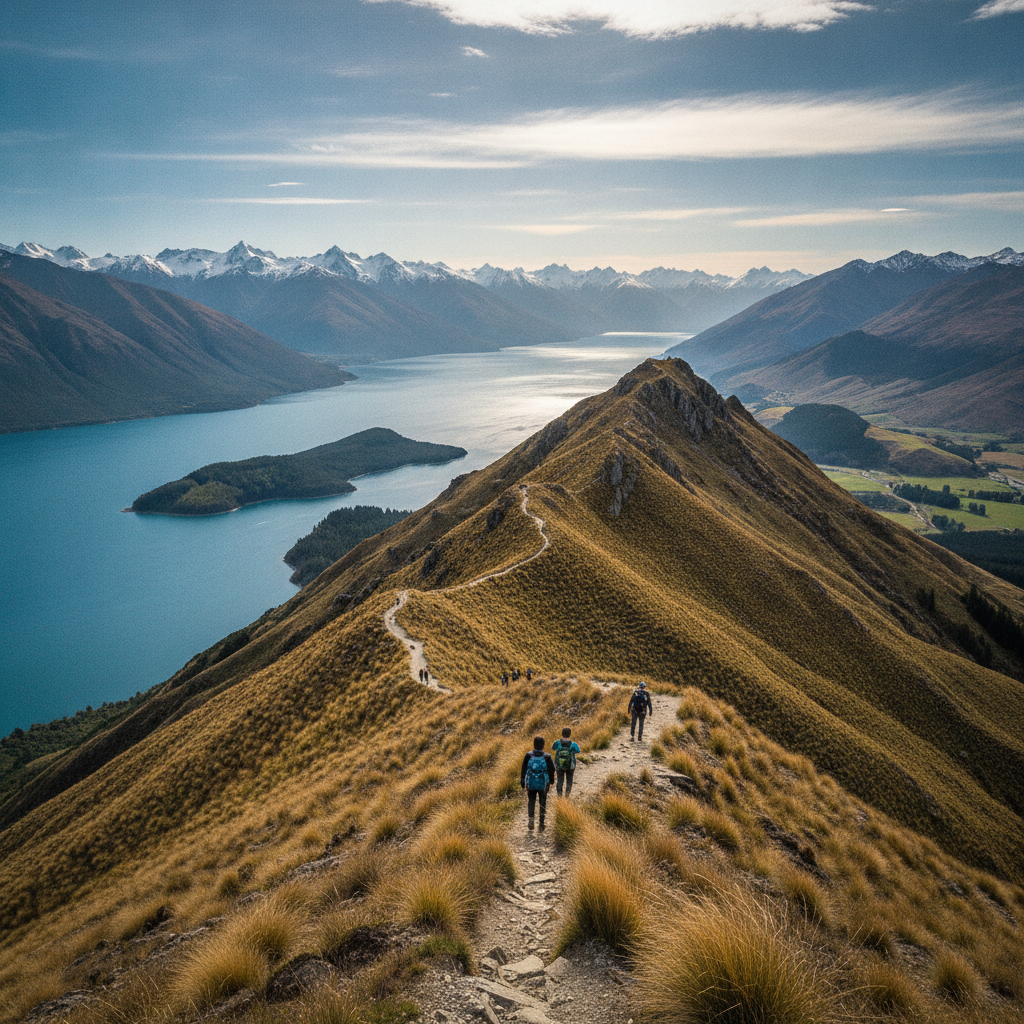
A short but rewarding climb up the distinctive roche moutonnée of Mount Iron — a glacially polished rock knob offering 360-degree views over both lakes and all four mountain ranges.
- 1
Mount Iron Reserve Entrance
Mount Iron sits just east of the town centre — the reserve entrance is marked with information about this unusual glacially shaped landform.
- 2
Roche Moutonnée Geology Display
Signs explain how glaciers shaped this smooth-sided, steep-one-end rock knob — the classic asymmetric form left when a glacier rode over and plucked rock from one face.
- 3
Native Bush Track
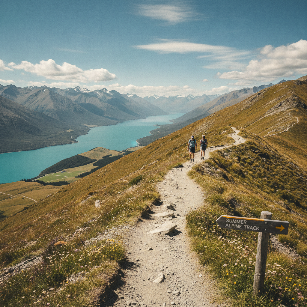
The track ascends through one of the few remaining patches of native Central Otago dryland bush — matagouri, mountain toatoa, and native grasses in a rare habitat.
- 4
Summit Plateau (548m)
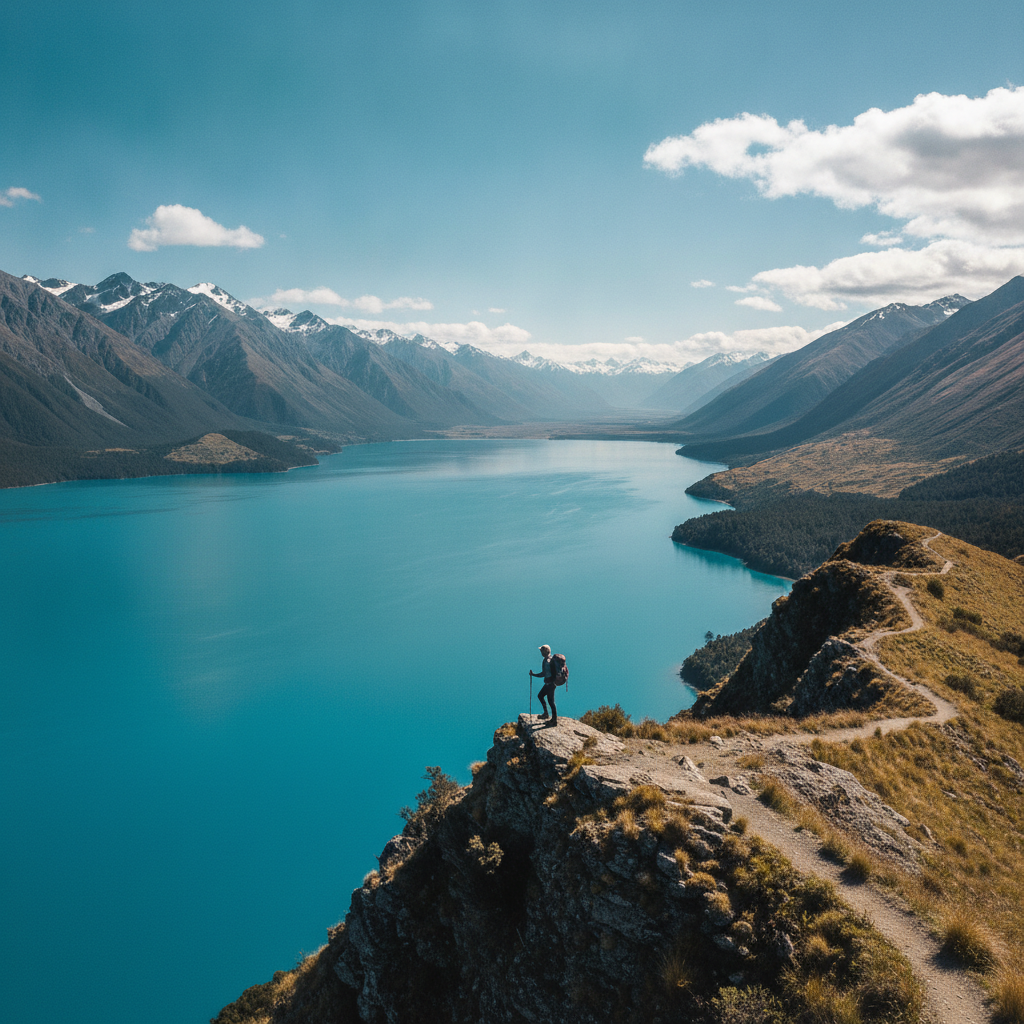
The summit plateau gives a sweeping 360-degree view — Lake Wānaka to the west, Lake Hāwea to the north, the Clutha Valley east, and Mount Aspiring's peak to the northwest.
- 5
Southern Alps Panorama
The entire skyline to the west is filled with the Southern Alps — from the Harris Mountains to the Matukituki peaks, with the triangular summit of Aspiring dominant.
- 6
Descending East Face
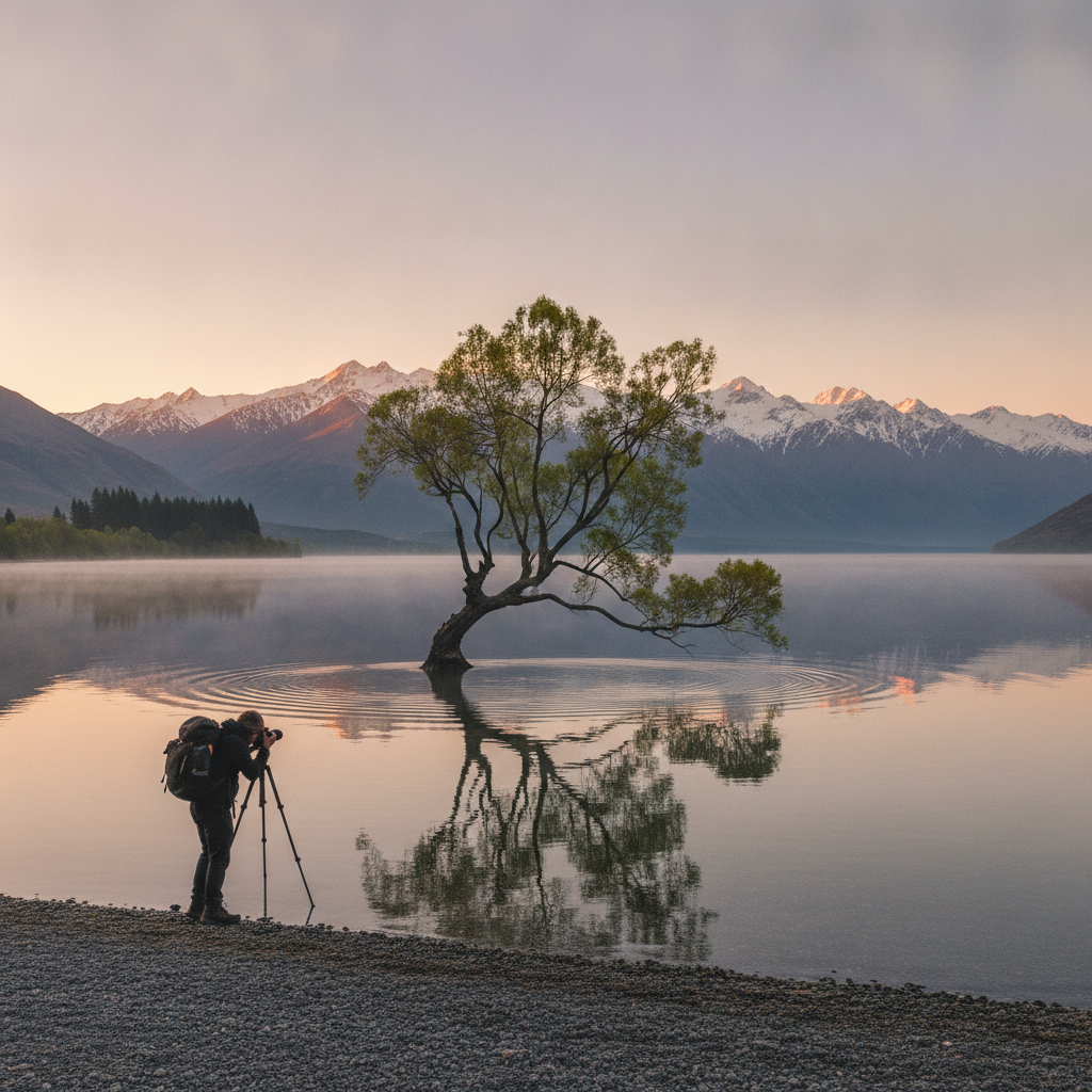
The steeper east descent faces Wānaka township and gives a bird's-eye view of the town grid, the lake, and the peninsula where 'That Wānaka Tree' stands in the water.
Walk this route with audio
Stories play automatically as you reach each stop — no tapping needed.