History of Playa del Carmen: From Mayan Port to Riviera Maya Megadestination
Playa del Carmen was a Mayan port called Xaman-Ha for centuries before Spanish contact. It remained a small fishing village throughout the colonial period and most of the twentieth century, transformed into a global resort destination only after the Mexican government created the Cancun tourism corridor in the 1970s and 1980s. This route traces that compressed transformation, from the Mayan sacred geography of the coast to the ejido land disputes that shaped modern development.
- 1
Xaman-Ha: The Mayan Sacred Port and Pilgrim Route
Before the Spanish arrival, the coast south of Cancun was part of a Mayan maritime trade and pilgrimage network. Xaman-Ha, meaning northern waters, was a stopping point for canoe travelers crossing to Cozumel, which was the major pilgrimage site dedicated to Ixchel, the goddess of medicine and the moon. The small Mayan ruins at Xcaret, fifteen kilometers south of the modern city center, and the platforms visible in what is now Playacar were staging points on this coastal route. The scale of pre-contact Mayan maritime commerce along this coast is still being mapped by archaeologists working at sites under and around resort infrastructure.
- 2
Colonial Period: Marginality and Caste War Legacy
The Spanish colonial presence on the Caribbean coast of the Yucatan was thin compared to the Pacific coast and the Gulf. The region was difficult to control, far from major colonial centers, and subject to pirate raids. The Caste War of Yucatan, which began in 1847 and effectively lasted until 1901, saw indigenous Mayan communities establish an independent polity called Chan Santa Cruz in the forests of what is now Quintana Roo. The Caribbean coast was effectively off-limits to non-Mayan Mexicans for decades, a history that shaped the region's late integration into the national economy.
- 3
Fonatur and the Creation of the Cancun Tourism Corridor
In 1969 the Mexican government's tourism development fund Fonatur selected the uninhabited barrier island of Cancun as the site for a planned resort city, based on computer modeling of climate, beach quality, and proximity to US markets. The development of Cancun required infrastructure extending south, and Playa del Carmen grew as a service hub for workers and as the ferry access point to Cozumel. The government investment in roads, electricity, and water infrastructure transformed the entire coast from a remote backwater into accessible territory for development.
- 4
Ejido Land, Tourism Development, and the Legal History of Dispossession
The land now occupied by hotels, beach clubs, and gated communities in Playa del Carmen was largely ejido land, communally held by local communities under the post-revolutionary land reform system. Constitutional changes in 1992 under President Salinas allowed ejido land to be privatized and sold, opening the Riviera Maya to large-scale resort development. The process of converting communal land to private resort infrastructure has been documented by researchers as one of the most rapid and extensive displacements of communal land tenure in Mexican history, with Quintana Roo as the primary case study.
- 5
The 1990s Boom: Backpacker Hub to International Destination
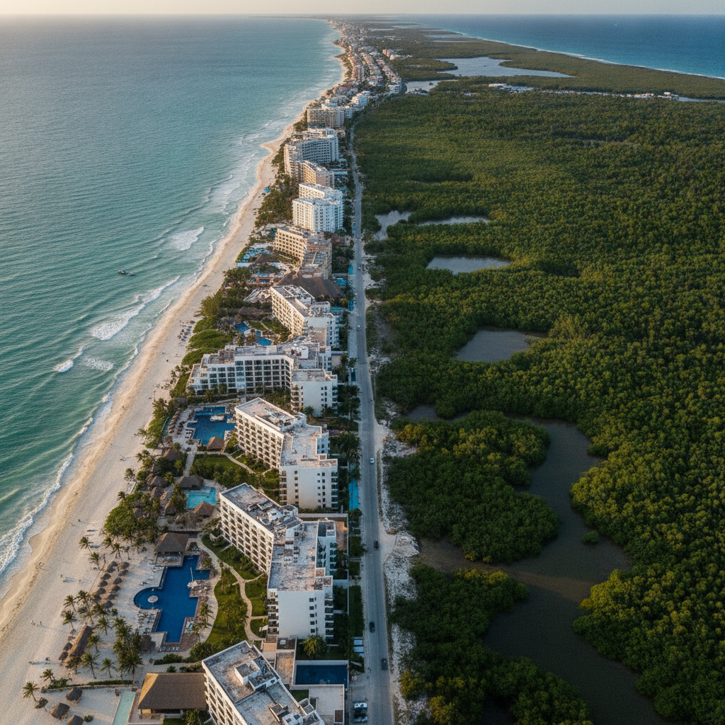
Through the 1980s Playa del Carmen was a small town with basic services, known among European backpackers as a cheaper and more authentic alternative to Cancun. The collapse of the peso in 1994 made Mexico dramatically cheaper for foreign visitors and accelerated the transition. The 1990s saw Quinta Avenida's transformation from a dirt road to a paved pedestrian strip, the arrival of international hotel chains, and the development of Playacar, the gated resort and residential neighborhood south of the ferry dock. The decade compressed fifty years of resort development into ten.
- 6
Puerto Morelos and the Pre-Tourism Caribbean Coast
Puerto Morelos, twenty kilometers north, preserves more of what the Riviera Maya coast looked like before the resort transformation. The village center, the listing lighthouse tilted by a 1967 hurricane, the small fishing cooperative, and the reef accessible from shore all suggest the pre-development landscape. Puerto Morelos became a Pueblo Magico designation in 2015 and faces its own development pressure, but the combination of the marine reserve and a smaller-scale tourism economy has so far maintained a different character from Playa. It is a useful reference point for understanding what the entire coast once was.
Walk this route with audio
Stories play automatically as you reach each stop — no tapping needed.
More in Playa del Carmen
Playa del Carmen Quinta Avenida Cozumel Ferry Caribbean Beach Clubs and the Riviera Maya City That Grew From a Ferry Dock to 350000 Residents in One Generation
Playa del Carmen Food Scene: Tacos, Seafood, and International Dining
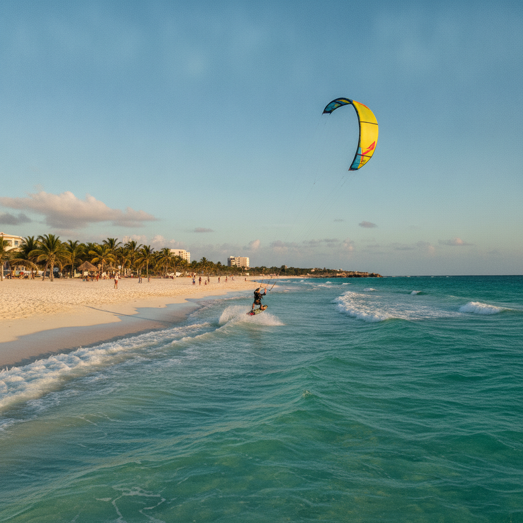
Water Sports, Cenotes, and Outdoor Activities Around Playa del Carmen

Playa del Carmen Nightlife: Beach Clubs, Clubs, and the After-Dark Economy
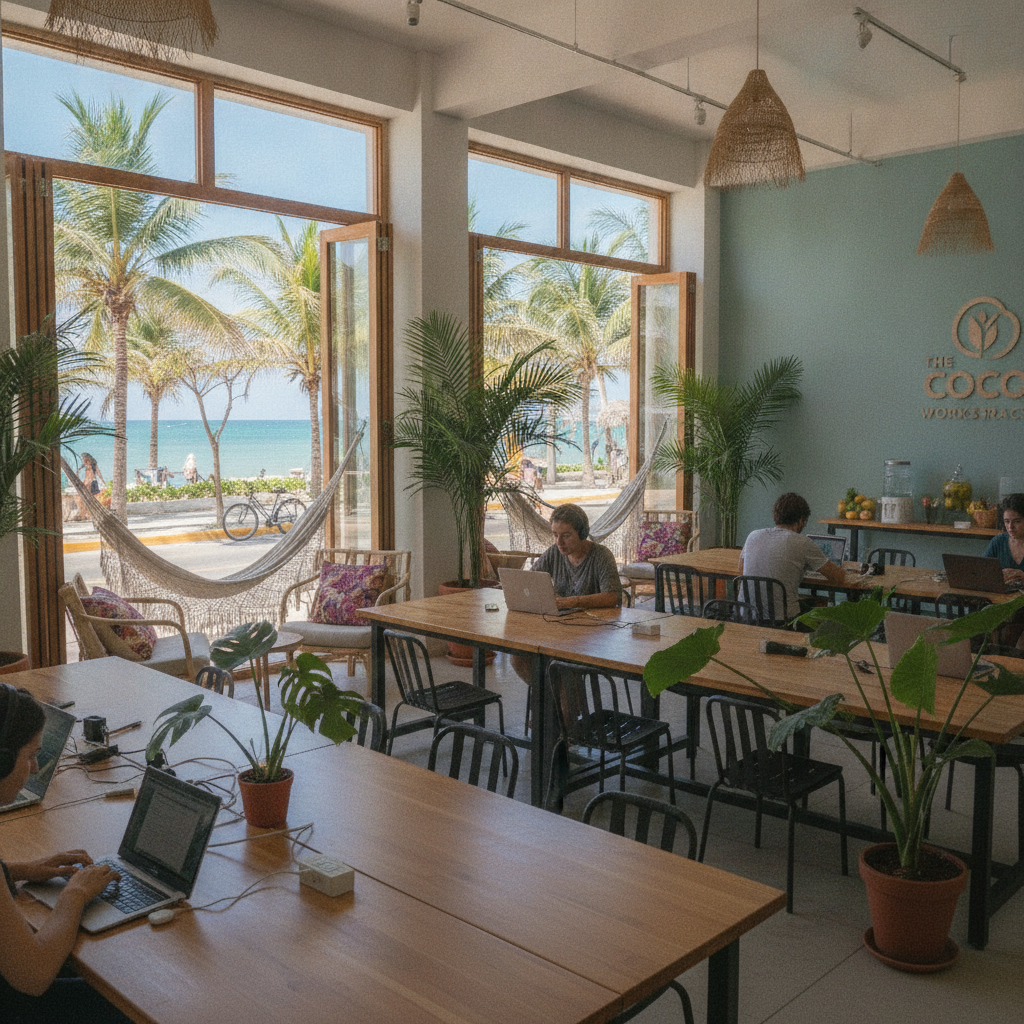
Expat Life, Digital Nomads, and Living in Playa del Carmen