Phoenix: Intel Silicon Desert, 16000 Acre City Park and the Deadliest Urban Hike in America
Catch a spring training game in a stadium where you can almost touch the players during Cactus League season, trace the Intel and TSMC semiconductor billions in Chandler Silicon Desert, hike 50 miles of trails past Hohokam petroglyphs in South Mountain Park the largest city park in the US, understand the Lake Pleasant water paradox in the drought-stressed Colorado River basin, browse 100 Western art galleries on Scottsdale ArtWalk Thursday evenings, and test your limits on Camelback Mountain technical summit scramble.
- 1
Surprise and the Cactus League
Surprise, a suburb in the far northwest of the Phoenix metropolitan area, is home to Surprise Stadium, the spring training facility for the Kansas City Royals and Texas Rangers, and is part of the Cactus League, the collection of 15 Major League Baseball teams that train in Arizona each February and March. The Cactus League draws over 1.7 million fans annually to stadium games across the Phoenix area and surrounding communities including Mesa, Tempe, Glendale, Goodyear, Peoria, Maryvale, and Scottsdale. Spring training tickets are significantly cheaper than regular season games and offer the chance to watch from intimate stadiums often within feet of players. The Phoenix area spring training complex was established in the 1940s and became the preferred alternative to the Florida Grapefruit League because the dry desert air reduces injury risk and the concentration of teams allows efficient scheduling.
- 2
Chandler and the Tech Corridor
Chandler, located in the southeast quadrant of the Phoenix metropolitan area, has emerged as one of the most significant technology manufacturing centers in the United States, anchored by the Intel Ocotillo campus, which employs over 12,000 people and is among the largest chip manufacturing facilities in the country. Intel invested 20 billion dollars in Chandler expansion between 2021 and 2024. Taiwan Semiconductor Manufacturing Company, or TSMC, announced in 2020 and broke ground in 2021 on a 12 billion dollar fabrication plant in north Phoenix, the largest foreign direct investment in Arizona history. The semiconductor manufacturing cluster in Chandler and Phoenix has been called a Silicon Desert by technology industry observers. LG, Microchip Technology, and numerous defense electronics companies also operate in the corridor. The development transformed Chandler from a cotton-farming community in the 1970s into one of the wealthiest cities in the United States by the 2020s.
- 3
South Mountain Park and Hieroglyphic Trail
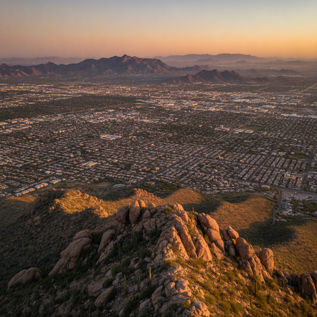
South Mountain Park in southern Phoenix, covering 16,000 acres and containing over 50 miles of trails, is the largest municipal park in the United States and one of the largest urban parks in the world. The park preserves the South Mountain range, a series of low desert mountains separating Phoenix from its southern suburbs. The Hieroglyphic Trail on the east end of the park leads to a canyon wall covered in petroglyphs created by Hohokam people between approximately 500 and 1400 AD, including human figures, deer, spirals, and geometric patterns. The summit of Dobbins Lookout at 2,330 feet provides panoramic views across the metropolitan area and is accessible by road or trail. Desert plants including saguaro, palo verde, ocotillo, and jojoba cover the mountain slopes and provide habitat for coyotes, javelinas, Gila woodpeckers, and the Gila monster.
- 4
Lake Pleasant and Desert Water Recreation
Lake Pleasant Regional Park, 30 miles north of Phoenix in the Agua Fria River basin, is the largest lake in the Phoenix area and a major destination for boating, waterskiing, kayaking, fishing, and camping in an otherwise arid desert landscape. The lake was created by the New Waddell Dam, completed in 1993, which stores water from the Central Arizona Project canal that delivers Colorado River water from the Hoover Dam reservoir to Phoenix and Tucson. The Central Arizona Project, completed in 1993, is the longest water delivery system in the United States at 336 miles and represents the primary water supply for the Phoenix metropolitan area. The dependence on Colorado River water is now existential for Phoenix as Lake Mead water levels have dropped due to prolonged drought, requiring mandatory water use reductions for Arizona under a 2023 federal agreement. The desert paradox of lakeside recreation in a region consuming far more water than its rainfall can supply is visible here.
- 5
Old Town Scottsdale Galleries and Shops
Old Town Scottsdale, centered on Main Street and 5th Avenue in the oldest part of the city, contains the highest concentration of Western and Native American art galleries in the United States, with over 100 galleries representing artists in realist, traditional Western, and contemporary Native American styles. The Scottsdale Arts District encompasses galleries from the Scottsdale Museum of Contemporary Art on the east end to the cluster of Western galleries on Main Street. Scottsdale ArtWalk on Thursday evenings has been a gallery open house tradition since 1975. The Fifth Avenue Shops, a low-rise complex of boutiques established in the 1950s, retain a mid-century Arizona shopping village character. Rawhide Western Town and Steakhouse in Chandler recreates a 1880s frontier town experience. The Indian School Park museum documents the Phoenix Indian School, a federal boarding school that operated from 1891 to 1990 on the site of what is now the Scottsdale Road and Camelback Road intersection.
- 6
Camelback Mountain Climbing
Camelback Mountain, the most prominent natural landmark within the Phoenix city limits at 2,704 feet elevation above a surrounding basin at approximately 1,000 feet, has two established trails to its summit. The Echo Canyon Trail on the north face is a 2.5-mile round trip with 1,280 feet of elevation gain over extremely rocky and steep terrain requiring handhold scrambling near the summit, and is consistently rated one of the most challenging urban hikes in the United States for its difficulty relative to its short length. The Cholla Trail on the east face is longer and less steep. The mountain receives over 500,000 hiking visitors annually and is subject to rescue operations averaging two per week during summer because unprepared visitors in extreme heat experience heat stroke and exhaustion. The city requires hikers to carry a minimum of 32 ounces of water and posts rangers at the trailhead during extreme heat events to turn back those deemed unprepared.
Walk this route with audio
Stories play automatically as you reach each stop — no tapping needed.
More in Phoenix
Phoenix: Every Instrument on Earth, Hohokam Solar Windows and the Anti-Phoenix in the Desert
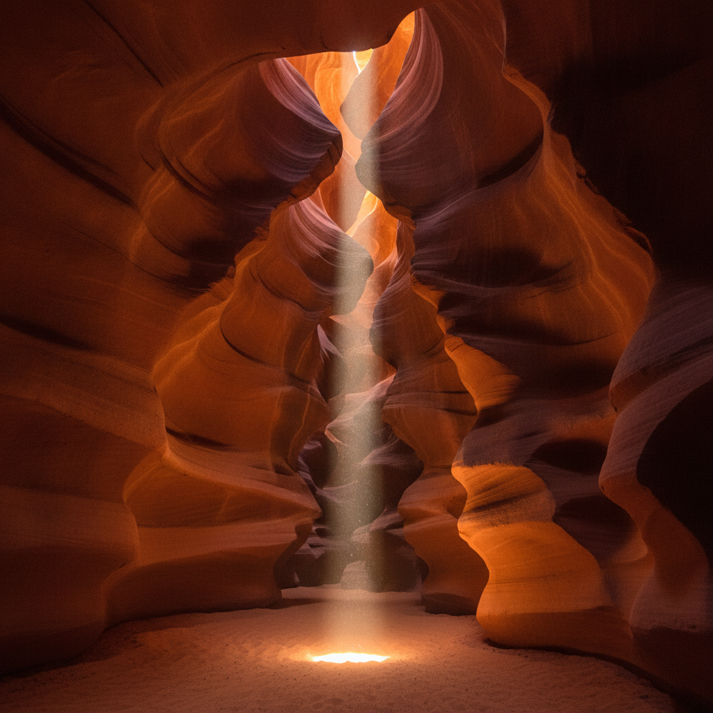
Phoenix: Antelope Canyon and Horseshoe Bend Day Trip (Navajo guided tours, light beams, Colorado River meander), Monument Valley Navajo Nation (John Ford Westerns, Valley Drive Navajo-guided), Arizona State University and Phoenix Tech Hub (Intel Chandler, most innovative US university), Scottsdale Western Heritage Museum (cowboy culture, Parada del Sol Rodeo), Phoenix Sonoran Mexican Food (chimichanga origin, Barrio Cafe, Queen Creek Olive Mill), and Petrified Forest National Park and Painted Desert
Phoenix: Suns Triple Finals Heartbreak, Red Rock Vortexes and Bacon-Wrapped Hot Dogs
Phoenix: Climate Crisis and Water Security (Colorado River compact, Lake Mead shortage, urban heat island, 107 extreme heat days), Phoenix Outdoor Recreation (South Mountain Park largest urban park in US, McDowell Sonoran Preserve, mountain biking), Snowbird Culture (winter migration, 300000 seasonal residents, RV parks), Arizona Cardinals NFL and Phoenix Sports Scene, Phoenix Growth Story (fastest growing US metro, sprawl critique, light rail expansion), and Practical Guide (Sky Harbor Airport, freeway grid, best months to visit October-April)
Phoenix: Camelback Mountain Hike (Echo Canyon Trail, 200 rescues per year, desert safety), Scottsdale Old Town Arts District (125 galleries, Western American art, luxury shopping), Sedona Red Rock Country Day Trip (energy vortexes, Cathedral Rock, Oak Creek Canyon, jeep tours), Grand Canyon South Rim (6M visitors, Bright Angel Trail, mule rides, Havasupai turquoise falls), and Desert Botanical Garden and Heard Museum (50000 plants, Native American art)