Te Mata Peak Summit Hike
Climb the dramatic limestone ridgeline of Te Mata Peak for unparalleled views over Hawke's Bay, the Heretaunga Plains, and the Kaweka Ranges.
- 1
Te Mata Park Entrance
Te Mata Peak Regional Park sits 10 km south of Napier — the distinctive shark-fin profile of the limestone ridge is visible from across the Heretaunga Plains.
- 2
Tukituki River Valley View
From the lower slopes, the Tukituki River winds through the plains below — its shingle bed is a prime habitat for the endangered black-fronted dotterel.
- 3
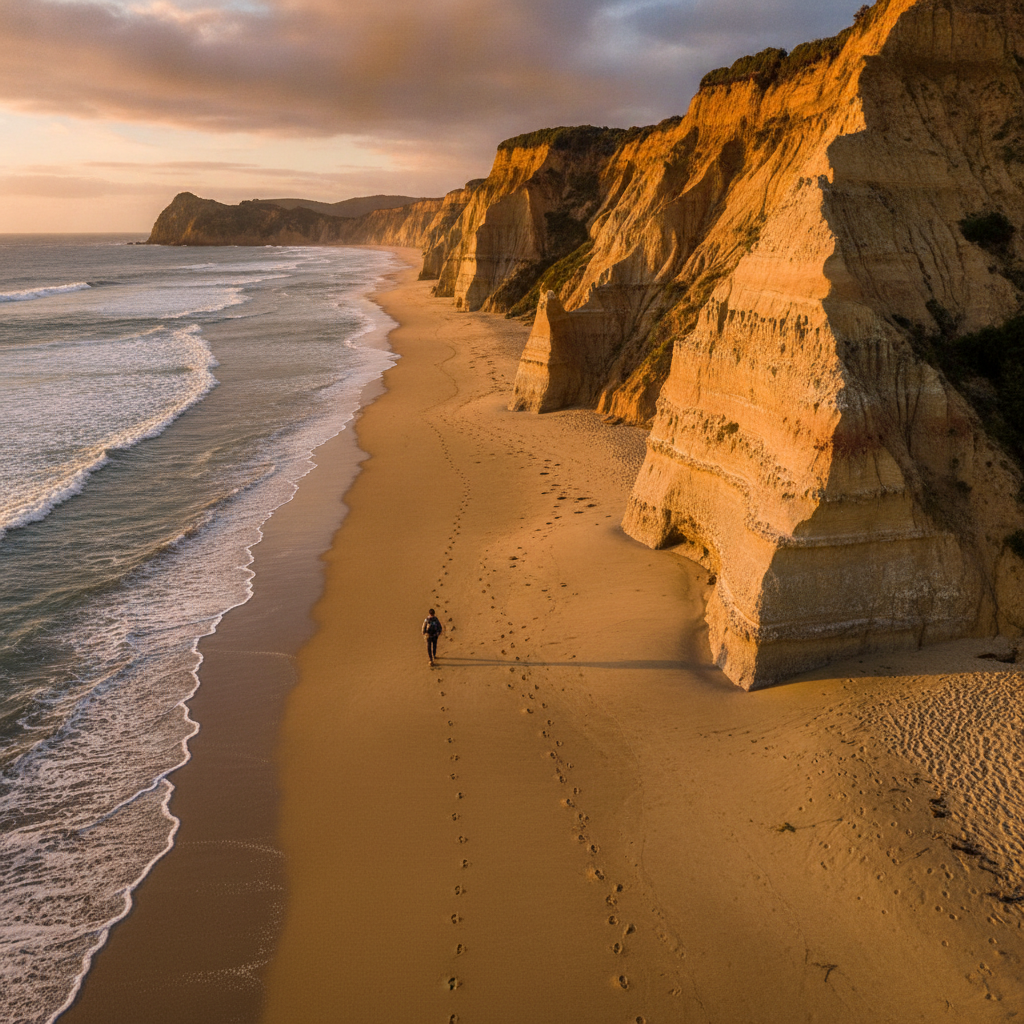
Limestone Bluff Trail
The trail follows the edge of the limestone bluffs, where the rock has been eroded by wind and rain into dramatic ridges and overhangs.
- 4
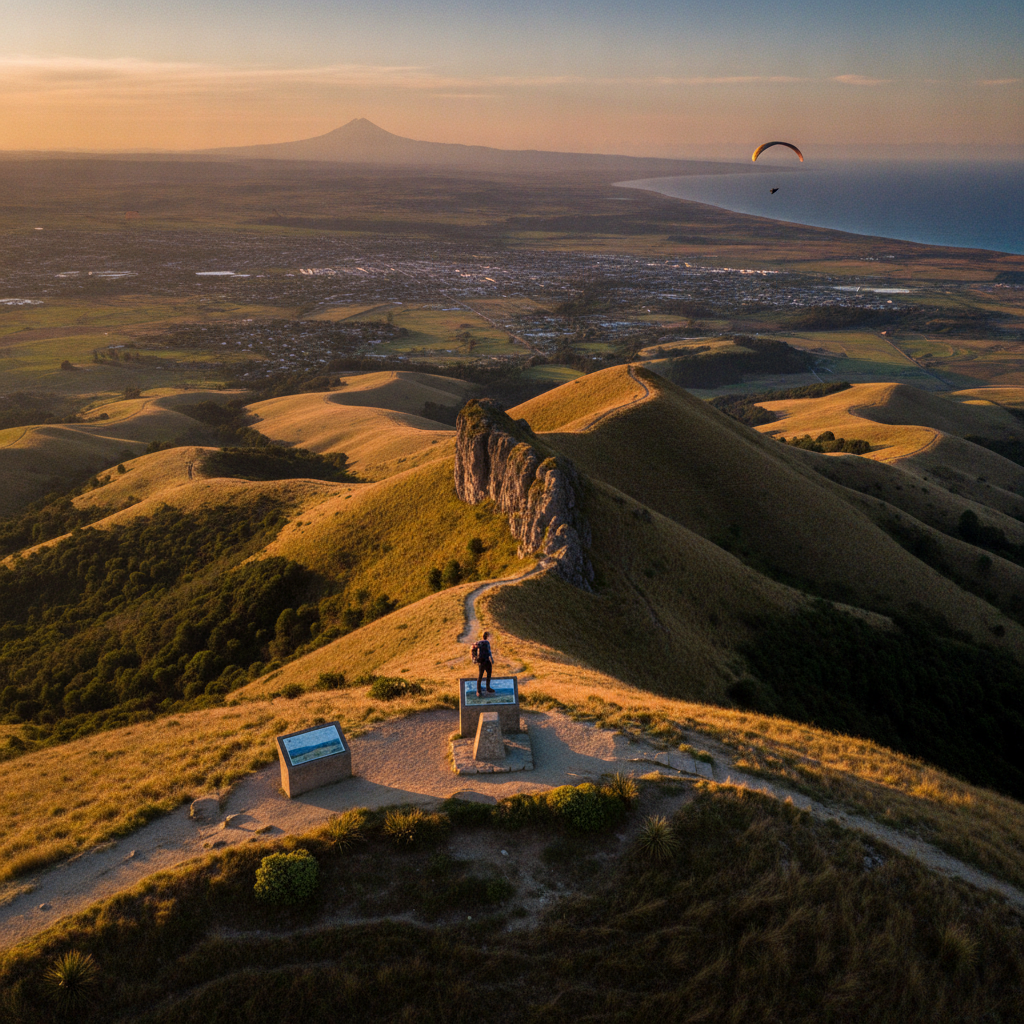
Te Mata Peak Summit (399m)
The summit gives a full 360-degree view — Hawke's Bay to the east, the Kaweka and Ruahine Ranges to the west, and the entire Heretaunga Plains below.
- 5
Maori Legend Point
The ridge is said to be the body of the giant Māori chief Te Mata o Rongokako, who ate his way through the hills for love — the gaps in the ridge are his bite marks.
- 6
Winery View Descent
The descent reveals the patchwork of vineyards, orchards, and market gardens that make the Heretaunga Plains one of New Zealand's most productive agricultural regions.
Walk this route with audio
Stories play automatically as you reach each stop — no tapping needed.