Climate Change and the Future of Monteverde Cloud Forest
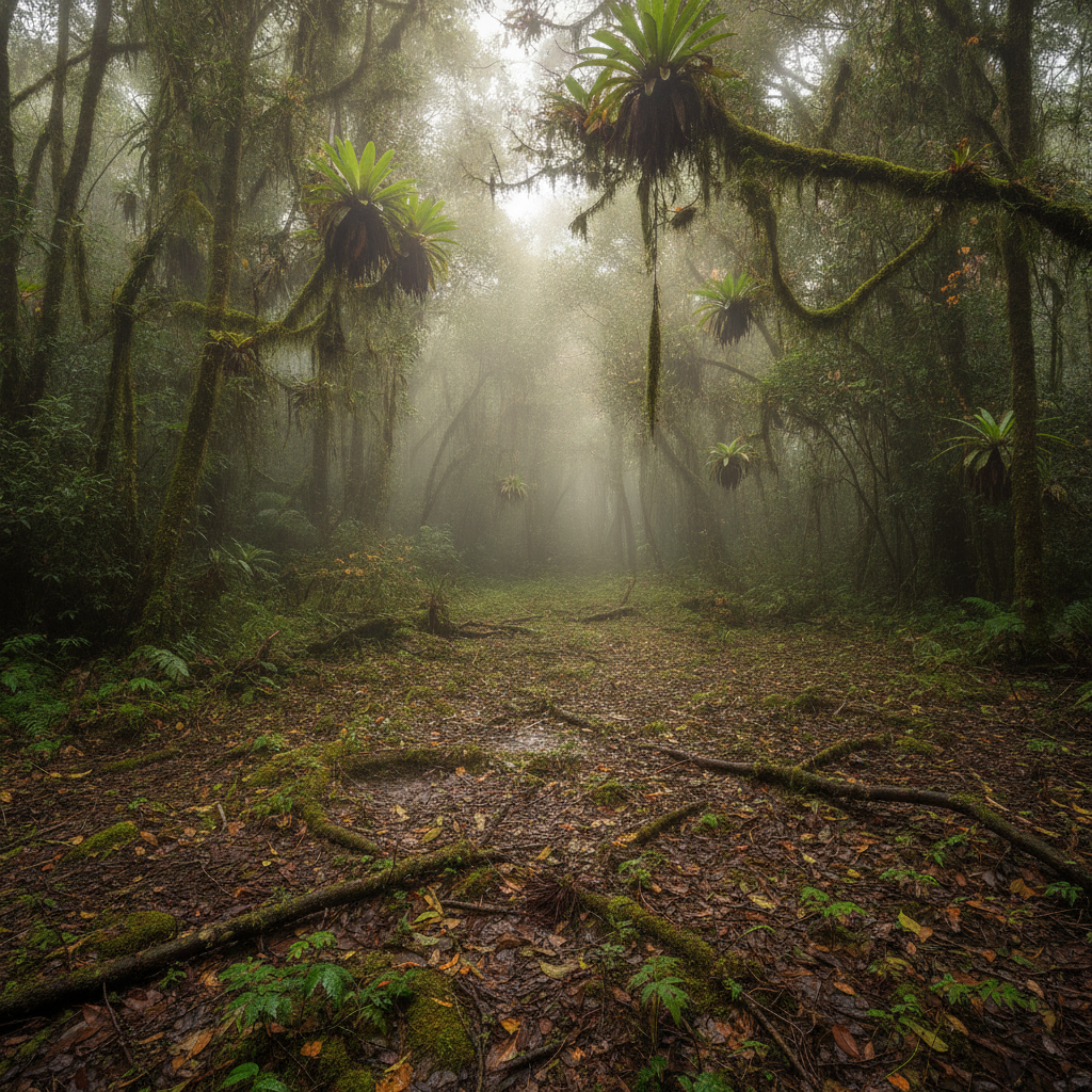
Monteverde has become one of the most cited case studies in climate change impact on biodiversity. The disappearance of the golden toad in 1989, the rising cloud base altitude documented since the 1970s, and the shifting range boundaries of species dependent on specific temperature and moisture regimes have made the cloud forest a real-time laboratory for observing biological responses to warming. This route examines the scientific documentation of climate change in the Monteverde ecosystem and the adaptive strategies being pursued by the conservation community.
- 1
The Golden Toad Extinction: The First Climate Change Casualty
The golden toad (Incilius periglenes), a brilliant orange species found only in a few hectares of elfin forest near the Monteverde Reserve continental divide, was last seen in 1989. It had been discovered by biologist Jay Savage only in 1964. The population crashed from over 1,500 individuals to zero within three years, with no survivors documented despite intensive survey effort since. The extinction was analyzed by Alan Pounds and colleagues in a 1999 Nature paper linking the disappearance to a warming-driven increase in the altitude of the trade wind inversion layer, which reduced the frequency of dry-season mist that the toad depended on for reproduction. The golden toad became the symbol of climate-driven extinction globally, and the case established Monteverde as a sentinel site for biodiversity response to atmospheric warming.
- 2
Rising Cloud Base: Documented Changes in Forest Moisture
Long-term meteorological records from Monteverde show a statistically significant upward trend in the altitude at which clouds form on the Pacific slope trade winds, reducing the frequency and duration of cloud immersion in the lower elevation zones of the reserve. This change in the moisture regime affects the epiphytes, amphibians, and cloud-dependent forest species that have evolved to take advantage of the persistent fog environment. Studies comparing epiphyte communities in the 1970s to the present document significant reductions in bryophyte cover in the lower elevation forest. The cloud base rise is attributed to warming of the Pacific sea surface temperature, which changes the atmospheric dynamics that determine where trade wind moisture condenses.
- 3
Amphibian Decline: Chytrid Fungus and Climate Interaction
The Monteverde amphibian community, once extraordinarily diverse with over 60 species in the reserve, has experienced dramatic declines since the late 1980s. The chytrid fungus (Batrachochytrium dendrobatidis), which infects and kills amphibians by disrupting skin function, appears to have spread to Monteverde via the trade winds and rain. Research by Alan Pounds and colleagues proposed that climate warming creates optimal conditions for chytrid growth while simultaneously stressing amphibians that depend on narrow temperature ranges, creating a deadly synergy. The Monteverde amphibian decline, which included 40 species disappearing from the reserve by the mid-1990s, was a major early signal of the global amphibian extinction crisis.
- 4
Species Range Shifts: The Moving Boundary of Biodiversity
Long-term monitoring in the Monteverde Reserve and surrounding landscape documents upward range shifts in multiple species responding to warming temperatures. The footprint-of-the-toad study by Alan Pounds documented that the maximum lower altitude boundary of over 30 species of birds and reptiles shifted upward by an average of several hundred meters between the 1970s and 1990s. The implication is that cloud forest species are being compressed into an increasingly narrow highland band as their lower range boundary rises while the upper boundary is constrained by the mountain summit. For species endemic to the Monteverde cloud forest with no higher-altitude refuge available, the prognosis under continued warming scenarios is extinction.
- 5
Conservation Response: Corridors, Restoration, and Adaptive Management
The conservation community in Monteverde has responded to climate change projections with several practical strategies. The Monteverde Conservation League has expanded the reserve footprint through land purchase to create buffer zones and elevational gradients that allow species migration upslope as temperatures rise. Restoration of secondary forest on abandoned cattle pastures adjacent to the protected areas creates additional habitat connectivity. The Mesoamerican Biological Corridor concept, connecting protected areas from Mexico to Colombia, is partly motivated by the need to enable species range shifts in response to climate change. The pace of land-use change in the buffer zones remains a concern; the conservation investment is competing with agricultural intensification and real estate development that reduces the connectivity the corridor strategy requires.
- 6
Research and Monitoring: The Ongoing Scientific Record
The Monteverde Institute and the Tropical Science Center maintain long-term monitoring programs that make the reserve one of the most continuously observed tropical ecosystems in the world. Weather station records going back to the 1970s, amphibian population surveys from the 1960s, plant phenology records, and camera trap mammal monitoring create a temporal baseline for detecting change. The density of research attention means that changes are documented rigorously rather than anecdotally. The publications from this monitoring have made Monteverde disproportionately influential in global climate-ecology discourse relative to its geographic size. The cloud forest is effectively an open-air climate change laboratory, and the scientific institutions that have worked there for fifty years are its long-term keepers.
Walk this route with audio
Stories play automatically as you reach each stop — no tapping needed.
More in Monteverde

Monteverde Cloud Forest: Quetzals, Suspension Bridges, and the Quaker Colony
Guanacaste and the North Pacific: Day Trips from Monteverde
Monteverde Cheese, Coffee, and the Agricultural Community Economy

Conservation History: How Monteverde Became a Global Model for Ecotourism
Santa Elena Village: Food, Nightlife, and the Social Hub of the Monteverde Area