Riviera Maya and Tulum from Merida: The Caribbean Coast That Transformed From Coconut Plantations to the Most Visited Beach in Mexico and Why the Cenote Aquifer That Visitors Swim in Is the Same Water Cancun Drinks
The Riviera Maya, the 130-kilometre strip of Caribbean coast between Cancun and Tulum that is the primary international beach tourism destination in Mexico with over 15 million annual visitors, and the adjacent Cancun hotel zone that was built on a sand bar designated for tourism development by a 1970 Mexican government computer study of optimal beach sites, are accessible from Merida as day trips or multi-day excursions through a landscape that transitions from the flat thorn scrub and cenote-dotted limestone of the Yucatan interior to the coral reef-protected Caribbean beach environment of the coast in a 3-hour drive through a peninsula whose coastal character is entirely different from its inland reality. The cenote aquifer that provides fresh water to the Riviera Maya hotels and the population of Cancun is the same aquifer system that the Maya civilization of the Yucatan interior has depended on for 4,000 years, meaning that the expansion of the Riviera Maya tourism infrastructure draws from the same underground water supply that feeds the cenotes visitors swim in and the communities inland depend on for drinking water, creating a hydraulic connection between the beach resort economy and the inland Maya communities that the tourism marketing never mentions. The archaeological sites of the Caribbean coast, including Tulum on its cliff above the turquoise Caribbean, Coba with its pyramid in the jungle interior, and Muyil in the Sian Ka'an biosphere reserve, provide the historical layer to the beach experience that distinguishes the Riviera Maya from a featureless tropical beach and connects the contemporary tourism economy to the Maya civilization whose cenotes and cultural landscape the tourists are visiting.
- 1
Tulum Archaeological Site and Coast
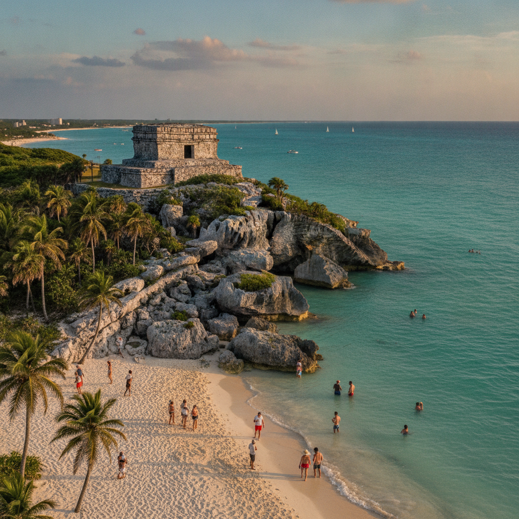
Tulum, the walled Maya city on a cliff 12 metres above the Caribbean Sea that was occupied from approximately 1200 to 1521 CE as a port and ceremonial center of the coastal Maya trading networks, is the only major Maya archaeological site on the Caribbean coast of the Yucatan Peninsula and the only Maya site with a view of the sea from the temple platforms, creating a dramatic landscape setting that makes it the most photographed Maya site in Mexico after Chichen Itza despite its relatively modest architectural scale compared to the inland Classic period cities. The Temple of the Frescoes at Tulum contains one of the best-preserved examples of Maya mural painting in the Yucatan, with scenes of deities, offerings, and the descending god associated with honey bees visible on the interior walls behind protective glass. The Castillo of Tulum, the largest structure at the site, positioned at the cliff edge above the sea, contains a beacon chamber that may have functioned as a lighthouse guiding canoe traders through the reef opening below the site. The reef opening at Tulum, one of only two breaks in the Mesoamerican Barrier Reef between Cancun and Belize, allowed the coastal trading canoes that connected the Yucatan, Gulf Coast, and Caribbean Maya networks to enter the protected lagoon behind the reef, making Tulum a port of critical strategic importance in the pre-Columbian coastal trade system. The Tulum pueblo that has developed adjacent to the archaeological zone has become one of the most discussed examples of unplanned tourism development in Mexico, with the combination of luxury eco-hotels, Bohemian wellness tourism, and infrastructure inadequacy generating both a global lifestyle brand and a local crisis.
- 2
Coba Jungle Pyramid and Bike Trails
Coba, the Maya archaeological site in the Yucatan interior 42 kilometres northwest of Tulum, contains the Nohoch Mul pyramid, at 42 metres the tallest Maya structure in the Yucatan Peninsula, which until 2021 was one of the few major Maya pyramids in Mexico that could still be climbed to the summit, providing a view above the jungle canopy of the flat Yucatan landscape extending in all directions to the horizon. Climbing was prohibited in 2021 after safety concerns about the stone surface, leaving the pyramid experience to observation from the base. The site itself, spread across an area of 50 square kilometres of jungle connected by the largest network of Maya sacbeob, the raised white stone causeways that connected Maya cities internally and to each other, provides a different experience from the open plazas of Chichen Itza: Coba is a jungle archaeological site where the majority of the structures are unexcavated mounds beneath the forest cover, and the exploration of the site requires a bicycle rental or a pedicab from the entrance to reach the dispersed building groups. The sacbe system of Coba, which includes the longest known Maya causeway at 100 kilometres connecting Coba to the site of Yaxuna near Chichen Itza, reflects the political and commercial ambitions of a city that controlled the eastern Yucatan during the Classic period. The cenotes and lagoons of the Coba area, including the twin lakes of Lago Coba and Lago Macanxoc, provided the freshwater resources that supported Coba as one of the largest populations in the Classic Yucatan, estimated at 50,000 people at its peak.
- 3
Sian Ka'an Biosphere Reserve
The Sian Ka'an Biosphere Reserve, UNESCO World Heritage Site covering 528,000 hectares of the Caribbean coast of Quintana Roo south of Tulum, contains the most ecologically diverse coastal and marine habitat on the Yucatan Peninsula, encompassing tropical forest, mangrove lagoons, freshwater marshes, barrier reef, and open Caribbean Sea within a single protected area that harbors jaguars, tapirs, manatees, American crocodiles, and the nesting beach of four sea turtle species including the critically endangered leatherback. The reserve is accessible from Tulum by boat or by a dirt road running south from the Tulum hotel zone, with organized ecotours operating from the Sian Ka'an community of Muyil that include jungle canal drifts on inner tubes through the ancient Maya waterway system and bird observation in the lagoon environments. The ancient canal system within the Sian Ka'an reserve, excavated by the Maya to connect the coastal lagoons to the inland freshwater system, was used for canoe transport of traded goods along the Caribbean coast and is still hydrologically functional, carrying water from the Yucatan interior aquifer to the lagoons and ultimately to the Caribbean Sea. The manatee population of the Sian Ka'an lagoons, part of the Caribbean manatee subspecies that inhabits the shallow coastal waters from Florida to Brazil, is one of the few places in Mexico where manatees can be reliably observed in their natural habitat from organized boat tours. The seagrass beds of the lagoons provide the feeding habitat for the manatees and for the green sea turtles that nest on the reserve beaches.
- 4
Cancun History and Tourism Development
Cancun was not a city before 1970: it was a narrow sand bar on the northeastern Yucatan coast connected to the mainland by two bridges with a population of approximately 100 permanent residents, mostly coconut plantation workers, when the Mexican government Bank of National Works and Services used a 1960s computer analysis of optimal beach development sites to select it as the location for a planned tourism development that would generate foreign exchange revenue and economic development in the underdeveloped Yucatan Peninsula. The Mexican government invested in airport, road, water, and electricity infrastructure on the sand bar and sold beachfront lots to hotel developers, creating the hotel zone strip in the 1970s that grew to 200 hotels, 800 restaurants, and 30,000 hotel rooms by the early 21st century. Cancun now receives over 6 million international visitors per year, making it the most visited international destination in Mexico and one of the busiest beach resort airports in the Americas. The urban area of Cancun city on the mainland, called the downtown or El Centro in contrast to the hotel zone on the barrier island, has a population of approximately 900,000 and is one of the fastest-growing cities in Mexico, with a service economy built on the hotel zone employment and the supporting industries of the tourism sector. The environmental consequences of the rapid Cancun development include the destruction of mangrove areas, the pollution of the coastal aquifer, the bleaching of significant portions of the Mesoamerican Barrier Reef from nutrient runoff and thermal stress, and the illegal sand extraction that has contributed to beach erosion in the hotel zone.
- 5
Mesoamerican Barrier Reef and Marine Environment
The Mesoamerican Barrier Reef, the second longest coral reef system in the world after the Great Barrier Reef of Australia, extends 1,000 kilometres from the tip of the Yucatan Peninsula at Cabo Catoche to the Bay of Honduras, protecting the Caribbean coast of Mexico, Belize, Guatemala, and Honduras from wave erosion and providing the marine habitat diversity that supports the scuba diving and snorkeling industry of the Riviera Maya. The Mexican section of the reef, which includes the coral gardens of Cozumel Island designated a national marine park in 1996 and the Banco Chinchorro atoll 50 kilometres offshore from Mahahual, contains the most diverse coral and fish community on the Mexican Caribbean and is among the most visited scuba diving destinations in the Americas. The reef system has experienced significant coral bleaching damage from the increased sea surface temperatures associated with climate change, with mass bleaching events in 1998, 2005, 2010, and 2023 killing significant portions of the coral cover on the Mexican reef. The sargassum seaweed blooms, which began arriving in massive quantities on the Riviera Maya beaches beginning in 2015 and have continued annually, are generated by nutrient loading from the Amazon River and the Atlantic Ocean and driven to the Mexican Caribbean coast by wind and current patterns, covering beaches in decomposing brown seaweed that generates hydrogen sulfide gas and destroys the visual appeal of the beach resort environment. The sargassum problem has become the primary economic threat to the Riviera Maya hotel sector.
- 6
Valladolid Gateway and Cenote Dzitnup
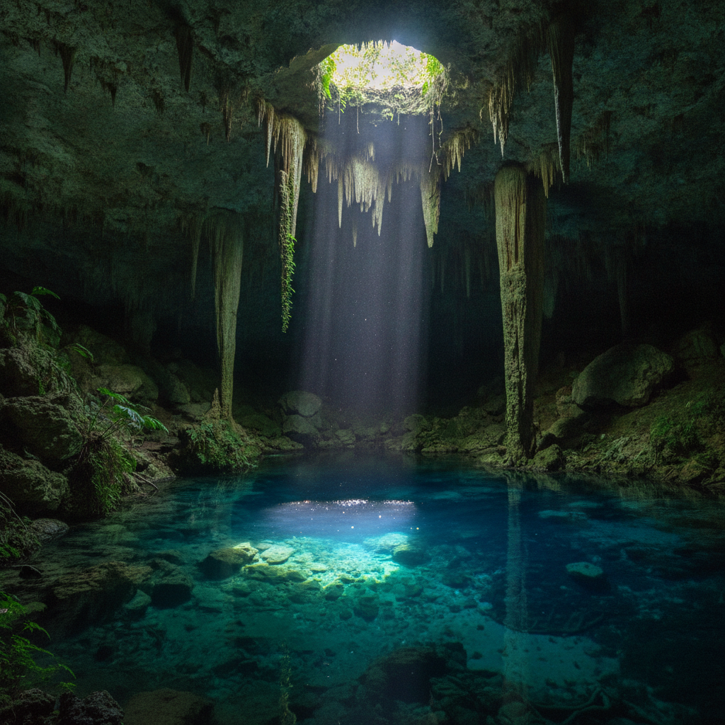
Valladolid, the colonial city 160 kilometres east of Merida and 40 kilometres west of Chichen Itza, serves as the primary rest and accommodation stop for the Merida-Chichen Itza day trip and as a base for exploring the cenotes, archaeological sites, and colonial towns of the central Yucatan. The Cenote Dzitnup and the adjacent Cenote Samula, two kilometres from Valladolid, are the most photographed cenotes in the Yucatan Peninsula: the Dzitnup is a fully enclosed underground cavern whose ceiling has collapsed to create a circular opening through which a single shaft of sunlight descends to illuminate the turquoise pool below, with stalactites hanging around the cavern ceiling and the cathedral-like geometry of the cave creating an atmosphere unlike any outdoor swimming experience. The town center of Valladolid, with its colonial church of San Gervasio, its cenote within the convento garden, and its traditional market of Yucatecan food and craft, provides the most complete small-city colonial experience in the Yucatan outside Merida itself. The Cenote Zaci within the Valladolid town center, accessible from the main street, is an open cenote with a restaurant and park surrounding the water, available for swimming without a cave entrance fee. The Ek Balam archaeological site 25 kilometres north of Valladolid, with its acropolis building covered in extraordinary stucco sculpture, is reachable by organized tour or by taxi in a half-day trip from Valladolid that few visitors who focus on Chichen Itza include in their itinerary, making it one of the most rewarding off-main-circuit archaeological destinations in the Yucatan.
Walk this route with audio
Stories play automatically as you reach each stop — no tapping needed.
More in Merida
Merida Hacienda Hotels and the Yucatan Countryside: Swimming Pools in Converted Sisal Vats, Flamingo Lagoons at Celestun and the Biosphere Reserve Where Jaguars and Manatees Still Exist Within Two Hours of a Colonial Capital
Merida Colonial Architecture Walking Tour: Cantera Limestone Mansions of the Calle 60 Corridor, the Plateresque Doorways of the Historic Center and the Architectural Inventory That Makes Merida the Best-Preserved Colonial City in Mexico After Oaxaca
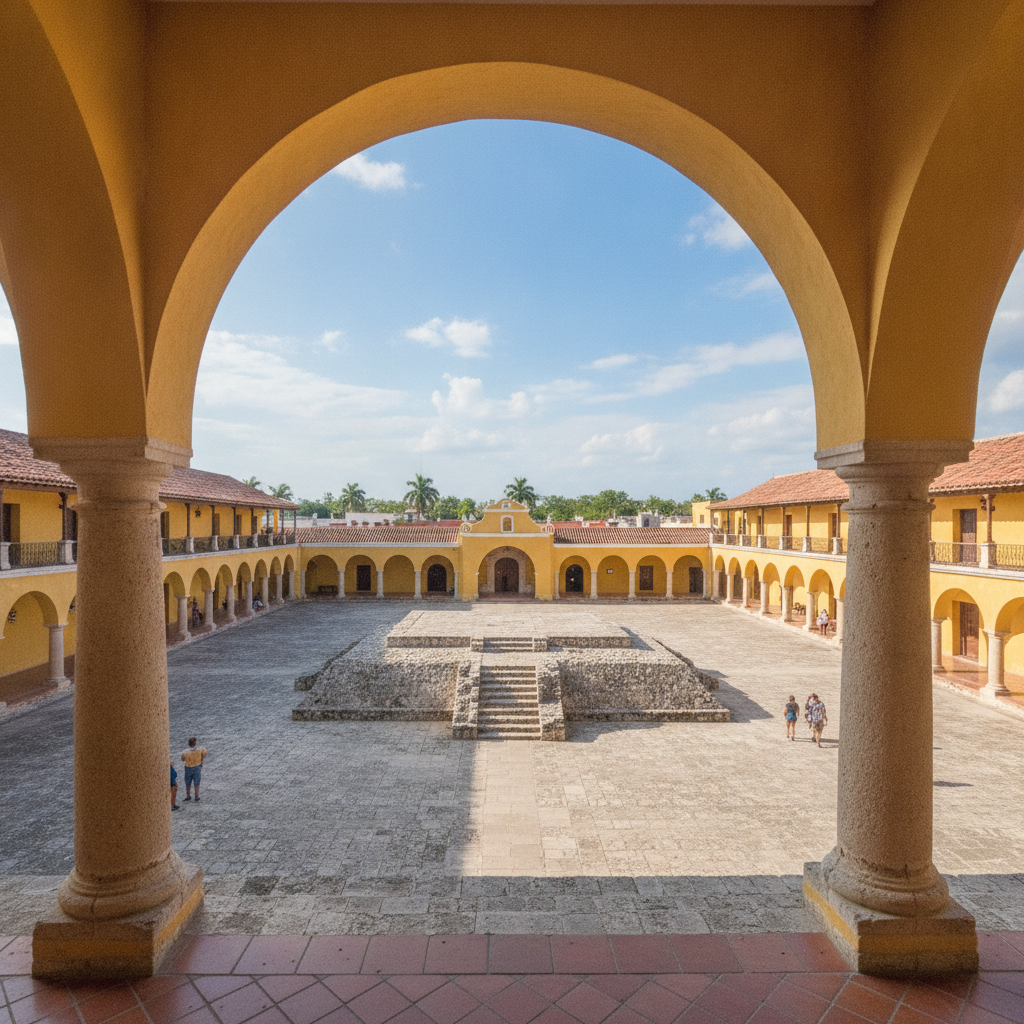
Yucatan Colonial Churches and the Franciscan Campaign That Replaced Every Maya Pyramid With a Monastery: How the 16th-Century Mass Conversion Program Produced the Most Impressive Monastic Architecture in the Americas
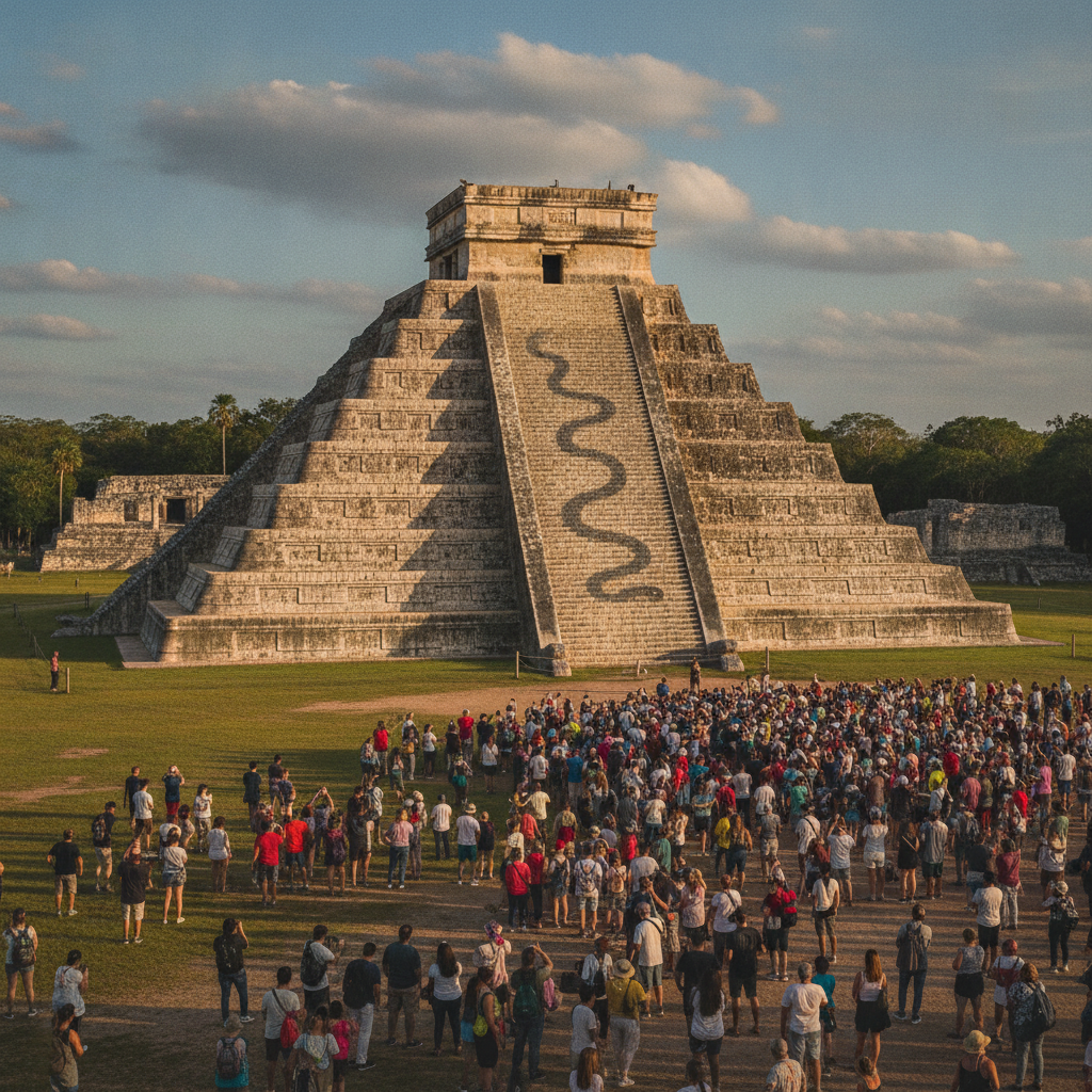
Merida: The White City of the Yucatan Peninsula Where Henequen Millionaires Built Beaux-Arts Mansions on a Maya Foundation and Where Chichen Itza Is Ninety Minutes Away and Cenotes Are Everywhere Beneath the Flat Limestone Plain
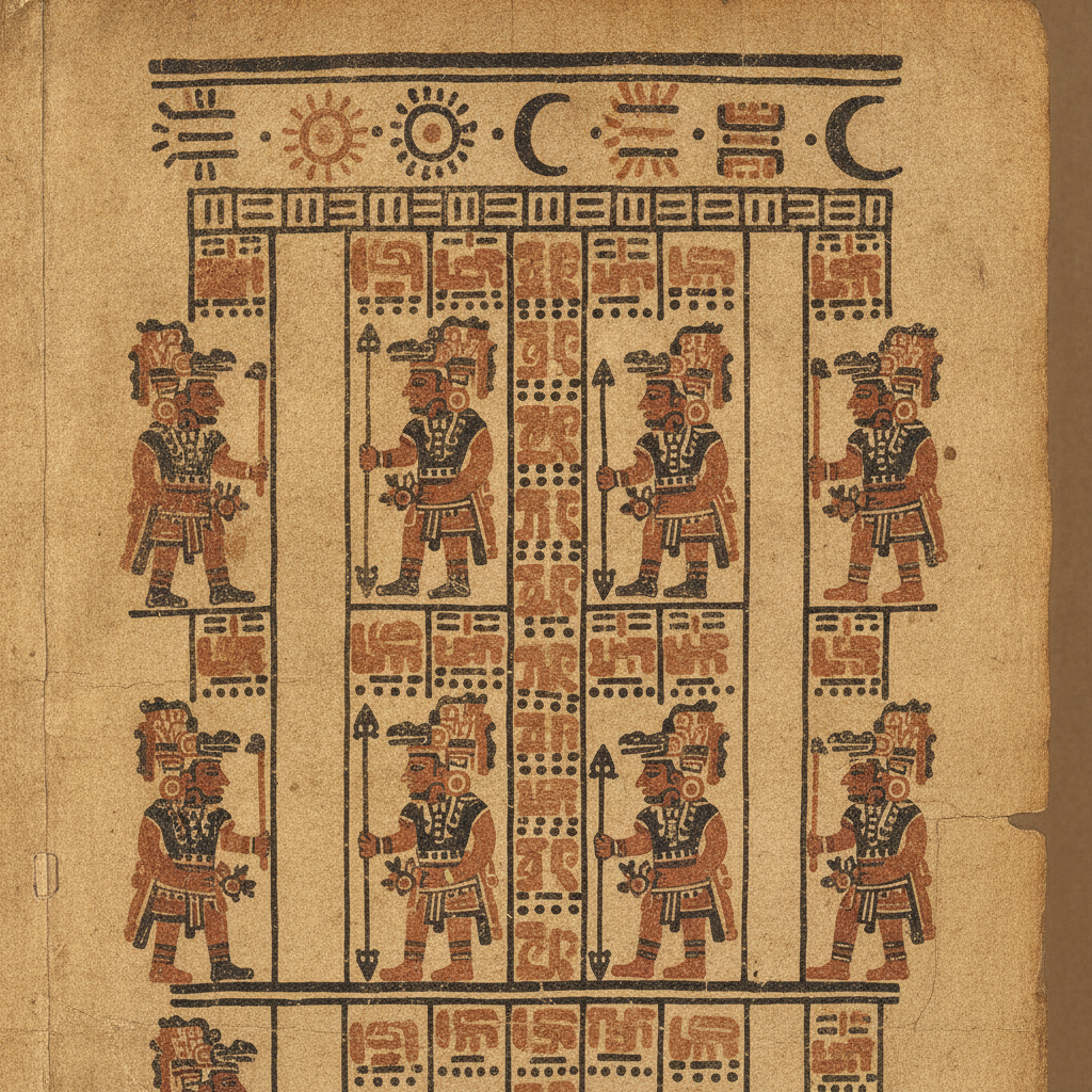
Maya Civilization in the Yucatan: The Writing System That Scholars Could Not Read for 150 Years, the Dresden Codex Astronomical Tables That Are More Accurate Than European Medieval Equivalents, and the Debate About Who Built Chichen Itza