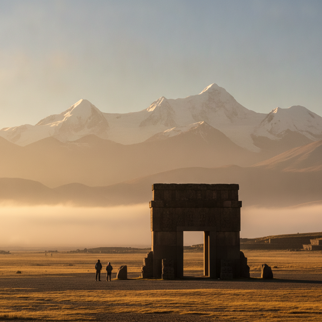
Salar de Uyuni Connection: From Titicaca to the Worlds Largest Salt Flat
The journey from Lake Titicaca south through the Bolivian altiplano to the Salar de Uyuni is one of the great overland routes of South America, connecting two of the continents most extraordinary landscapes across 600 kilometers of high plateau. The Salar de Uyuni at 3,656 meters covers 10,582 square kilometers of perfectly flat crystalline salt, formed from the evaporation of prehistoric lakes that once covered the entire southern altiplano. The journey from Puno or Copacabana through La Paz and south to Uyuni typically takes two to three days by bus or train, passing through the mining city of Potosi, the Spanish colonial silver capital that financed the early modern global economy.
- 1
The Bolivian Altiplano South of Titicaca: Oruro and the Mining Towns
The road south from Lake Titicaca through the Bolivian altiplano passes through Oruro, the mining and festival city, and continues through the progressively drier and more austere southern altiplano toward Potosi and Uyuni. Oruro was established as a silver mining center in the 17th century and continues as a tin and other mineral mining economy; the Carnaval de Oruro each February transforms the otherwise unremarkable city into one of the most spectacular cultural events in South America. The altiplano south of Oruro becomes increasingly stark and flat, with wide salt pans and flamingo-dotted lagoons appearing between the barren volcanic ridges. The small mining town of Uyuni at the edge of the salt flat is the base for salar tours and has developed a significant tourism infrastructure despite its remote location and extreme climate.
- 2
Potosi: The Silver Mountain That Funded Colonial Spain
Potosi, at 4,090 meters the highest city of its size in the world, was founded in 1546 following the discovery of extraordinarily rich silver deposits in the Cerro Rico mountain above the city. At its 17th century peak the city had a population of over 150,000, making it one of the largest cities in the world and the primary source of silver for the Spanish colonial economy. The silver of Potosi funded the Spanish crown wars, European banking, and the expansion of global trade; the phrase Vale un Potosi (worth a Potosi) entered Spanish as an expression of extreme value. The human cost was staggering: an estimated eight million indigenous workers died in the mines through the mita forced labor system over the colonial period. The historic city center, with its Casa de la Moneda mint and baroque churches, is UNESCO World Heritage. The Cerro Rico mine tours allow visitors to descend into working mine sections; the conditions remain difficult and the tours are not for the claustrophobic or faint-hearted.
- 3
The Salar de Uyuni: Salt Geometry and Mirror Effects
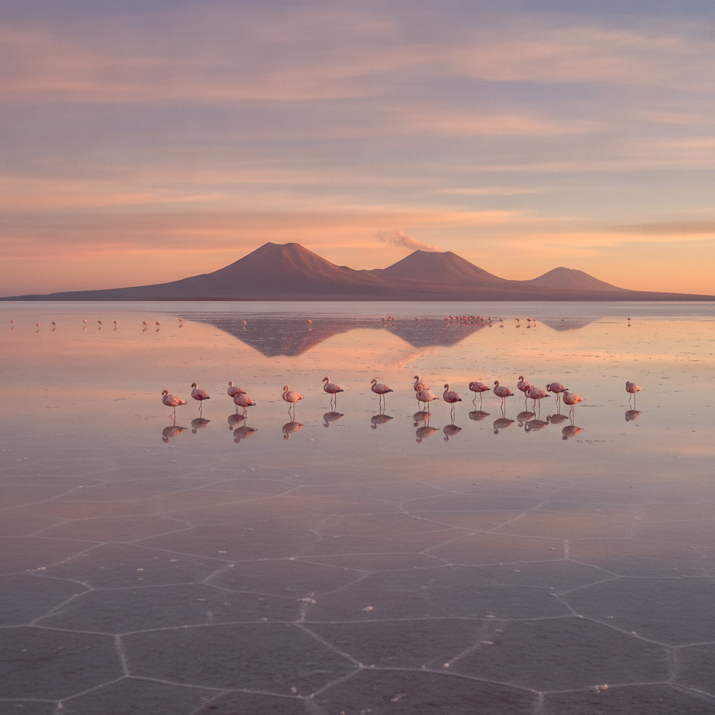
The Salar de Uyuni, the largest salt flat on earth at 10,582 square kilometers, occupies the floor of a former prehistoric lake at 3,656 meters altitude in the southwestern corner of Bolivia. The surface is composed of a crust of crystalline sodium chloride averaging two to ten meters deep, sitting above a brine lake that contains an estimated 50 to 70 percent of the world lithium reserves. The geometric hexagonal salt crust pattern, caused by the differential evaporation and crystallization of surface brine, is visible from the ground as a tiled landscape extending to every horizon. During the wet season from December through April, a thin layer of water covers the salar surface, creating a perfect mirror that reflects the sky with such clarity that the horizon disappears and observers appear to stand in infinite space. This mirror effect has made the Uyuni wet season one of the most photographed natural phenomena in South America, though the reflection requires the specific combination of water depth, wind conditions, and sky clarity that does not occur every day.
- 4
Flamingo Lagoons and the Eduardo Avaroa Reserve
The Eduardo Avaroa Andean Fauna National Reserve in the southwestern corner of Bolivia, accessible from Uyuni on multi-day jeep tours, contains some of the most spectacular high-altitude landscapes in South America alongside the world most concentrated flamingo breeding habitat. The Laguna Colorada, a shallow red lake colored by the algae and minerals in its water and ringed by white borax, holds the largest breeding colony of James flamingos in the world, with approximately 10,000 nesting pairs. The Laguna Verde and Laguna Blanca at over 5,000 meters altitude frame the perfect cone of Volcan Licancabur on the Chilean border. The Sol de Manana geyser field at 4,850 meters is active in the morning when the geothermal vents send columns of steam dozens of meters into the thin air. The standard three-day jeep tour from Uyuni through the reserve ends at the San Pedro de Atacama border crossing into Chile, completing a traverse of the altiplano from Lake Titicaca through Bolivia to the Chilean desert.
- 5
Potosi Silver and the Making of the Modern World Economy
The discovery of the Cerro Rico silver deposits in 1545 and the subsequent production at Potosi fundamentally transformed the global economy of the early modern period in ways that continue to shape the present. Before Potosi, Europe had limited silver currency; after Potosi, vast quantities of silver flowed to Spain, then to China in exchange for silk and porcelain, connecting the Americas, Europe, and Asia in the first truly global trade network. The pieces of eight minted at the Potosi Casa de la Moneda were the dominant global trade currency for two centuries, used from Manila to Amsterdam. The scale of silver extraction required the mita system, an Inca labor obligation repurposed by the Spanish into a colonial forced labor draft that required every indigenous adult male to spend one year in seven working in the mines. The human cost was the near-depopulation of entire regions of the Andean highlands through death, disease, and flight from the labor draft.
- 6
Atacama Connection: From Uyuni to the Chilean Desert
The Eduardo Avaroa Reserve jeep tour typically ends at the Bolivian-Chilean border above San Pedro de Atacama, the oasis town in northern Chile that serves as the base for Atacama Desert exploration. The descent from 5,000 meters altiplano through the volcanic mountains to the 2,400 meters Atacama is one of the most dramatic altitude drops on any overland route in South America. San Pedro de Atacama, with its adobe architecture and surrounding landscape of geysers, salt flats, colored lakes, and dramatic volcanic scenery, is the most visited destination in northern Chile and has developed a sophisticated adventure tourism economy. The combination of Lake Titicaca, Salar de Uyuni, Eduardo Avaroa Reserve, and Atacama Desert in a single two-week overland journey from the Peruvian lake to the Chilean desert represents one of the great South American overland circuits, covering four UNESCO or Ramsar designated sites across two countries and 1,500 kilometers of Andean altitude.
Walk this route with audio
Stories play automatically as you reach each stop — no tapping needed.
More in Lake Titicaca
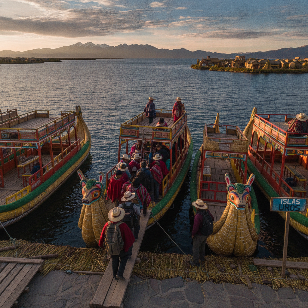
Lake Titicaca Practical Guide: Getting There, Island Visits, and Peru-Bolivia Border Crossing
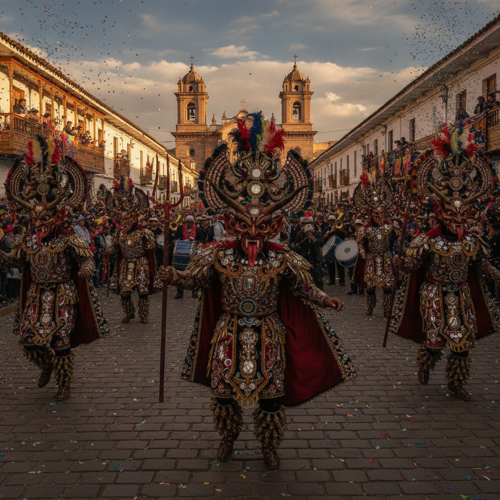
Lake Titicaca Puno Festivals: The Candelaria and Altiplano Folklore
Titicaca Aymara Culture: Language, Textiles, and the Living Tradition
Lake Titicaca Birdwatching: Flamingos, Grebes, and Andean Waterbirds
Lake Titicaca: The Highest Navigable Lake and the Birthplace of the Inca