Lake Atitlan: Caldera, Volcanoes, and the Twelve Maya Villages
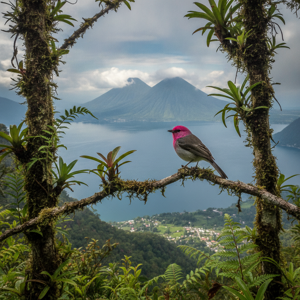
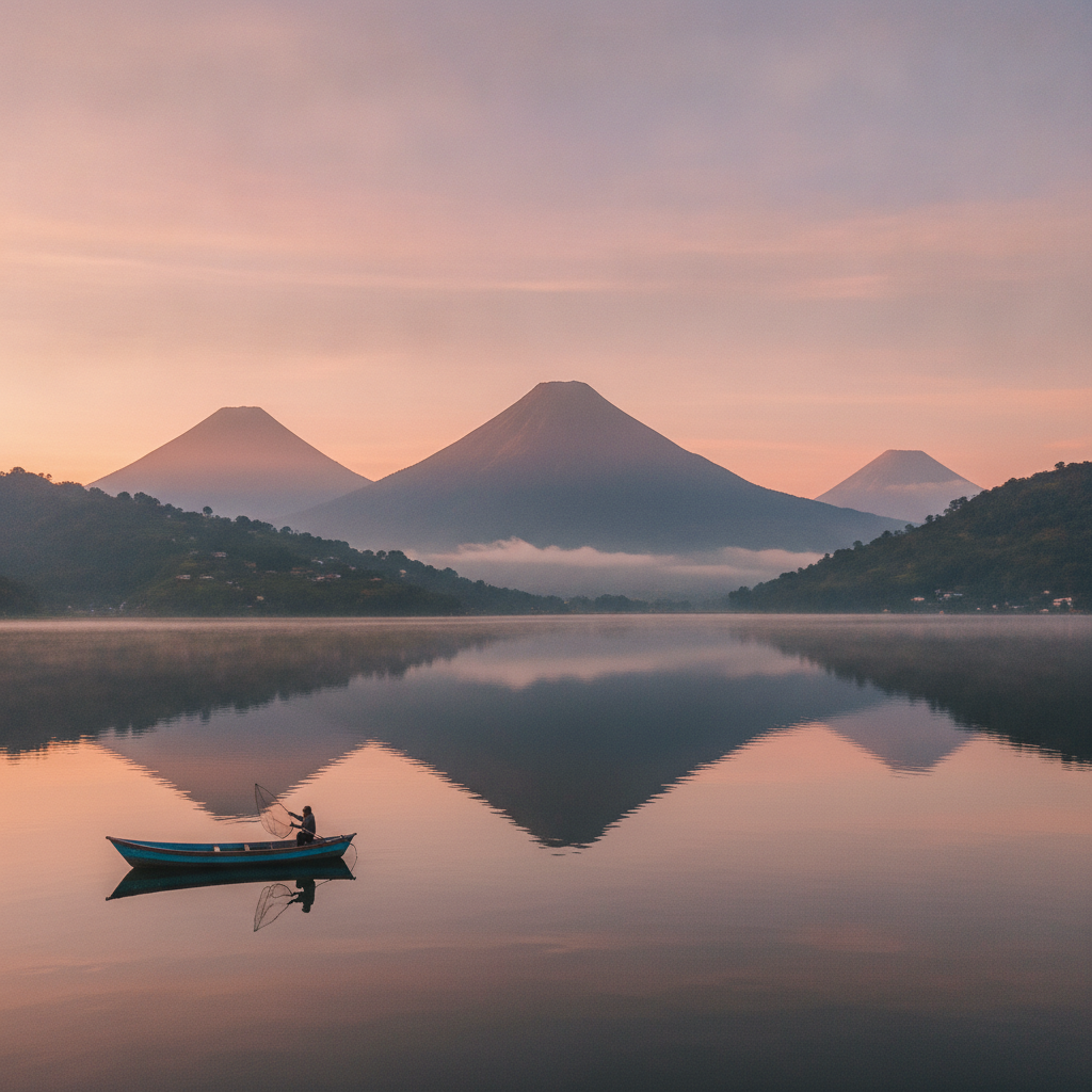
Lake Atitlan, called by Aldous Huxley the most beautiful lake in the world, occupies a volcanic caldera in the Guatemalan highlands at 1,562 meters altitude. Three active volcanoes, San Pedro, Toliman, and Atitlan, rise directly from the southern shore. The twelve villages surrounding the lake are each identified with one of the twelve apostles and maintain distinct indigenous Maya cultures: Tz utujil on the southern shore, Kaqchikel on the north and east. The lake has no natural outlet and its level fluctuates with rainfall cycles. This route covers the foundational geography, the Maya village cultures, and the natural history of one of the most dramatic highland lakes in the world.
- 1
The Caldera Geology: How Lake Atitlan Was Formed
Lake Atitlan occupies a caldera created by a series of massive volcanic eruptions spanning approximately 84,000 years. The Los Chocoyos eruption 84,000 years ago deposited ash across Central America and as far as Ecuador and the Gulf of Mexico, a volume of material estimated at 280 cubic kilometers. The caldera is approximately 18 by 13 kilometers and filled with water to a depth of 340 meters, making it one of the deepest lakes in the world. The three active volcanoes visible from the lake, San Pedro at 3,020 m, Toliman at 3,158 m, and Atitlan at 3,537 m, are post-caldera volcanic cones. The lake level has no surface outlet and fluctuates significantly: a 2009 hurricane raised the level by three meters, flooding lakeshore villages.
- 2
San Pedro La Laguna: The Backpacker Village and Coffee Farms
San Pedro La Laguna on the western shore has developed into the primary backpacker and budget traveler hub of the lake, with hostels, bars, and restaurants oriented to the international traveler market. The village is also an active coffee-growing community; the slopes of Volcan San Pedro above the town are covered with coffee plants, and several farms offer tours of the growing and processing operation. The steep trail to the San Pedro summit at 3,020 m is a challenging four-to-five hour round trip providing one of the best views of the lake from above.
- 3
Santiago Atitlan: Maximon and the Tz utujil Culture
Santiago Atitlan, the largest community on the southern shore, is the cultural center of the Tz utujil Maya people and home to the Maximon cult. Maximon is a wooden effigy combining pre-Christian Maya and colonial Catholic elements, maintained by the Cofrades religious brotherhood and receiving offerings of tobacco, rum, and silk from devotees seeking favors in business, love, and health. The community suffered severely during the civil war violence of the 1980s and successfully expelled the Guatemalan military after the 1990 massacre of 12 civilians. The woven textiles of Santiago Atitlan, featuring purple tones and stylized bird designs, are distinctive within the broader Guatemalan textile tradition.
- 4
San Juan La Laguna: Natural Dye Textiles and Artisan Cooperatives
San Juan La Laguna, a smaller village west of San Pedro, has developed a cultural tourism economy centered on natural dye textile production using traditional Maya plants including indigo, achiote, marigold, and various barks. The women weaving cooperatives offer demonstrations of the complete process from plant preparation to finished cloth, and the resulting textiles command premium prices in the artisan market. The village also has a concentration of Maya painters who have developed a distinctive primitivist style depicting lake landscapes and village life in vivid colors.
- 5
The Xocomil: Lake Weather and the Afternoon Wind
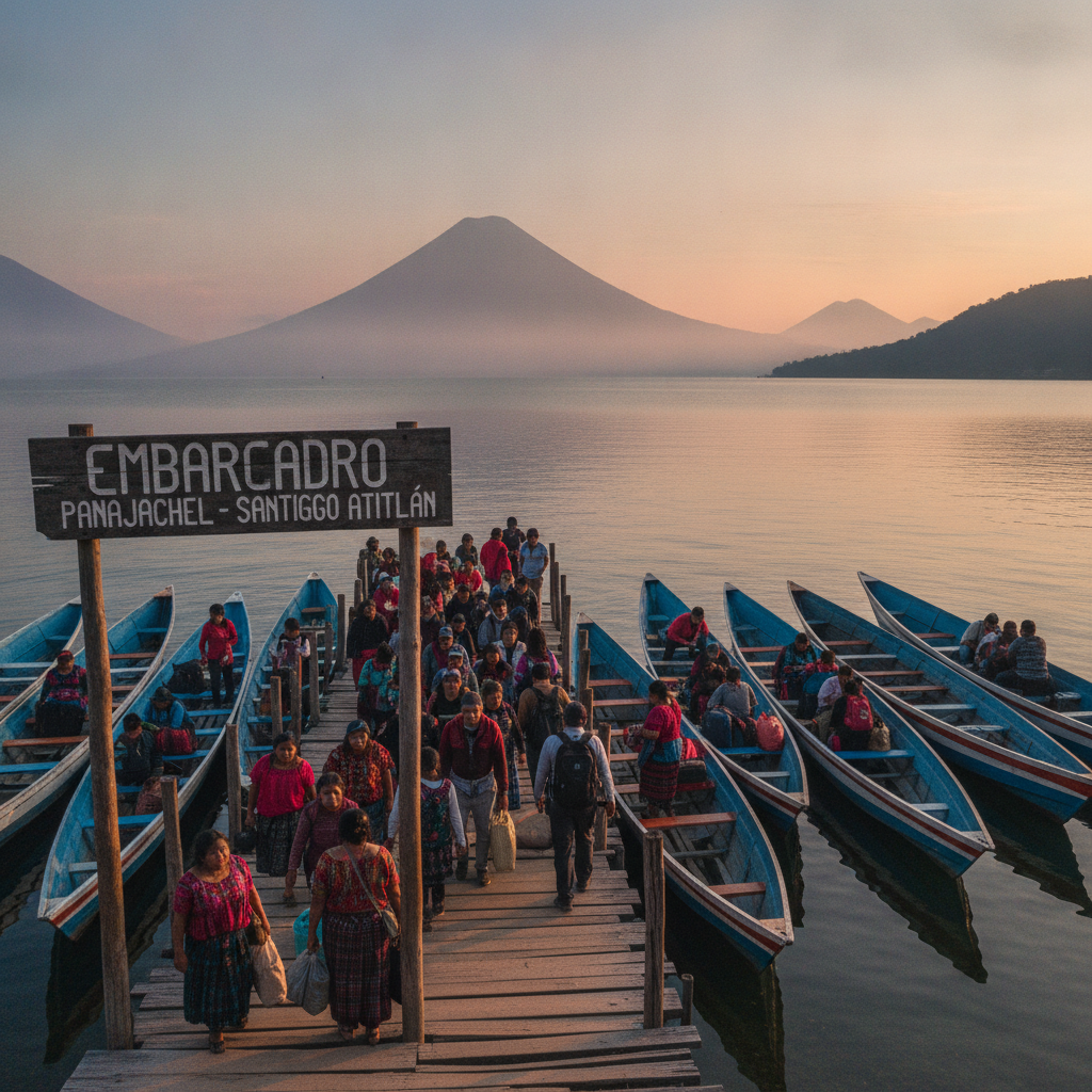
The Xocomil is the name given by the Tz utujil Maya to the powerful afternoon wind that sweeps across Lake Atitlan from the northeast, typically arriving between noon and 2 PM and creating waves that make lake crossings in small boats dangerous. The wind is a thermal phenomenon caused by the temperature differential between the cool highland air over the lake and the warm Pacific coast air accelerated through mountain gaps. Boat crossings should be scheduled for morning departures to avoid the Xocomil; afternoon crossings in small lanchas during strong wind conditions have resulted in drownings. The wind is most consistent and strongest from December through April.
- 6
Panajachel: The Tourist Gateway and the Calle Santander Market
Panajachel, where the main highway from Antigua descends to the lake shore, is the commercial gateway to the lake and the most developed of the twelve villages in terms of tourism infrastructure. The Calle Santander pedestrian market corridor concentrates textiles, jade, and handicrafts from surrounding communities in a dense shopping environment catering to day-trip visitors from Antigua and Guatemala City. The dock at Panajachel is the departure point for public lanchas to all lake villages, and the twice-daily schedule of these communal boats structures the rhythm of independent lake exploration.
Walk this route with audio
Stories play automatically as you reach each stop — no tapping needed.
More in Lake Atitlan
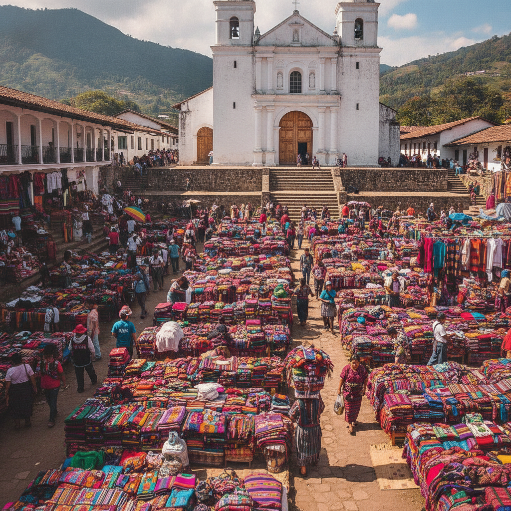
Lake Atitlan Day Trips: Chichicastenango, Antigua, and the Pacific Coast
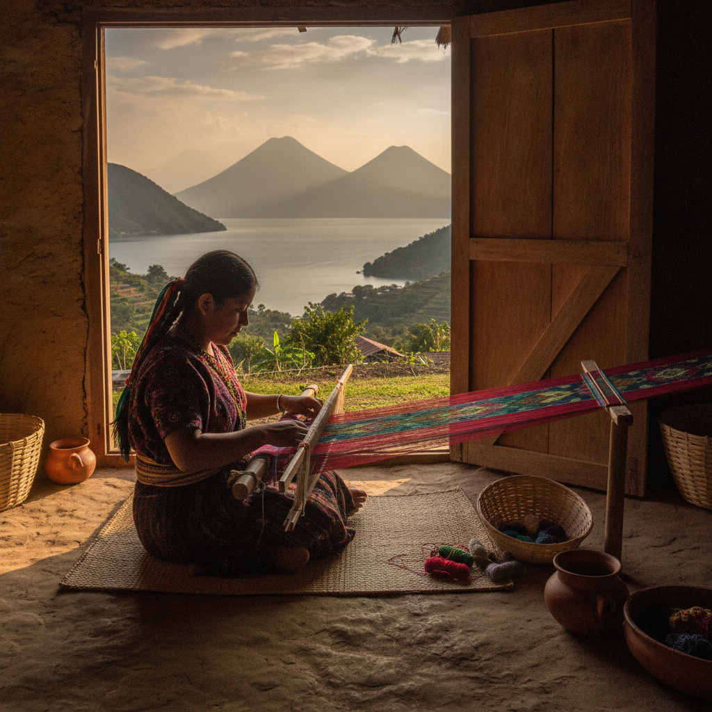
Lake Atitlan Textiles: Maya Weaving Traditions and the Huipil
Lake Atitlan Practical Guide: Getting There, Accommodation, and Village Logistics
Lake Atitlan Food and Coffee: Dining Between the Villages
Lake Atitlan History: Maya Kingdoms, Spanish Conquest, and Civil War