La Paz Practical Guide: Altitude, Neighborhoods, Transport, and Bolivia Circuit
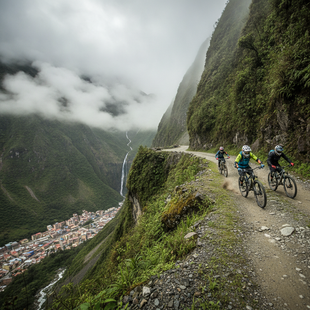
La Paz requires acclimatization planning that most other South American cities do not. At 3,650 meters in the city center and 4,150 meters in El Alto, altitude sickness affects a meaningful proportion of visitors arriving from sea level by air, typically manifesting as headache, fatigue, and nausea in the first 24 to 48 hours. The standard advice is to take it easy on arrival, drink coca tea, avoid alcohol, and allow two to three days before attempting high-altitude day trips. The teleférico cable car system connects all major neighborhoods and is the most efficient transport within the city. La Paz serves as the natural hub for a Bolivia circuit covering the salt flats, Sucre, Potosi, Lake Titicaca, and the Yungas, with good domestic flight and bus connections to each destination.
- 1
Altitude Acclimatization: Arriving at 3650 Meters
La Paz is one of the highest major cities in the world, and the physical effects of arriving at 3,650 meters by air from sea level are felt by most visitors regardless of physical fitness. The body requires several days to increase red blood cell production and adjust to reduced oxygen availability; in the meantime, exertion causes disproportionate breathlessness, sleep is often disturbed, headaches are common, and appetite may be reduced. The standard acclimatization approach is to arrive without a packed first-day itinerary, drink large quantities of water, consume coca tea which is freely available at all hotels and is a genuine mild altitude remedy, avoid alcohol for the first two days, and plan high-altitude excursions including Chacaltaya and Huayna Potosi for after at least three to four days of city-level acclimatization. Diamox acetazolamide is the standard pharmaceutical altitude medication and should be obtained before travel as a precaution for those with known sensitivity or ambitious high-altitude plans. The altitude difference between the city center and El Alto at the top of the teleférico is 500 meters and is noticeable as additional breathlessness even after several days in La Paz.
- 2
La Paz Neighborhoods: From the Colonial Center to Zona Sur
La Paz is organized vertically as much as horizontally, with altitude determining neighborhood character. The historic center around the Plaza Murillo, Plaza San Francisco, and the Mercado de las Brujas occupies the mid-canyon at approximately 3,650 meters and contains most colonial architecture, government buildings, and the densest concentration of tour operators. The Sopocachi neighborhood, slightly above and west of the center, is the primary zone for mid-range restaurants, bars, and the creative class. The Rosario neighborhood adjacent to the backpacker hub of Calle Sagarnaga below San Francisco is the primary budget accommodation zone. The Miraflores and San Pedro areas are residential mid-market zones. The Zona Sur, in the warmer and lower canyon section at approximately 3,100 meters, encompasses the upscale residential neighborhoods of Calacoto, San Miguel, and Achumani where most expatriates and upper-income Bolivians live, and where the most developed upscale restaurant and shopping scene is located. The teleférico connects several of these zones efficiently; Zona Sur has its own separate lower cable car lines.
- 3
The Teleférico Cable Car Network: Urban Transport at Altitude
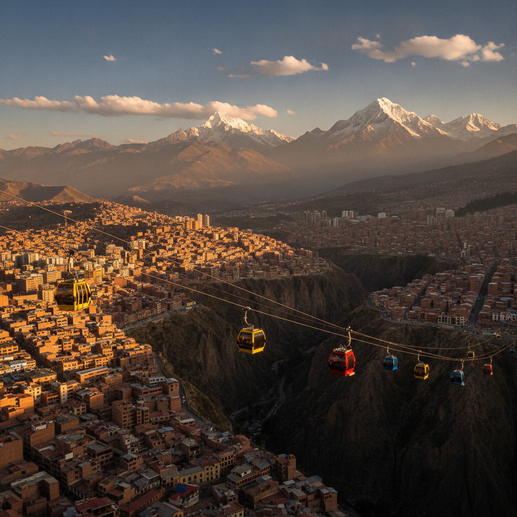
The Mi Teleférico cable car network, opened in phases from 2014 onward, is La Paz and El Altos urban mass transit solution for a city whose extreme topography makes conventional surface transport expensive and slow. The network consists of multiple colored lines connecting the canyon-bottom neighborhoods of La Paz to the plateau rim of El Alto, running continuously over terrain that buses navigate via winding switchback roads. The cable cars carry approximately 100,000 passengers daily, have reduced commute times between La Paz and El Alto from up to 90 minutes by road to approximately 15 minutes by air, and have significantly reduced vehicle congestion on the canyon roads. For visitors, the teleférico serves simultaneously as practical transport and as a scenic elevated viewpoint offering unobstructed views over the canyon city and toward Illimani. Fares are low and standard regardless of line or distance traveled. The network has won international urban planning awards and is frequently cited as an example of innovative transport solutions for high-altitude and topographically complex cities.
- 4
Bolivia Circuit: Uyuni, Sucre, Potosi, and Titicaca from La Paz
La Paz is the natural hub for the classic Bolivia tourism circuit that combines the four main destinations: Lake Titicaca to the northwest, the Salar de Uyuni salt flats to the southwest, Sucre the colonial capital to the southeast, and Potosi the silver mining city adjacent to Sucre. The most common circuit runs La Paz to Titicaca for one to two days including the Copacabana pilgrimage town and optional Sun Island, then south to Uyuni for the salt flat tours that typically run two or three days including the Eduardo Avaroa Andean Fauna Reserve at the Chile border, then northeast to Sucre for colonial architecture and dinosaur footprints, with a Potosi day trip or overnight from Sucre, and then a return to La Paz by flight or bus. The circuit takes a minimum of 10 days done efficiently and more comfortably 14 to 21 days. Domestic flights connect La Paz to Sucre in one hour, dramatically reducing the bus journey time; the Uyuni connection typically involves an overnight bus from La Paz or a flight with a connection. The salt flat tours depart from the town of Uyuni and operate in standard jeep groups of six passengers per vehicle.
- 5
Safety, Money, and Practical La Paz Logistics
La Paz has a moderate crime level for a South American city of its size, with petty theft the primary concern in tourist areas around Calle Sagarnaga and the Plaza San Francisco. Express kidnappings involving fake taxis have occurred; the standard advice is to use radio taxis called by phone or apps rather than hailing street taxis, particularly at night. The official currency is the boliviano, and the exchange rate to the US dollar has been officially fixed for years while a parallel market has sometimes offered better rates; checking current conditions before arrival is advisable. ATMs are widely available in the city center and Zona Sur but less reliable in El Alto. The San Pedro prison, once famous for its internal economy and organized tourist visits, is no longer accessible to visitors after the government ended the practice; tours advertised as going inside San Pedro are operating illegally. The main bus terminal, the Terminal de Buses, handles long-distance buses to Uyuni, Sucre, Potosi, Copacabana, and the Peruvian border. Domestic flights use El Alto International Airport at 4,061 meters, one of the highest commercial airports in the world and a challenging arrival point for those coming from sea level.
- 6
Getting to La Paz: International Connections and Border Crossings
La Paz is connected to major South American cities by direct flights operated by Bolivian airlines including BoA Boliviana de Aviacion and by regional carriers; connections from Europe and North America typically require a stop in Lima, Bogota, or Sao Paulo. The altitude of El Alto airport at over 4,000 meters means aircraft require longer runways and reduced payload capacity compared to sea-level airports, which historically limited the aircraft types and airlines serving La Paz. The Copacabana border crossing on Lake Titicaca is the standard overland route between La Paz and Puno in Peru, with bus services that include the ferry crossing across the Titicaca strait at Tiquina; the journey takes approximately seven to eight hours total and is scenically rewarding. The Tambo Quemado border crossing on the altiplano connects Bolivia to the Chilean city of Arica and is the main cargo route; it is used by budget travelers connecting to the Atacama region. The Bolivia visa situation varies significantly by nationality and should be verified before travel; some nationalities require advance visas while others receive entry stamps at the border.
Walk this route with audio
Stories play automatically as you reach each stop — no tapping needed.
More in La Paz
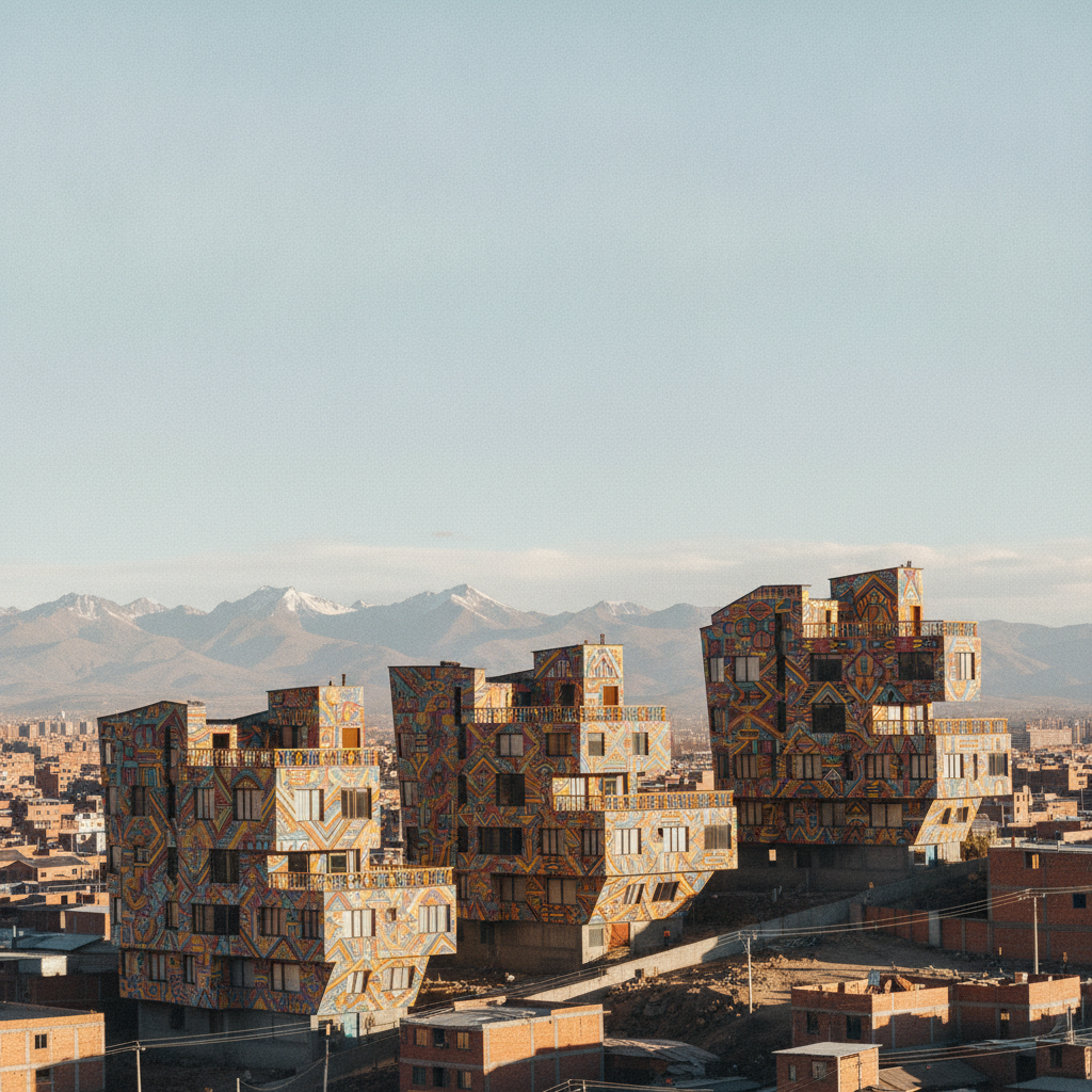
La Paz History: From Inca Settlement to the Seat of Government
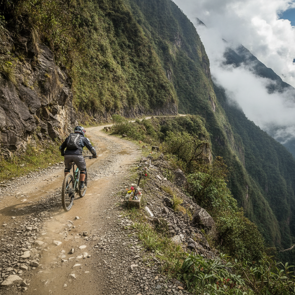
La Paz Adventure: Death Road Cycling, Cholita Wrestling, and Urban Zip Lines

La Paz: The World Highest Seat of Government and the City in a Canyon
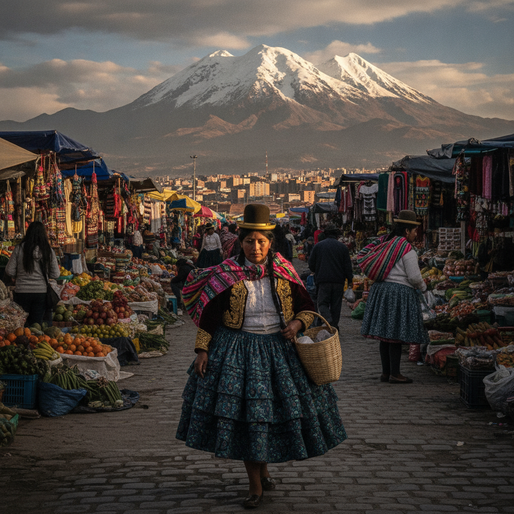
La Paz Aymara Culture: Language, Cosmology, and Living Indigenous Traditions
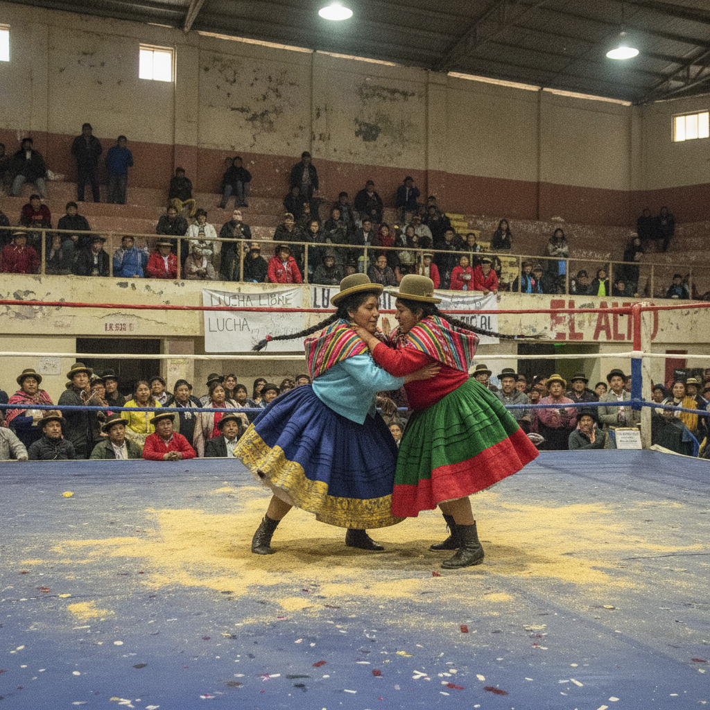
La Paz Arts, Music, and the Cholita Wrestling Scene