La Paz Nature Escapes: Valle de la Luna, Chacaltaya, and the Yungas
La Paz sits at the edge of one of the most dramatic natural transitions on Earth: within 50 kilometers, the altitude drops from the 4,000-meter altiplano to the 1,000-meter subtropical Yungas valleys, passing through cloud forest, dry valleys, and eroded badlands. The Valle de la Luna, a badlands landscape of eroded clay and sandstone pillars within city limits, offers a surreal moonscape accessible in under an hour from the city center. The former ski resort of Chacaltaya at 5,421 meters, once the highest ski area in the world, lost its glacier completely by 2009 due to climate change but remains accessible as a day hike offering views over the entire La Paz basin and toward Lake Titicaca. The Yungas valleys below La Paz produce coffee, coca, and tropical fruits in a lush forested environment that feels like a different planet from the altiplano above.
- 1
Valle de la Luna: Eroded Badlands Within the City
The Valle de la Luna, located in the Mallasa neighborhood approximately 10 kilometers from central La Paz in the warmer and lower section of the city canyon, is a landscape of deeply eroded clay and sandstone formations that produce pinnacles, ravines, and labyrinthine passages resembling the popular conception of a lunar surface. The erosion results from the combination of soft sedimentary rock laid down when the area was a lake bed, intense rainfall concentrated in the wet season, and the absence of significant vegetation cover on the clay slopes. A paved walking circuit of approximately one kilometer loops through the most photogenic formations, with a second longer option available. The site is managed as a municipal park with a small entrance fee and is accessible by city bus from the Calvario neighborhood. Beyond the formal park boundary, the broader Mallasa area extends through additional eroded landscape and connects to the Mallasa river valley, which offers a gentler natural environment of willows and cultivated plots more typical of the warmer canyon zones. The combination of bizarre geology and easy urban access makes Valle de la Luna the most visited natural attraction within La Paz city limits.
- 2
Chacaltaya: The Former Highest Ski Slope in the World
The Chacaltaya massif at 5,421 meters, approximately 30 kilometers north of La Paz on the Cordillera Real, contained what was once certified as the worlds highest ski area, operating from the 1930s until the complete disappearance of the Chacaltaya glacier in 2009. The glacier loss, documented by glaciologists as a direct consequence of rising temperatures in the tropical Andes, reduced Chacaltaya from a functioning if minimal ski area to a barren high-altitude summit with remnant infrastructure including a ruined ski lodge. The summit is now reached by a rough road accessible by 4x4 vehicle from La Paz in approximately 90 minutes, followed by a short but demanding walk at extreme altitude. The views from the summit on a clear day encompass the entire La Paz and El Alto urban area below, the Titicaca basin to the west, and the full wall of the Cordillera Real to the east including Huayna Potosi and Illimani. The Chacaltaya glacier loss has become one of the most cited examples of climate change impact in the Andes, studied extensively by glaciologists from multiple countries and used in international climate policy discussions as a documented case of small tropical glacier disappearance.
- 3
The Death Road Descent: Cycling the World's Most Dangerous Road
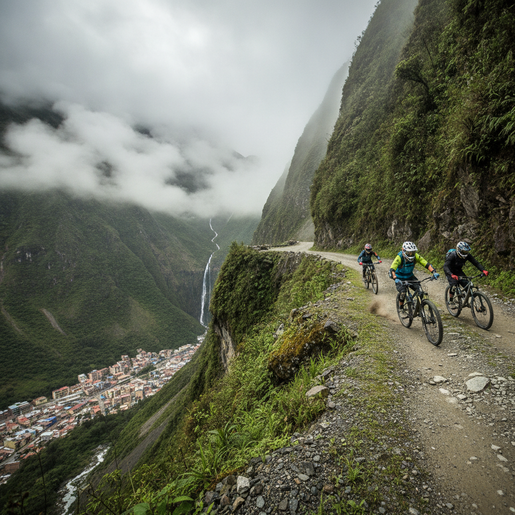
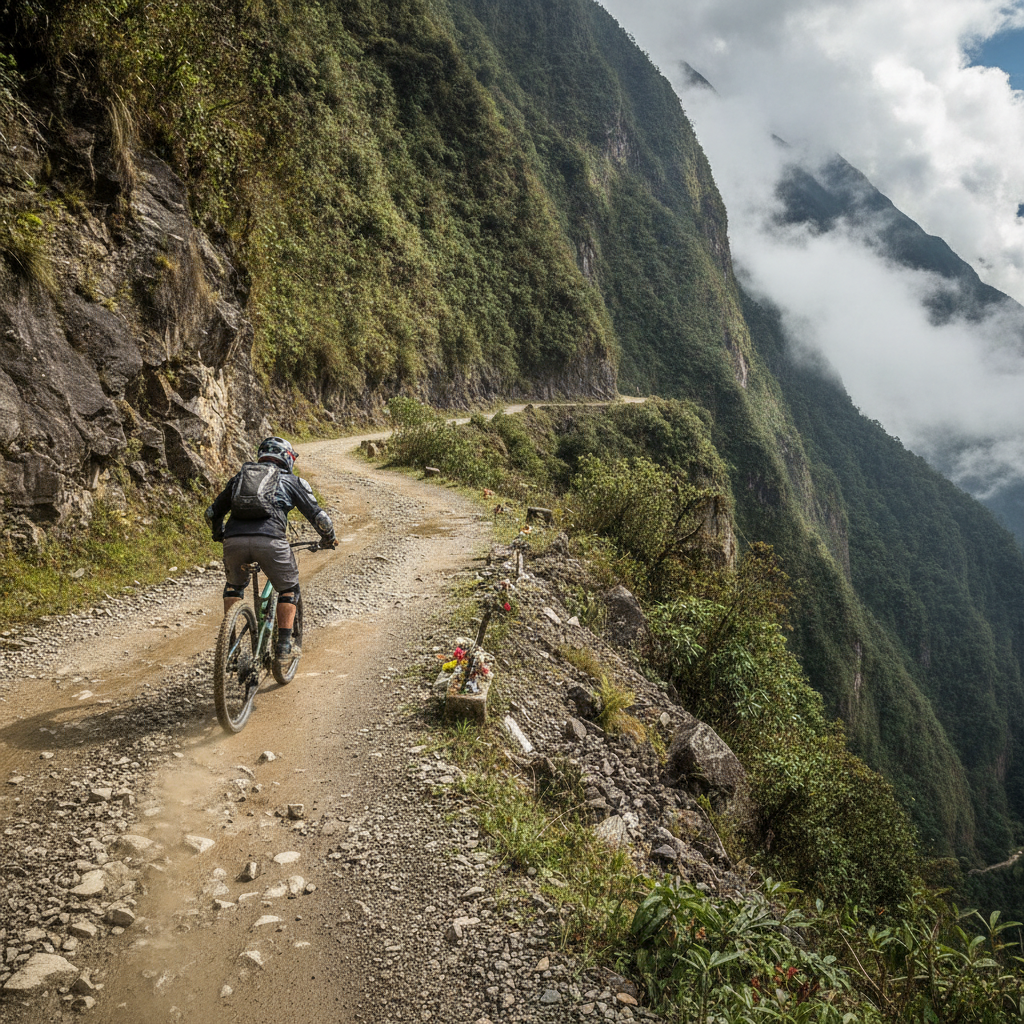
The North Yungas Road, internationally known as the Death Road or El Camino de la Muerte, descends approximately 3,600 meters over 64 kilometers from the La Cumbre pass at 4,650 meters altitude to the town of Coroico in the Yungas at 1,100 meters, passing through multiple ecological zones from altiplano to cloud forest to subtropical valley. The road was constructed by Paraguayan prisoners of war during the 1930s Chaco War and operated as the primary supply route between La Paz and the northern lowlands until a replacement paved highway opened in 2006. During its operational years the road claimed an estimated 200 to 300 lives annually from vehicles going over the unguarded cliff edges on a one-lane dirt track barely wide enough for two vehicles to pass. Since the main traffic shifted to the new road, the old Death Road has been repurposed as a mountain biking descent operated by dozens of La Paz tour operators, offering cyclists a full-day guided experience that begins at La Cumbre in freezing altiplano conditions and ends in tropical warmth with a swim and beer in Coroico. The descent is genuine adventure with real risk: the road edge remains unguarded and several cyclists have died on the route since it became a tourist attraction.
- 4
Huayna Potosi: The Beginner Mountaineering Peak Above La Paz
Huayna Potosi at 6,088 meters altitude, rising from the Cordillera Real approximately 25 kilometers north of La Paz, is one of the most accessible 6,000-meter peaks in the world and the most popular mountaineering objective in Bolivia, attracting several thousand climbers annually including many with limited or no prior high-altitude mountaineering experience. The normal route via the west face is technically classified as a moderate snow and ice climb requiring crampons, ice axe, and basic rope technique, and is frequently climbed by guides with clients who have had only one or two days of training on the glacier below the summit. The basecamp at 4,700 meters and high camp at 5,300 meters are accessible by 4x4 vehicle, reducing the approach effort and concentrating the genuine mountaineering to the summit day glacier climb. Success rates vary significantly with weather conditions and client fitness; altitude acclimatization from time spent in La Paz and the surrounding area is the primary determinant of summit success rate. The Bolivian mountain guide association operates formal guiding services from La Paz, and several independent guide operations offer Huayna Potosi as a two or three day package including transport, equipment, and guiding.
- 5
The Yungas Valleys: Coffee, Coca, and Cloud Forest Below La Paz
The Yungas, the subtropical forested valleys that descend from the La Paz altiplano on the eastern slope of the Cordillera Real, begin below approximately 2,500 meters altitude and transition through cloud forest to warm valley floor at 1,000 to 1,500 meters where the primary agricultural communities of Coroico, Caranavi, and the surrounding villages are located. The Yungas produce the legal coca leaf that is central to Bolivian indigenous culture, Yungas coffee that is gaining recognition in specialty markets, subtropical fruits including citrus, mango, and avocado, and the cacao that forms the base of Bolivian artisan chocolate production. The Yungas town of Coroico, accessible via the Death Road cycling route or the newer paved highway from La Paz, has a substantial tourism infrastructure serving both Bolivian weekend visitors from La Paz and international travelers looking to experience the transition from altiplano to tropics. The cloud forest ecosystems of the upper Yungas slopes are among the most biodiverse habitats in Bolivia, with exceptionally high bird species richness that attracts dedicated birdwatchers.
- 6
Tiwanaku: Pre-Inca Civilization at the Gate of the Sun
Tiwanaku, located on the altiplano south of Lake Titicaca approximately 70 kilometers from La Paz, was the center of one of the most important pre-Columbian civilizations of South America, flourishing from approximately 400 CE to 1000 CE and at its peak controlling territory across the Titicaca basin and into the valleys below. The Tiwanaku civilization developed sophisticated agricultural techniques including the raised field systems called suka kollus that transformed waterlogged lakeshore areas into highly productive agricultural land, and created the monumental stone architecture that remains visible at the site including the Akapana pyramid, the Kalasasaya temple platform, and the carved stone figures called puerta del sol and puma punku. The Gate of the Sun, a single carved stone doorway 2.7 meters tall, is the most iconic single object from Tiwanaku and has been widely interpreted as containing astronomical and calendar information in its carved frieze. Tiwanaku declined before the Inca empire expanded into the region, and Inca culture incorporated Tiwanaku as a sacred origin site in their cosmology. The site is a UNESCO World Heritage Site with an on-site museum and is accessible as a half-day trip from La Paz.
Walk this route with audio
Stories play automatically as you reach each stop — no tapping needed.
More in La Paz
La Paz History: From Inca Settlement to the Seat of Government
La Paz Adventure: Death Road Cycling, Cholita Wrestling, and Urban Zip Lines

La Paz: The World Highest Seat of Government and the City in a Canyon
La Paz Aymara Culture: Language, Cosmology, and Living Indigenous Traditions
La Paz Practical Guide: Altitude, Neighborhoods, Transport, and Bolivia Circuit