Waihopai River & Estuary Loop Walk
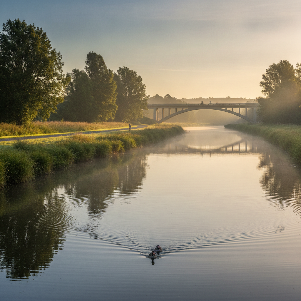
Walk along the Waihopai River from the city through wetland reserves to the New River Estuary — a surprising wilderness at the edge of New Zealand's southernmost city.
- 1
Waihopai River Esplanade
The river esplanade provides a peaceful walking path through the city's southern suburbs, the river running clear and cold from the Southland plains.
- 2
Wetland Reserve Boardwalk
A boardwalk crosses wetland margins rich in native rushes, sedges, and the native aquatic plants that once covered Southland's lowland waterways.
- 3
Shag Point Bird Hide
A purpose-built bird hide overlooks a shag (cormorant) colony — great, little, and spotted shags nest on the river banks within sight of the city.
- 4
New River Estuary Edge
The estuary margins are a feeding ground for oystercatchers, stilts, and godwits — the tidal patterns create constantly changing bird activity throughout the day.
- 5
Sandy Point Domain
The coastal domain at the estuary contains native sand country plants, mountain bike trails, and picnic areas popular with Invercargill families on weekends.
- 6
Oreti Estuary Junction
Where the Waihopai meets the main estuary, the combined waterway reflects the wide Southland sky — an unexpectedly beautiful and remote-feeling landscape.
Walk this route with audio
Stories play automatically as you reach each stop — no tapping needed.