Atyrau Caspian Depression Geology Below Sea Level
Explore the geological marvel of the Caspian Depression around Atyrau — the vast lowland lying 28 meters below global sea level, the lowest point in Eurasia outside the Dead Sea depression, the product of tectonic processes and the isolation of the Caspian from the global ocean, the salt deposits and the geological formations that explain both the extreme landscape and the presence of oil.
- 1
Below Sea Level Landscape
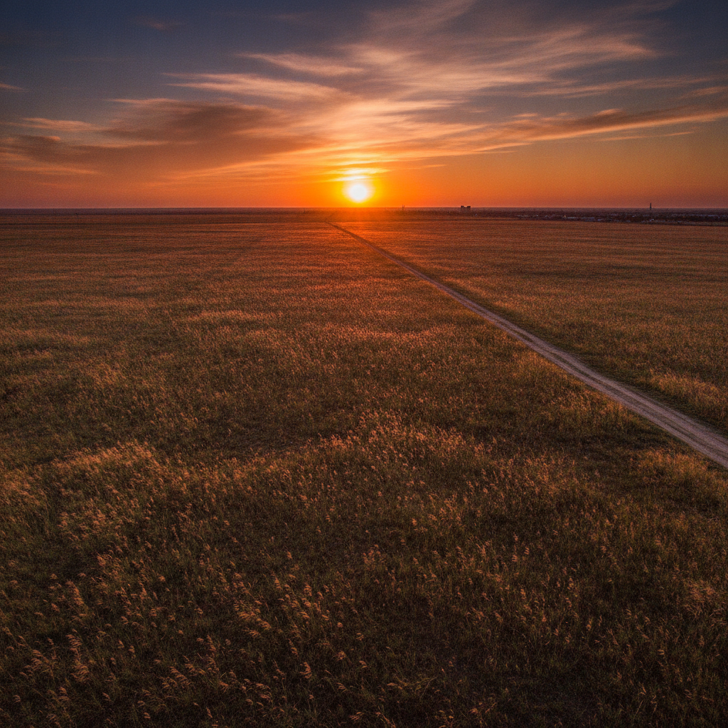
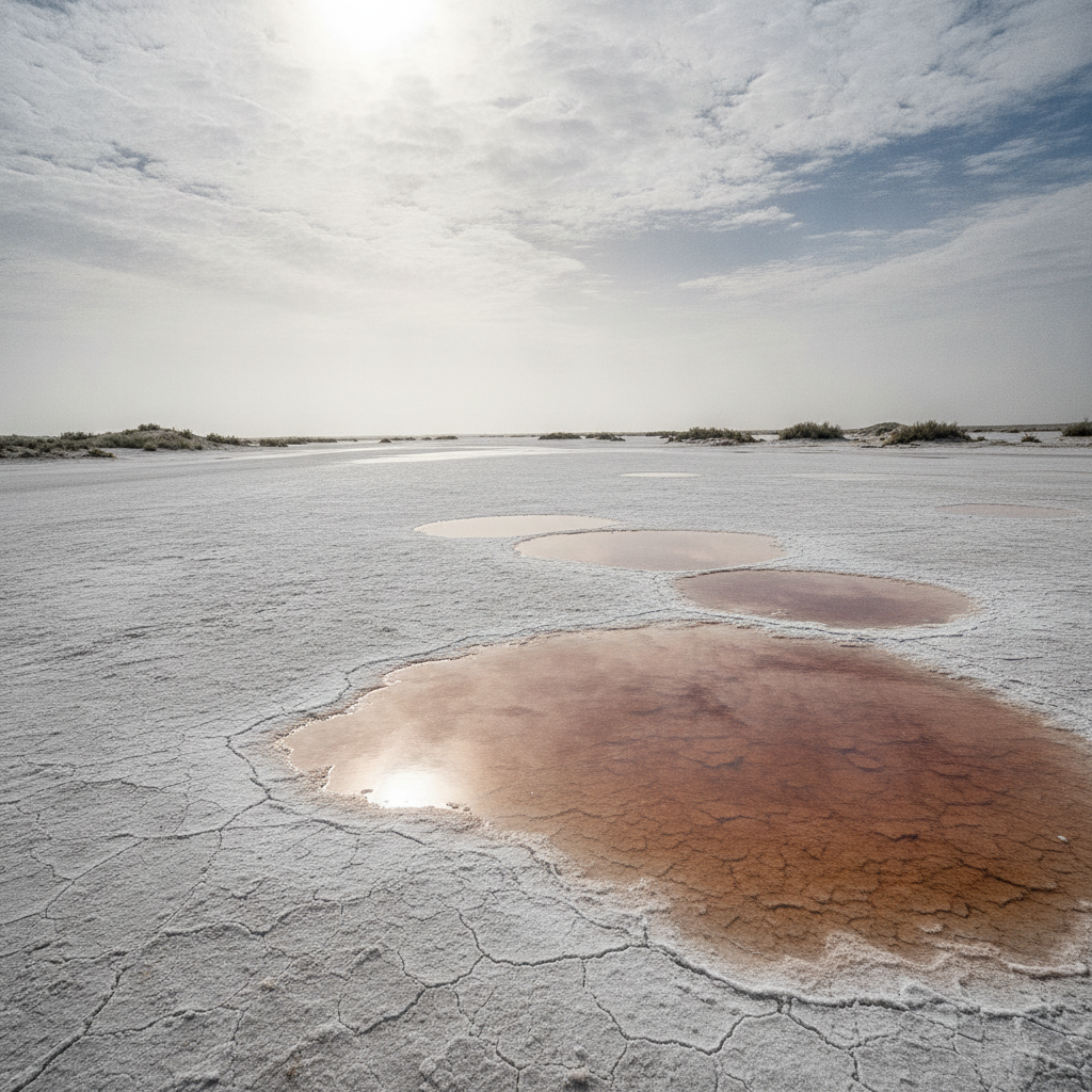
The below-sea-level landscape around Atyrau — the flat salt steppe lying 28 meters below the level of the world ocean, invisible to the eye because there is no horizon reference for the depression, visible only in the measurement that reveals this vast lowland as the lowest point in Eurasia outside the Dead Sea, the landscape where the salt crust left by the ancient Caspian Sea's higher water levels is visible in the white deposits on the steppe surface.
- 2
Salt Dome Oil Trap Geology
The salt dome geology of the western Kazakh oil fields — the process by which salt deposited during ancient Caspian high-water periods has been pushed upward by geological pressure into dome structures that trap the oil and gas migrating through the sedimentary rocks, the Tengiz oil field sitting above a massive salt dome that created the geological trap concentrating one of the world's largest oil accumulations.
- 3
Ancient Caspian Sea History
The ancient Caspian Sea history visible in the landscape around Atyrau — the wave-cut terraces and ancient beach ridges visible on the flat steppe, the fossil shells exposed in the eroded cliff faces, the geological record of the Caspian's much higher water levels in the geological past when the sea extended far north and west of its current shoreline, the landscape as a geological archive of climate change.
- 4
Natural Gas Condensate Processing
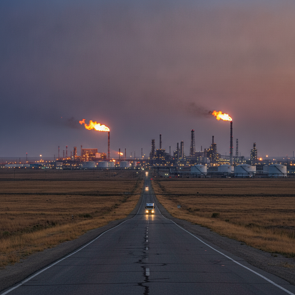
The natural gas condensate processing visible around Atyrau — the facilities that separate and process the natural gas produced alongside the oil at the Tengiz and other western Kazakh fields, the sulfur stockpiles accumulated from the processing of high-sulfur crude, the industrial landscape of petrochemical processing that dominates the steppe around the city.
- 5
Earthquake Risk Seismic Zone
The earthquake risk and seismic zone of the western Kazakhstan region — the Atyrau area's position within a seismically active zone related to the geological structures of the pre-Caspian basin, the monitoring of seismic activity that is important both for the safety of the oil infrastructure and for understanding the ongoing geological processes that have created the petroleum deposits.
- 6
Fossil Sea Bed Landscape
The fossil sea bed landscape near Atyrau — the flat, white salt plain visible north of the city where the ancient Caspian Sea bed has been exposed by the sea's falling water level, the landscape of cracked salt and sparse halophytic vegetation that was open water a century ago, the geological dynamism visible in the changing shoreline that has expanded and contracted throughout recorded history.
Walk this route with audio
Stories play automatically as you reach each stop — no tapping needed.